Green Island is a residential neighborhood on the south end of
La Crosse, Wisconsin. It is located on an island with only
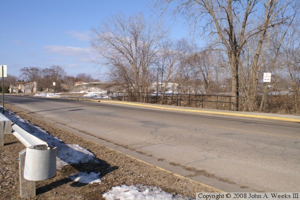
one road to the mainland, 7th Street South. The island is by
Swift Creek and Bluff Slough on the east, Mormon Slough on
the south, Sand Slough and the Mississippi River main channel
on the west, and a small channel on the north side of the island.
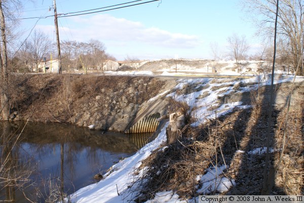
This small channel has been filled in over the years, and all
that remains today is a large culvert with some bridge-like
guard rails.
Green Island is prone to flooding, and has a major flood on an
average of once per decade.