| Highways, Byways, And Bridge Photography |
McKinley Bridge
McKinley Bridge Crossing From East To West
Saint Louis, Missouri

|
• Structure ID: |
NBI 000060600214602. |
|
• Location: |
River Mile 182.5. |
|
• Highway: |
McKinley Bridge Road. |
This is a photo tour of a crossing of the McKinley Bridge traveling east
to west from Illinois over the Mississippi River and landing in Saint Louis.
This trip was made in 2008 after the bridge was reopened following a major
rebuild.
The photo above shows the park and monument at the east end of the bridge.
There is a parking for people to visit the monument, and also longer term
parking for those using the regional trails that meet at this location.
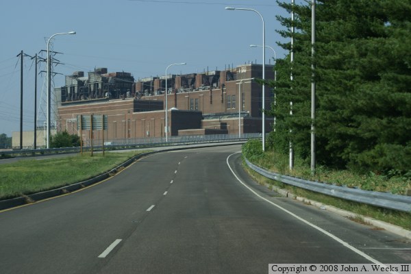
The photo above is heading up the ramp to get to the bridge. The large
building next to the bridge is a power plant. The photo below show our
progress up the entrance ramp. The bridge officially starts where the
ramp becomes concrete.

The photo above continues our progress driving up the ramp to the bridge.
The ramp eventually narrows down to one lane.
The photo below is a quick view out the side window while traveling up
the ramp. From this vantage point, we can see the truss spans that
cross the Mississippi River. The first truss span is perfectly centered
within the framework of this structure at the power plant substation.


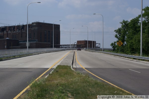
The photo above shows our travel continuing on the steel girder section
of the bridge. The curve will line up the roadway to the main bridge
spans.
The photo below is our approach to the main truss spans. The white
buffers block the entrance to the walkway and service road from the
main traffic lanes.
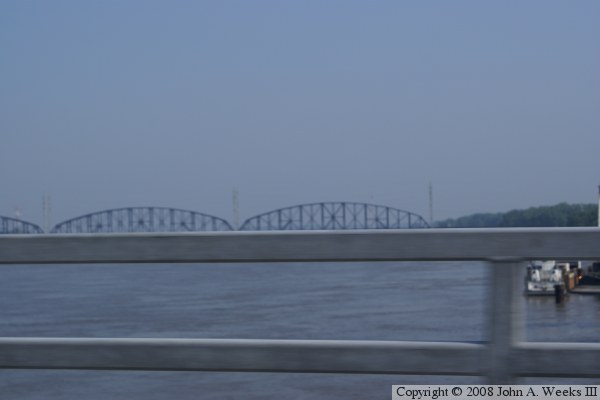
The photo above is a quick view out the side window, where we see a view
of the Merchants Bridge, and also notice that the river is at a high water
stage.
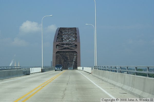
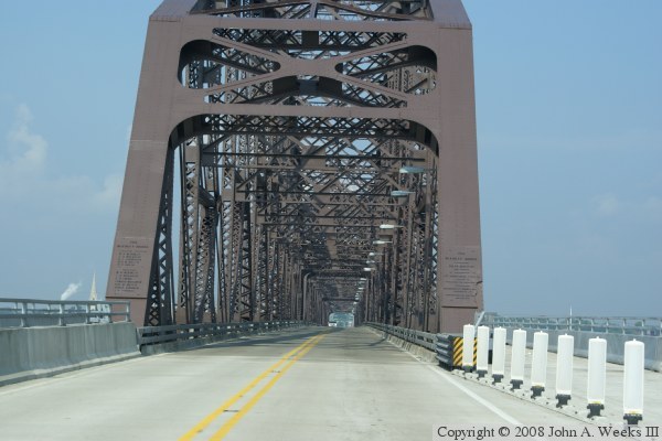
The photo below is a view entering the first of the three main truss
spans. Note that the bridge plate is still attached to the bridge.
Also notice that while traffic is restricted to the two center lanes
that run through the truss, there is a service lane on the right side,
and an equal sized lane for a regional trail on the left side.
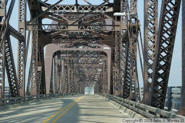
The photo above shows our progress about two-thirds of the way through the
main truss. The photo below shows our exit from the second truss span and
entry to the third truss span. Notice the rivets are visible in this view.
In fact, there are an amazing number of rivets in this structure.

The photo above is our exit from the truss spans. A view to the left
shows where the regional bicycle trail branches off of the bridge. The
trail bridge will land several blocks to the south of the highway bridge.

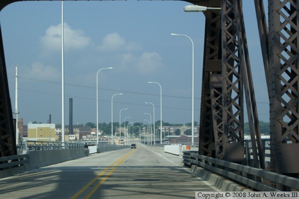
The photo above shows our trip continuing on the new steel girder elevated
roadway that carries traffic between the bridge and I-70. Notice the red
SUV has suddenly appeared in front of us. Each time I crossed the bridge,
I was illegally passed by at least one speeding motorist despite following
the posted speed limits. The roadway first makes a slight left curve, then
a larger right curve, and finally this sharper curve to the left. The
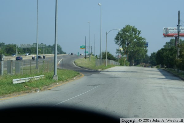
photo below shows the final curve before the end of the bridge.


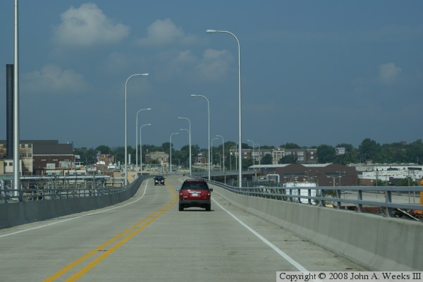
The photo above shows the intersection at the west end of the bridge. If
you go straight, you cross the bridge over I-70, and then have the choice
to enter I-70 heading east towards downtown. The photo below shows the
other choice, turning to the right, and using the hastily built ramp to
enter I-70 westbound heading towards the airport.
|
