This is my second installment detailing the bridges and structures of a
great American river. In this survey, we visit the bridges, locks, and
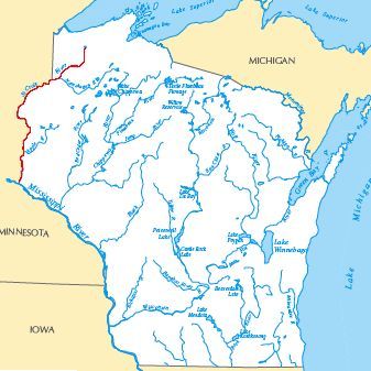
dams on the Saint Croix River. This river forms the border between the
states of Minnesota and Wisconsin for 125 miles. It starts in
an area of springs and bogs near the small town of Solon Springs,
Wisconsin. The Saint Croix flows south, passing near the Twin Cities,
and merges into the Mississippi River at Prescott, Wisconsin. The
river was historically important to both the Indians and early trappers
as a transportation route. The river again became important to the
national economy in the late 1800s during the harvest of the virgin
white pine. That came to an abrupt end in 1912 when the timber ran
out. Since that time, the Saint Croix has become an important tourist
attraction. The federal Wild and Scenic River Act was passed just to
project the Saint Croix River. Today, the Saint Croix is a major recreation
area that is closely protected by both the states and local residents.
The Saint Croix river was formed relatively recently in geological terms.
During the last ice age, a glacier blocked the south end of Lake
Superior, forming glacial Lake Duluth. As the ice retreated, Lake
Duluth broke though its banks to the south and started to drain. The
water rushed to the south cutting first the Saint Croix valley, and later
the Mississippi River valley south of Hastings. Once the glaciers
melted and Lake Duluth was empty, a small rise of land divided the
Saint Croix river near the present day town of Solon Springs, Wisconsin.
At this point, water on the northeast side of the divide flowed though
the Bois Brule River to the north into Lake Superior. Water on the
south and west side of the divide flowed south on the Saint Croix River,
then flowing into the Mississippi River at Prescott, Wisconsin.
This divide is not a hill or a mountain, rather it is no more than
a matter of a few inches in a swampy area at the north end of Upper
Saint Croix Lake. This swampy area sits in the river valley carved by
the glacial river flow. In contrast to the divide being only a few
inches in elevation, the river valley is over 100 feet deep.