The Cutler-Donahoe Bridge is located in the Winterset City Park on the
southeast side of Winterset, Iowa. The bridge was originally located in
Bevington, Iowa, near the interchange of Interstate highway I-35 and
Iowa highway 92. It was moved to Winterset in 1970, going on display
just in time for the first Madison County Covered Bridge Festival.
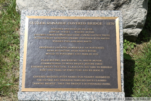
According to the marker located near the bridge, the structure was moved by
Clair Rogers of Macksburg, Iowa. After the bridge was moved, Rogers donated
his time to rebuild the western third of the bridge and install a new roof.
The marker also notes that two different families claimed naming rights to
the bridge, leading to its hyphenated name.
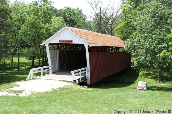
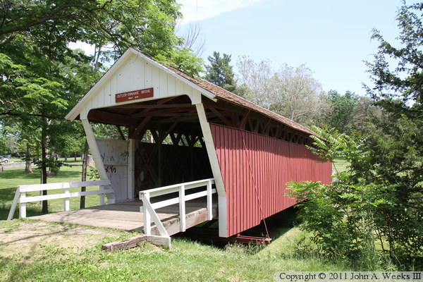
The photo below is looking southwest towards the east portal of the
Cutler-Donahoe Bridge from the roadway that runs through the Winterset
City Park. The photo below is a view looking north towards the south
face of the covered bridge. The Cutler-Donahoe Bridge does not cross
an active river. Rather, it crosses a natural swale that runs through
the park.
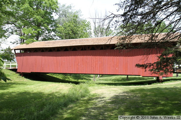
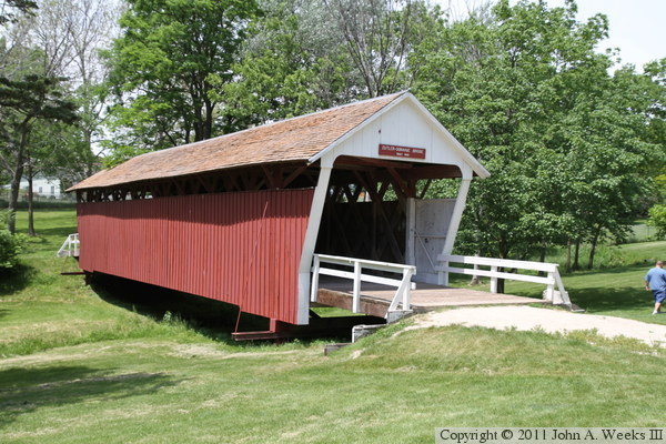
The photo above is looking northwest towards the south face of the bridge
and the east bridge portal. The photo below is looking west down the
length of the bridge deck.
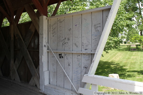
The photo above is the west bridge portal. The photo below is the side
of the bridge at the east portal. The bridge roof is extended beyond the
end of the bridge span, which serves to protect the structure at the end
of the bridge from driving rain or snow that falls at an angle. Tourists
are using the this area to sign their names.
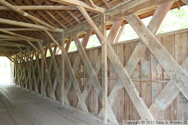
The photo above is the truss structure on the side of the bridge. This
bridge is built much lighter than the other 5 remaining covered bridges,
such as having only one main beam at the top, and no arch style beams.
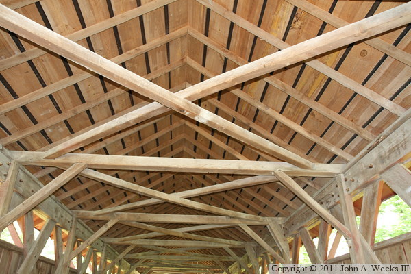
The photo below is the bridge roof, which has a peak similar to the
Imes Bridge, but unlike the flat roof on the other 4 remaining bridges.
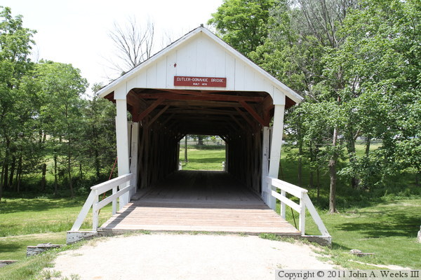
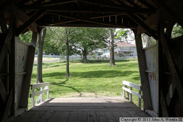
The photo above is the view looking out the west portal towards houses
located in Winterset. The photo below is a marker located near the east
bridge portal.
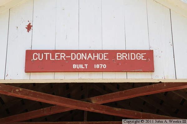
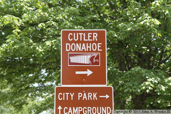
The photo above is the bridge name sign located above one of the bridge
portals. The photo below is a guide sign to help tourists find the structure.