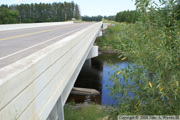
One curious feature of the bridge are the unusual foundations for the bridge piers. Bedrock is probably deep in this area, so it isn't practical to dig down to bedrock and start building the piers. As a result, engineers often drive in piles, and then top off the piles with a concrete pile cap. This pile cap is normally directly under the girders, or is at the bottom of the riverbed. In this case, the pile cap is set at river level, and a set of large piers have been built on top of the pile caps. I have no idea why this was done.
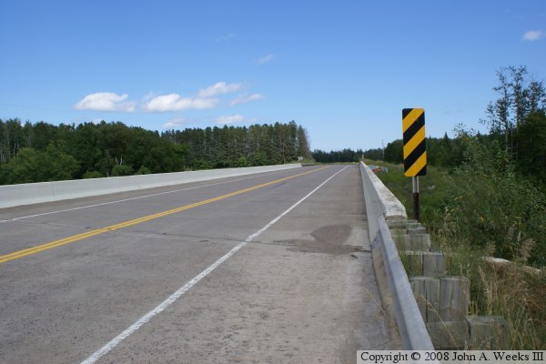
Another curious feature of the bridge is that the roadway, CSAH-29, makes a 90 degree curve from heading north to heading east. The bridge is part of the curve, but the bridge itself is perfectly straight. A final curiosity is that the bridge spans are not of equal length as is typically seen in prestressed concrete girder bridges. The main river span is 128 feet, with the side spans each being 93 feet. This is often seen on bridges over river navigation channels, but this section of the river is not navigable. Perhaps ice is a problem at this location. Ice protection could also be the reason for the unusual pier foundations.
It is interesting to note that this is called the Van Buren Bridge, but it is not on Van Buren Road. Van Buren Road ends just west of the bridge. A quick look at a topographical map fills in the details. Van Buren Road used to go east and west, and included the river bridge. That bridge was located just to the north of the current bridge. CSAH-29 intersected Van Buren Road west of the bridge and ended. When the bridge was replaced, the roads were realigned such that CSAH-29 made a sweeping curve from north to east, crossing the river in the process. Van Buren Road was truncated and now meets CSAH-29 before crossing the river. This change was made to reflect the fact that most traffic that uses CSAH-29 continues on to points east and north of the bridge as opposed to using Van Buren Road.
The photo above is looking west along the downstream south face of the bridge. The pier foundations are visible, as well as the longer center span with the piers set near the edges of the river. The bridge looks new in this photo with no effects of weathering visible other than at the water line.