Zim Road is one of those highways that you look at, and cannot figure
why it exists. It historically connected the villages of Zim and Little
Swan, neither of which still exist. The road was stitched together
from 3 other east-west township roads, with a new diagonal section
in the middle to tie it together. One can look at a topographical
map and see the original path and location of the original bridge
at this location prior to the new diagonal roadway being built. As
it stands today, Zim Road, which is now partially state funded as
a County State-Aid Highway, acts as a connector and river crossing
between two much more heavily traveled north-south routes.
The bridge is relatively new, being nine years old when this was
written. It is a very typical prestressed concrete girder bridge
with a modern reinforced concrete deck and the new style slanted
guardrails. The bridge has no decorative features. It will, however,
last a great many years without requiring much in the line of routine
inspections or maintenance. This is the true beauty of this type
of bridge. It does the job very well, it is economical to build,
and economical to maintain. An interesting feature of this bridge
is that it is built on a slight angle. The river crosses under
the bridge at a slight angle, plus the roadway dips to the south
just a bit on the west end. Rather than squaring up the river,
it was decided to build the bridge as a parallelogram rather than
a rectangle.
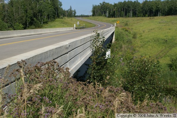
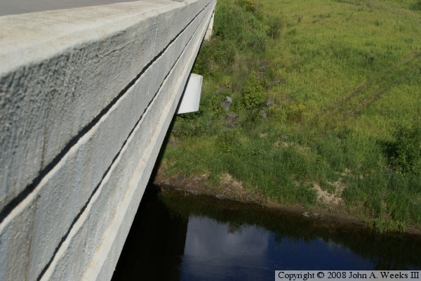
The photo above is a view looking east along the downriver south face of the
Zim Road Bridge. The two curves in the road east of the structure allows
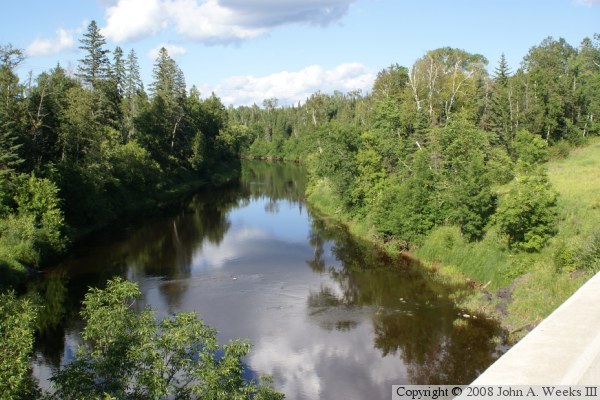
this new river bridge to connect to the old road alignment. The photo above
is looking upstream along the Saint Louis River from the north side of the
bridge deck. The old bridge was located at the point where the river bend
to the right increases, about at the center of this photograph.
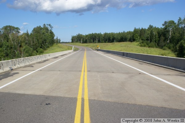
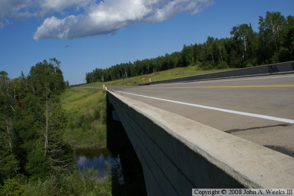
The photo above is is looking east down the center of the bridge deck. The
photo below is looking northeast across the bridge deck from near the
southwest corner of the structure. The fact that the bridge is set at an
angle to the highway is very apparent in these two photos.
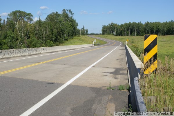
The photo above is a view looking east along the downstream south side of the
bridge, while the photo below is looking east down the upstream north side of
the structure. Both of these photos are compromises. Brush was blocking the
view from the riverbank. The riverbank on the east end of the bridge was
clear of brush, but the photos would have been facing into the bright afternoon
sun.