The NP announced in 1879 that they were building west another 200 miles to the Yellowstone River, near the Montana state line. According to the Mandan Historical Society, thousands of people moved into the Bismarck area looking for work. Many settled in a work camp just west of the Missouri River, which the the present day location of the City of Mandan.
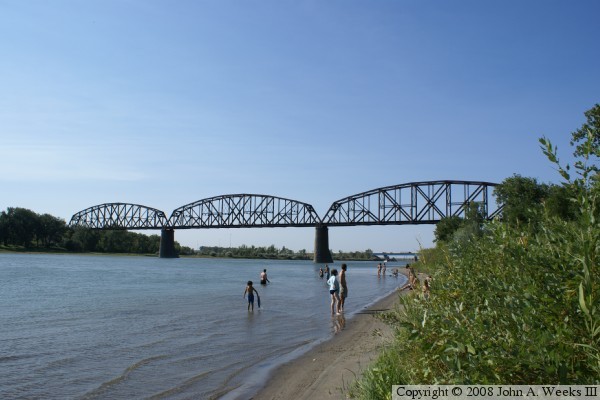
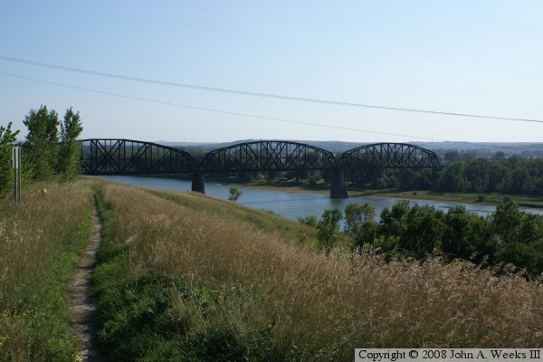
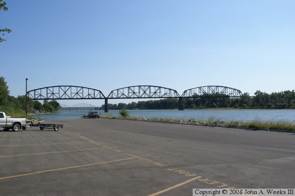
Work began on the bridge September 1, 1881. The east truss span was finished May 9, 1882, the west span on June 3, 1882, and the center span was finished October 18, 1882. The bridge cost just over $1-million to build, which was big money in the late 1800s. The bridge features four large granite piers. The stone work on these piers give the bridge a very elegant yet sturdy look.
Early bridge photos show that the truss sections were flat on top, and they included both cables and braces in the structure. Current day photos show the truss sections to be humpback shapes that do not use cables as structural members. The truss spans were replaced in 1905 to support heavier locomotives. The rebuilt bridge was located on the 1882 piers.
The huge debt from the High Bridge and westward expansion caused real problems for the NP. It survived until a panic in 1893 pushed the railroad into bankruptcy. From there, the line was bought and sold to a number of railroad tycoons, until it again went public in the 20th century. The NP name came to an end on March 2, 1970, when it merged with the Great Northern and the Chicago, Burlington, and Quincy to become the Burlington Northern. The BN later merged with the Santa Fe Railway to become the BNSF, the current owners of the High Bridge. Rail traffic dropped on the high bridge after the 1970 merger when the BN used the former GN mainline in favor of the NP mainline. Traffic on the NP mainline and the High Bridge have dramatically increased in recent years due to long unit trains hauling coal out of the Powder River Basin in Wyoming.
Based on a paper written by Ed Murphy of the ND Geological Survey, the railroad (first Northern Pacific, and now BNSF), have had endless problems with the eastern pier of the High Bridge. Just after completion, the east pier began shifting towards the Missouri River at a rate of 3 to 3-1/2 inches per year. A number of repairs were attempted, but none seemed to work. In 1898, the pier was dug out and moved back onto a larger foundation. By 1902, the pier was already 4 inches off center. After further investigation, it was suspected that the city water reservoir located on a hill above the railroad track was leaking large amounts of water, causing the entire hillside to slide towards the river. The NP built a tunnel under the area to try to drain the water, but the pier continued to move. More projects were completed in 1918, 1923, and 1940 to try to slow down the landslide. In 1951, the NP undertook a major project to cut down the hill and regrade the area. This helped the situation by slowing down the movement to 1/3 of an inch per year, but did not stop the movement.