The Low Head Dam is located on the west side of Hiawatha Avenue, highway MN-55,
and the Hiawatha Light Rail Transit Line. A low head dam is typically less
than 15 feet tall. They typically have no control gates. They were commonly
created decades ago to create pools of water that were deeper and slow
moving. It was thought to be a good idea at the time. Today, low head dams
are generally seen as undesirable. They create stagnant water pools and
they block the movement of fish. In addition, they are extremely dangerous
due to a back current at the surface that sucks boats and swimmers under
the water.
Like the typical low head dam, I have no idea why this dam was built. I
suspect that a dam was built at this location many years ago, perhaps in
the 1920s when the Minnehaha Parkway was developed and the creek was
dredged. Aerial photos from 1991 show a different dam configuration than
what exists today. The construction project in the late 1990s and 2000
that resulted in a much wider footprint for Hiawatha Avenue and the
addition of the LRT railroad tracks like required the low head dam to be
rebuilt. As a result, I would guess that the current structure dates to
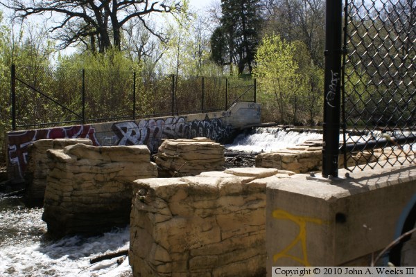
the year 1998 or 1999. I also have not figured out what the large stone
blocks are below the falls. They don't appear to be bridge remains. They
might have been part of an old dam structure.
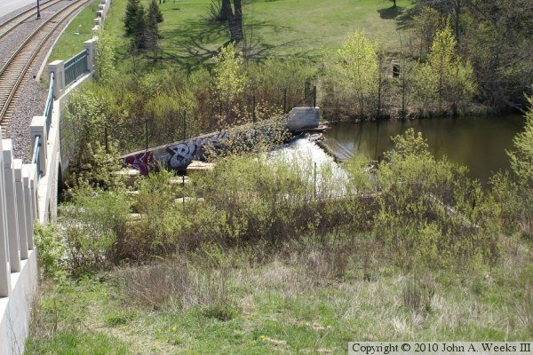
The photo above is a view of the dam looking to the south from the roof over
the tunnel that carries Hiawatha Avenue, highway MN-55, and the Hiawatha
Light Rail Transit Line.
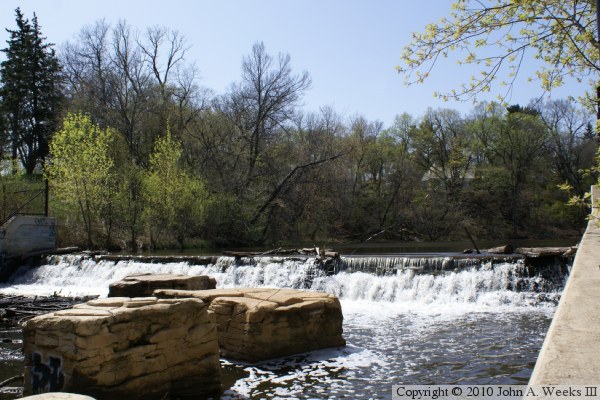
These two photos are looking upstream to the west towards the dam falls. The
vantage point is close enough to the falls that I was not able to cover the
entire scene in one wide angle view. As a result, I present two slightly
different views. The photo above shows the entire width of the falls, while
the photo below shows more of the downstream channel.
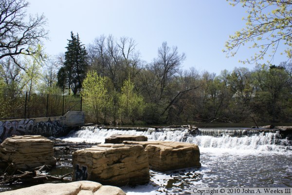
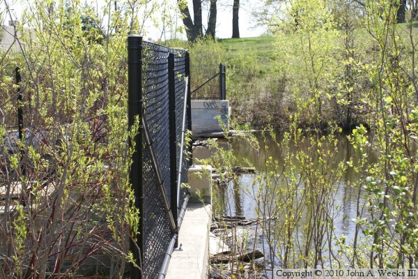
The photo above is looking downstream towards the dam. The MN-55 and LRT
bridge over the creek is just below the falls. The photo below is looking
south across the creek channel at the top of the falls.
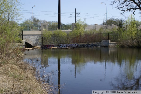
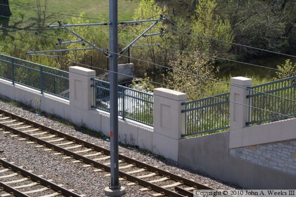
The photo above is another view looking south from the base of the falls
next to the MN-55 and LRT bridge. The photo below is a view from the roof
of the tunnel directly above the LRT railroad tracks. The falls is really
hidden from view, and few people likely know that it even exists so close
to such a busy highway and rail line.