The Minnesota River crossing at Chaska consists of a mile long highway
causeway, a 500 foot long bridge on the north end, and a smaller 250 foot
long bridge on the south end. While the main river crossing has remained
in the same location over time, the smaller backchannel bridge was built
on a new highway alignment at some point in the distant past. The old
route, which hugged the bank of the Minnesota River, is still passable
by vehicles up to the point where it crossed the river backchannel.
This old backchannel crossing consists of a causeway with a culvert. The
causeway acts like a dam during periods of high water. As the water levels
increase, the river quickly overflows the causeway. Once the water gets
deep enough to flood the causeway, the river flows down this backchannel
rather than following its normal channel. This high volume of water flow
has eroded part of the causeway and removed much of the pavement from
the old roadway.
I have not been able to determine the age of this river crossing. The
causeway is on maps going back to the 1930s. The culvert may or may not
be from that era. It is possible that older bridge was in place at this
location, and the culvert was installed later, perhaps after the highway
was relocated to the north. This area is now maintained as part of a
National Wildlife Refuge. The causeway is used as a trail for horseback
riding.
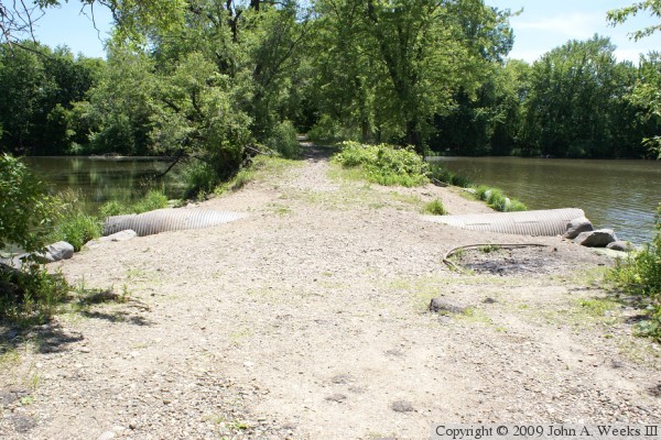
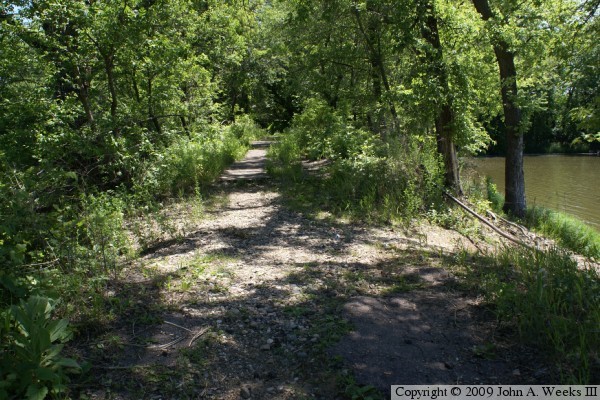
The photo above is the causeway and culvert looking east from the west
side of the river channel. The vantage point is the small parking area
in the refuge that is maintained by the Minnesota DNR.
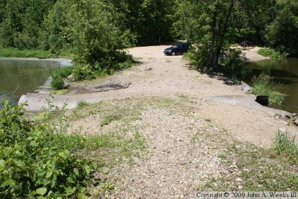
The photo above is the culvert looking west from the causeway. The photo
below is a view of the culvert from the southeast corner of the structure.
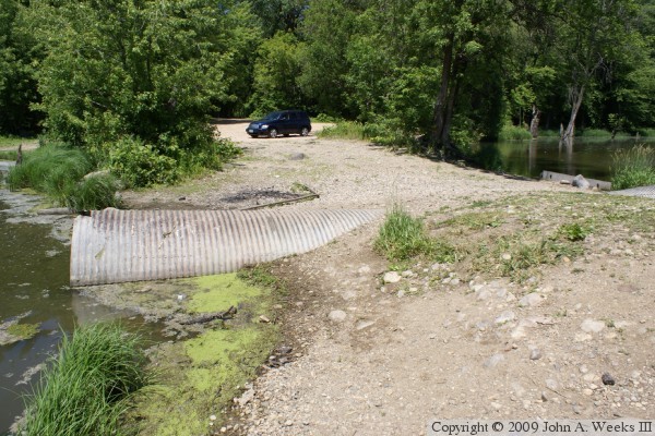
The photo above is a view of the north side of the culvert. The photo below
is a view of the south side of the culvert as seen from the west bank of the
backchannel.
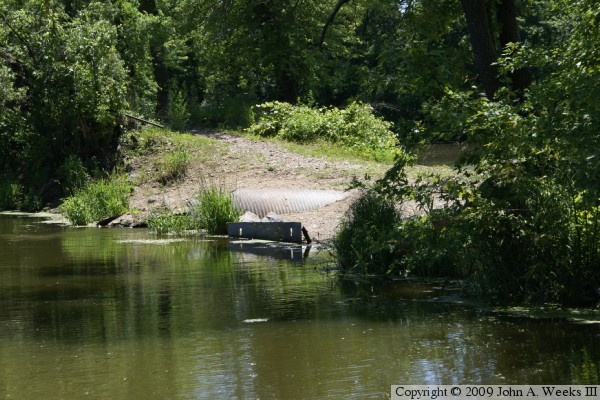
The photo above is a the abandoned causeway heading east from the culvert.
Some pavement is still in place on the roadway despite being abandoned for
decades. The photo below is looking south from the highway MN-41 Backchannel
Bridge during the autumn 2010 flood. The old causeway and culvert are
located where the line of trees crosses the water. The water is likely
at least a dozen feet above the old causeway.