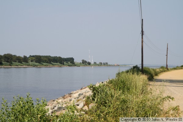
The C&D Canal is a very interesting place to explore. The canal has it all including large ships, small boats, trains, several tall bridges, a cable stayed bridge, a lift bridge, and plenty of back country roads to explore. There is also two state parks, a lock from the pre-1927 canal, a canal museum, and three waterfront towns to visit. Since the canal is only 14 miles long, and there are plenty of bridges, you can get from end to end in about an hour. The canal frontage roads provide the best vantage point. While they can be traveled with a passenger car, a SUV would probably make the trip a little more comfortable. You can access the frontage roads in a number of places, including a side road off of DE-9 at the south end of the Reedy Point Bridge and an entrance under the north end of the Saint Georges Bridge.
According to the US Army Corps of Engineers timeline, the history of the C&D Canal dates back to the mid-1600s when a mapmaker noticed that a short isthmus of land separated the Delaware River from the Chesapeake Bay, which, if navigable, would shorten the water route between Philadelphia and Baltimore by nearly 300 miles. A canal building craze swept the nation in the late 1700s, leading to a survey of possible routes. Actual construction of the canal started in 1804. That project stalled. It was reorganized in 1822, and construction started again in 1824, but with a different route that used only 4 locks rather than 14. The channel was built 66 feet wide at the waterline, 36 feet wide at the bottom, and 10 feet deep. It opened for business in 1829.
The C&D Canal was very successful in the earlier part of the 19th Century, but it began to struggle in the latter part of the 1800s as railroads became popular, and ships outgrew the canal. Canal usage declined towards the close of the 1800s. A number of proposals were developed to rebuild the canal. Many of these were for new canals rather than a rebuild of the existing C&D Canal. None of these proposals materialized. Finally, the canal was purchased by the US Government in 1919.
The US Army Corps of Engineers began to rebuild the canal as a sea level waterway with no locks. The rebuilt canal opened in 1927. The channel was 90 feet wide and 12 feet deep. The wider canal required new bridges, so the older wooden bridges were removed and new steel lift bridges were built. The east entrance of the canal was moved south, bypassing Delaware City. The old canal channel still exists as a navigable waterway, and the old Delaware City lock has been preserved.
Increasing ship sizes again became an issue for the C&D Canal. This resulted in the US Army Corps of Engineers widening the canal to 250 feet wide and 27 feet deep between 1935 and 1938. While this allowed larger ships to pass, the bridges became a serious problem because they were built for the 90 foot wide canal. In fact, bridge strikes became common, with two of the bridges being destroyed in collisions. Yet another project further widened the canal navigation channel to 450 feet wide and 35 feet deep in the 1960s and 1970s. Two high bridges were built before this project, and the remaining bridges were rebuilt as part of this canal project.
Once again, ships have increased in size to the point where the C&D Canal should be widened if it is to remain globally competitive. However, traffic to the Port of Baltimore is on the decline, resulting in the expansion project being shelved for the time being.
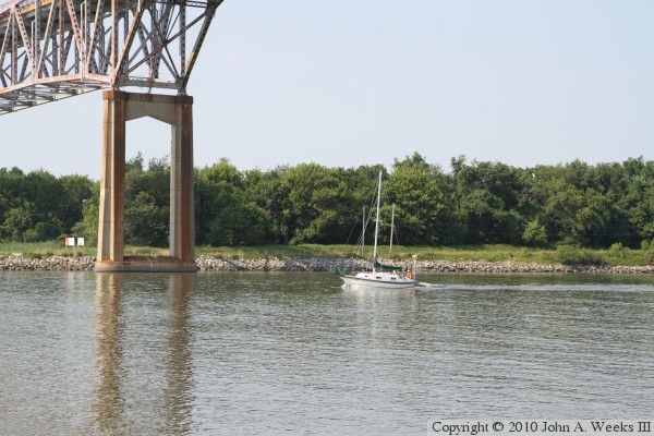
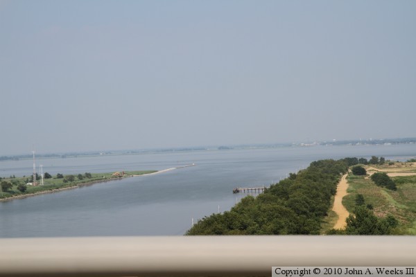
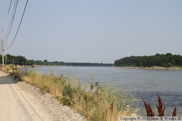
The photo above is looking east from the north bank of the C&D Canal from near the US-13 Saint Georges Bridge. This location is 4-3/4 miles west of the Delaware River end of the canal. The photo below is a small sailboat headed westbound under the Reedy Point Bridge, located one mile west of the Delaware River outlet.