The Pike Island Bridge crosses the west channel of the Minnesota River
connecting the river flats area near the visitor center to Pike Island at
Fort Snelling State Park. The west channel is currently a cut-off between
the main channel of the Minnesota River and the Mississippi River. It is
considered to be non-navigable, but jet skies and small boats can use this
waterway. Historically, this was the main channel of the river prior to
the US Army Corps of Engineers moving the main river channel to its current
location. The eastern tip of Pike Island is the confluence point of the
current main channel of the Minnesota River and the Mississippi River.
The island is named after Zebulon Pike, of Pike's Peak fame. As an Army
Lieutenant, Pike lead an expedition in 1805 to find the headwaters of the
Mississippi River. As part of the expedition, Pike purchased land in the
vicinity of Fort Snelling on behalf of the US Government to be used as a
future military post. Fort Snelling was later established in 1819 after
Pike had moved on to other adventures.
A dark chapter in Minnesota history occurred on Pike Island during the Civil
War. A Native American uprising in southern Minnesota was put down by the
military in 1862. After the war, approximately 1600 women, children, and
elderly people were forced into a concentration camp on Pike Island during the
winter of 1862 and 1863. Disease spread through the camp, with hundreds
of people dying during the winter. Later, these people were forcibly
relocated to the Dakota Terriroty. A drought caused further hardship before
the surviving Native people moved to Nebraska.
The photo above is a close view of the south face of the bridge as seen
from Pike Island.
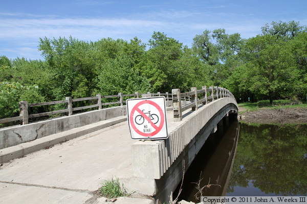
The photo above is the west end of the structure, with Pike Island being
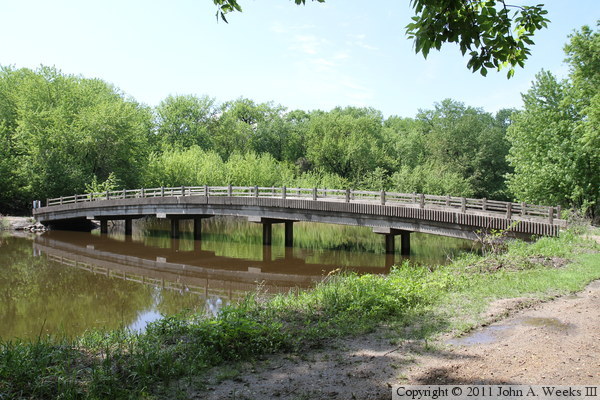
located on the far side of the river channel. The photo below is a profile
view of the south face of the bridge.
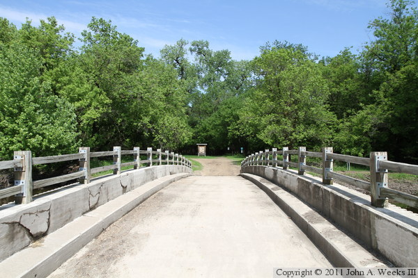
The photo above is a view looking east down the length of the bridge deck
from mid-span. The photo below is a similar view from almost the exact
same location, but taken three years later in the spring of 2011.
The photo above is looking east across the west channel of the Minnesota
River towards the west end of the Pike Island Bridge. This photo was taken
during the tail end of the spring flood of 2011. The flood water receded
from this trail only a few days before my visit in late May. The photo
below is looking east across the river channel along the south face of
the bridge. The still water reflects the bridge and scenery like a mirror.
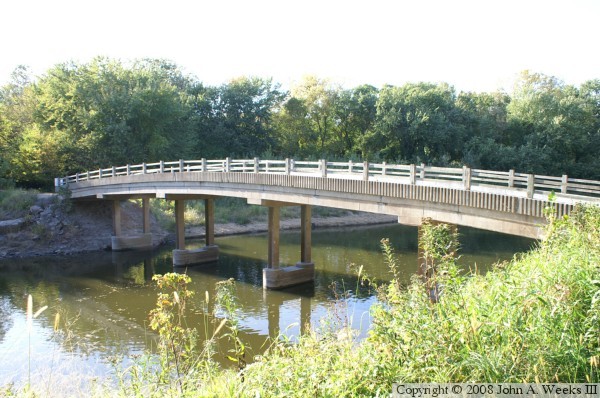
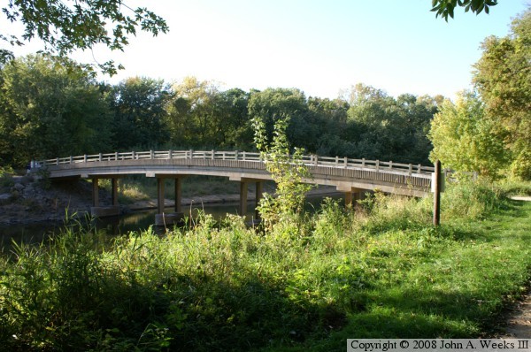
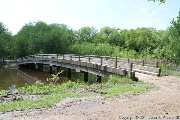
These two photos were taken from Pike Island looking towards the south face
of the bridge. The photo above is a profile view, while the photo below
was taken from near the southeast corner of the structure.
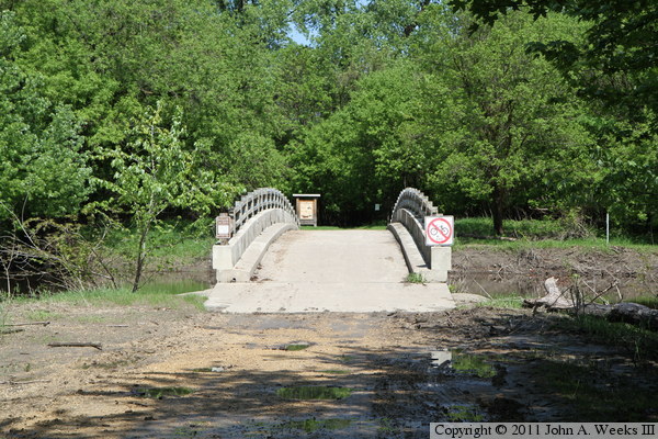
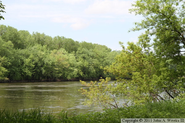
The photo above is a view looking east along the trail leading to the Pike
Island Bridge. The photo below is a view looking northeast across the
Mississippi River from the trail leading to the eastern tip of Pike Island
where the main channel of the Minnesota River flows into the mighty
Mississippi.