The first Cedar Avenue Bridge was built in 1890, and it was in operation
for 90 years until it was replaced by the current twin structures of the
Highway 77 Cedar Avenue Bridges. The river crossing consisted of two spans.
The first was the swing bridge over the main channel of the Minnesota River.
The second was a wood trestle over the back channel waters of the Minnesota
River Valley to the north of the main river channel. The trestle was replaced
in 1920 with a 5 span steel through truss bridge. That bridge, known as the
Long Meadow Bridge, still stands today.
The swing span structure was removed shortly after the new highway bridges
were completed. No pieces of the swing span are known to have survived, and
there are no structural elements or foundations existing where it was once
located. The site of the bridge is, however, well defined by the roads that
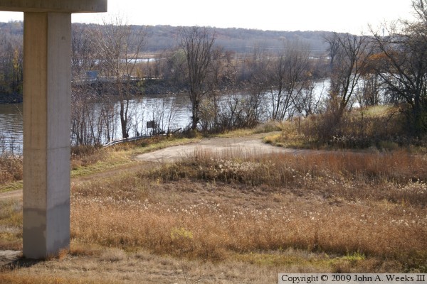
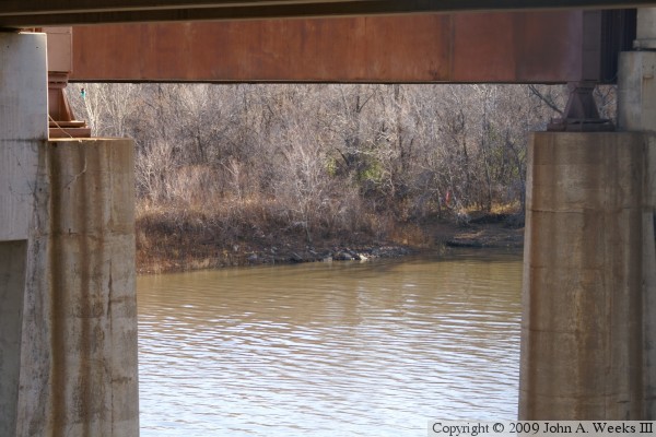
lead to the edge of the river on both sides of the main channel. This photo
series documents this site as of the fall of 2009.
Many visitors to this page will be confused about which bridge is being
discussed on this page. The Long Meadow Bridge is very commonly called the
Old Cedar Avenue Bridge, and many folks are unaware of its name or history.
Further, the Long Meadow Bridge has been a topic of discussion in the media
throughout the first decade of the 2000s as the city of Bloomington has been
trying to raise money to repair or replace it in order to reopen
the bicycle trail river crossing. A page on the Long Meadow Bridge can be
found at this link.
The photo above is the end of the road for Old Cedar Avenue. The north
abutment for the swing bridge once stood just beyond the guardrail. I doubt
that this is pavement from the time when the swing bridge was still in use. A
historical society photo of the swing bridge suggests that the abutment was 15
or 20 feet above ground level. In addition, the pavement seems to be in too
good of shape and does not show any evidence of a yellow center line, leading
me to believe that this is an overlay from after the swing bridge was removed.
The photo above is the road leading to the north end of the Old Cedar Avenue
Bridge. The bridge abutment was located just beyond the guard rail near the
river bank. The photo below is looking north from this same location. This
road once carried Cedar Avenue between the old swing bridge and the Long
Meadow Bridge, located 2,000 feet to the north.
The photo above is the end of the road where the bridge abutment was once
located. The area is now covered with brush, trees, and driftwood. The
photo below is an aerial view looking southwest from the Cedar Avenue
Bicycle Bridge. The guard rail marks the location where the north end of
the swing bridge once stood.
The photo below is looking across the main river channel to the location where
the south bridge abutment once stood. Much of the roadway on the south side
of the river is still intact, however the list 140 feet near the river is
overgrown. The photo below is an interpretative sign located at the trailhead
on the north end of the Long Meadow Bridge.


