Folks from Memphis are so proud of living in the Big-M that they built their
newest bridge in the shape of a giant letter M. Nothing screams Memphis!
quite the way the Hernando De Soto bridge does. The result is one of the
most interesting spans to cross the mighty river. From a distance, it look
thin and frail, yet up close, you realize what a huge monster of a structure
it is. The bridge was lit a few years back, so Memphis has a night time light
show attraction as well as a signature bridge.
An interesting feature of the river is that both channels under the main
bridge spans are open for river navigation. While the east channel is part
of the normal 9 foot navigation channel, the west channel can be used during
periods of high water.
The Hernando De Soto bridge was closed for 9 hours on August 27, 2007,
for an inspection after a sag was noticed in the roadway. A construction
project had been underway to do a seismic retrofit to help the bridge
withstand an earthquake from the nearby New Madrid Fault. Workers returned
to the site that morning to find that a pier on the west side of the bridge
settled by 4 inches. Fortunately, this bridge is built with a redundant
design, so it did not collapse. Inspectors found that the bridge deck was
still adequately supported by other piers, so they reopened the structure.
The bridge is named after Hernando de Soto, a Spanish explorer who lived
from 1496 to 1542. De Soto lead an expedition to the land that would
become the southeastern region of the United States. His party became
the first Europeans to see the Mississippi River on May 8, 1541. It is
unknown if De Soto was the first European to see the muddy Mississippi,
but someone in his party certainly had that honor.
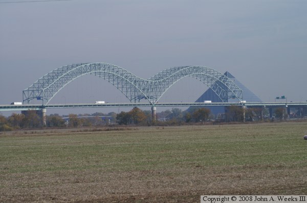
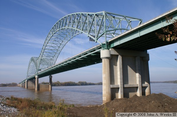
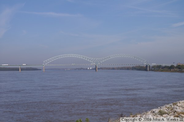
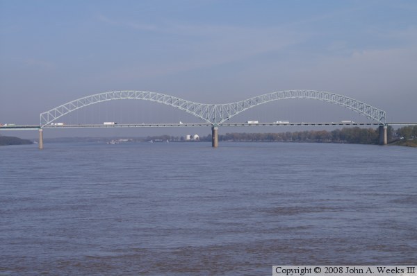
The photo above is a view of the main truss spans from a farm field located
southwest of the bridge on the Arkansas side of the Mississippi River. The
photo below is a view of the south face of the river spans as seen from
Mud Island.
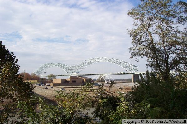
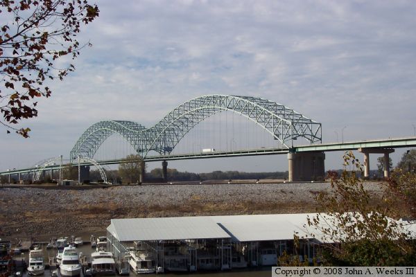
These two photos are views from the Memphis side of the river. The
photo above is looking northwest towards the bridge from the Visitor
Center near the monorail. The photo below is a similar view from a
parking lot off of Fulton Street just north of the Visitor Center.
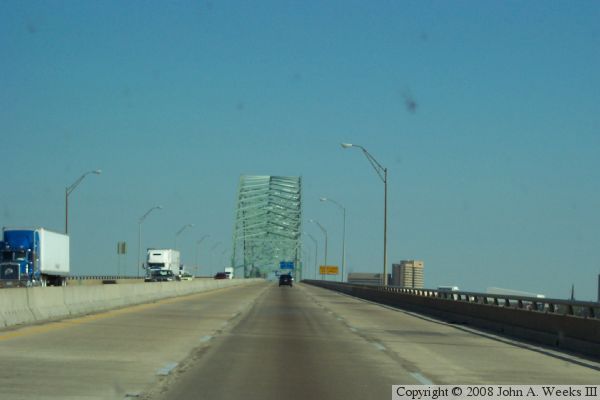
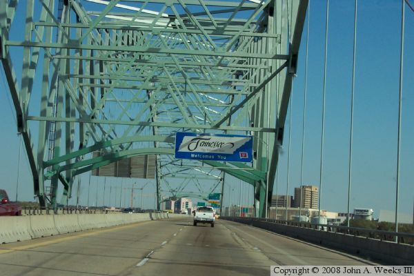
These two photos show a typical river crossing heading eastbound into
Memphis. The photo below is crossing the concrete girder approach spans
on the Arkansas side of the river. The photo above is passing through
the truss span. The Tennessee state line sign is hung near the midpoint
of the truss.
These two photos are views of the bridge as seen from Tom Lee Park,
located on the Memphis riverfront. The photo above is a profile view
of the river spans. The photo below is a close view of the truss spans.
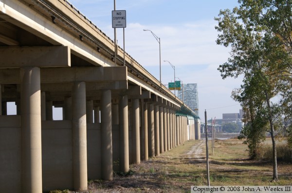
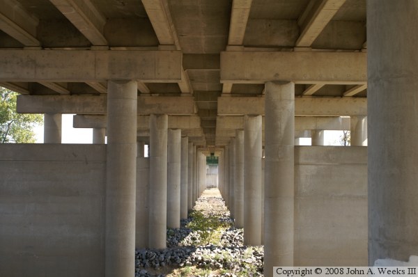
These two photos are views from the west end of the bridge on the Arkansas
side of the river. The photo above is looking down the south face of
the bridge. The photo below is a view looking east between the two sets
of pillars that support the concrete girder spans.