There has been a park located at Gray's Bay Dam for many years. It once
featured a boat landing. However, it was often tricky to launch and land
boats only feet from the dam, and there was very little parking available.
As a result, the City of Minnetonka decided to rebuild the Minnehaha Creek
Headwaters Park in the mid-2000s. A shoreline stabilization project was
completed in 2004, which cleaned up the lakeshore and installed a sheet pile
wall along the dam embankment. The dam was upgraded in 2005 with the addition
of a large observation deck. Next, a regional trail bridge and catwalk was
built across the downstream side of the dam and bay in 2006. The rebuilt park
had its grand opening in 2007.
The Headwaters park Boardwalk meanders for about 900 feet across and along
the north side of Gray's Bay just downstream of the Headwaters Control
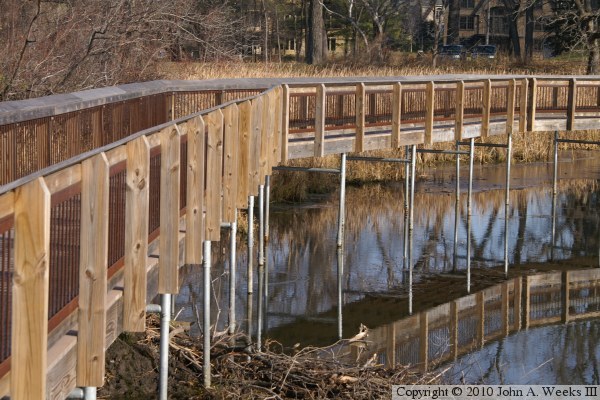
Structure dam. The wooden boardwalk is supported by pipes that are sunk
into the bottom of the lake. Much of the boardwalk construction was
completed in the winter when the ground was frozen in order that it could
safely support the construction equipment. The boardwalk features an
observation deck that has great views of both Lake Minnetonka and the
headwaters of the Minnehaha Creek.
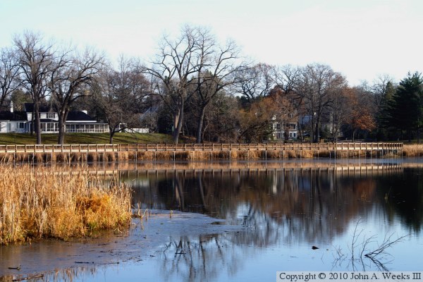
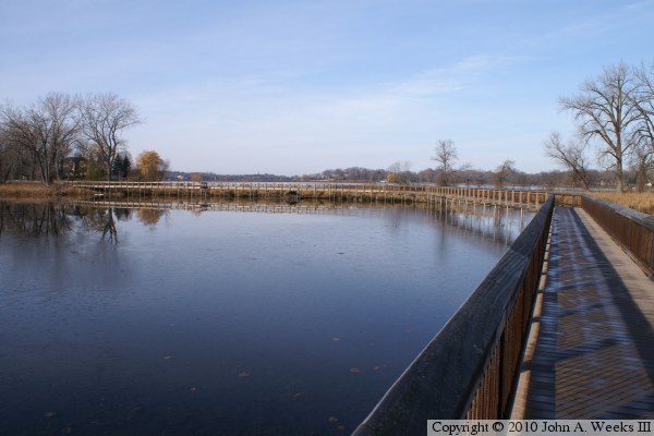
The photo above is looking north from the Headwaters Control Structure
observation deck on a bright sunny autumn morning.
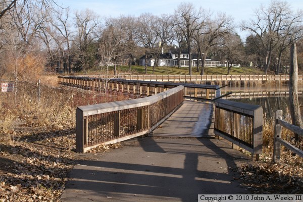
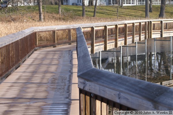
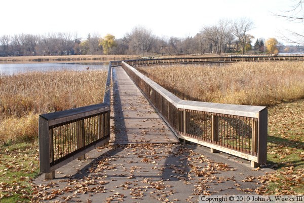
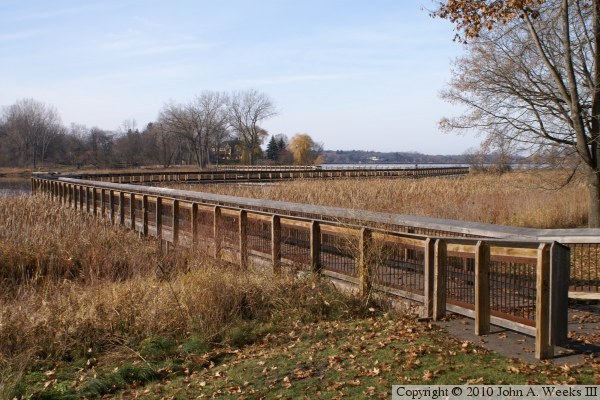
The photo above is the south end of the Headwaters Park Boardwalk. The
walkway carries the trail off of the Headwaters Control Structure dam
embankment and over the water to the north shore of the bay. The
photo below is looking north from near the south end of the walkway.
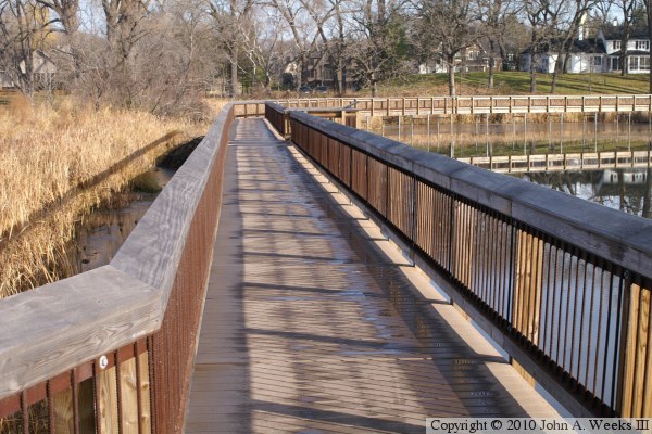
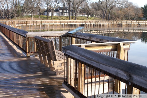
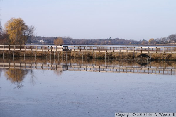
The photo above is the observation deck that is attached to the downstream
side of the boardwalk. The photo below is the bridge structure as the
boardwalk turns to the east.
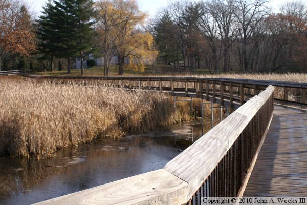
The photo above is the bridge deck as the boardwalk makes its turn to the
east. The photo below is a view looking back towards this curve. The
dam embankment is behind the bridge in the distance, with Gray's Bay being
behind the dam.
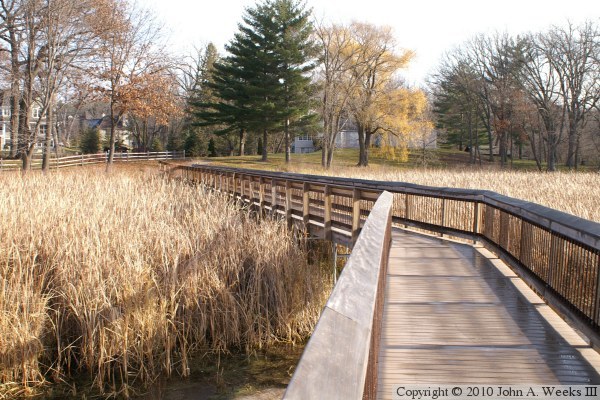
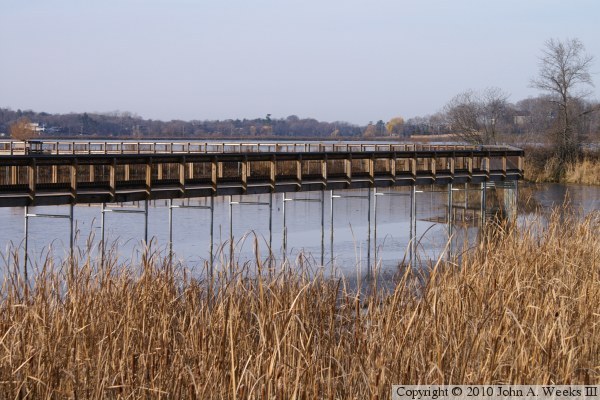
The photo above is a view of the bridge structure as the boardwalk curves
back to the north near the north end of the bay. The photo below is the
final straight segment leading to the north end of the bridge as it
passes over a marshy area.
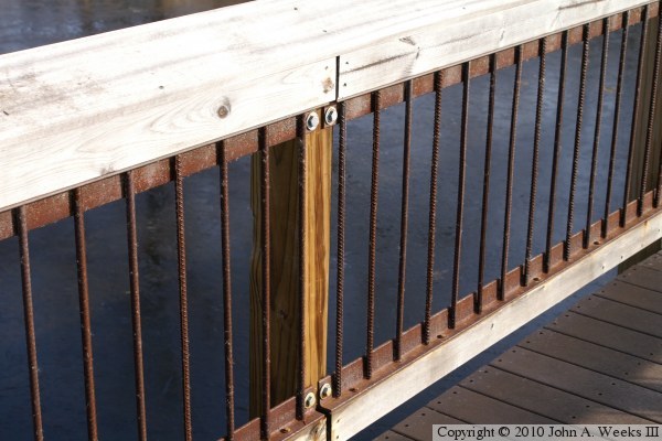
The photo above is a detail view of the bridge railing. It is difficult to
imagine how many short pieces of rebar had to be cut and welded to make the
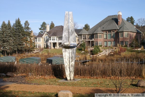
railing for this bridge. The photo below is a sculpture that sits on a
private lot at the north end of the boardwalk.
The photo above is a view looking south down the bridge deck at the north
end of the boardwalk. The photo below is a view looking southwest that
shows the entire bridge.
The photo above is a view of the bridge structure as it heads west between
the two curves in its path. The photo below is a view of the bridge
structure as it makes its curve from heading west to heading south.
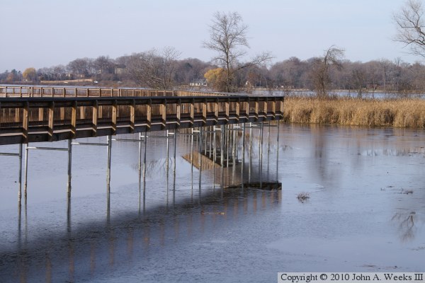
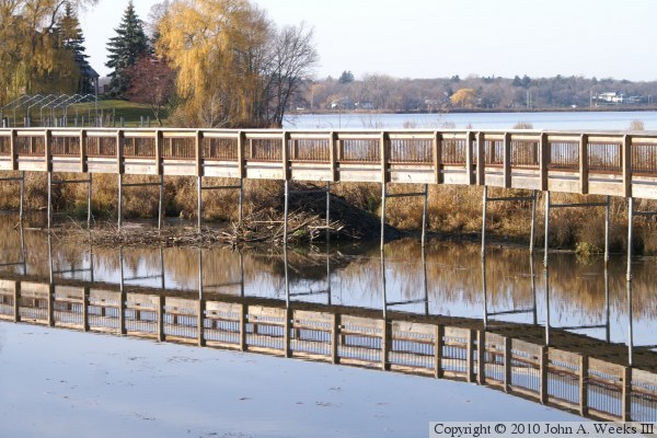
The photo below is a view of the straight segments that parallel the dam
embankment. Gray's Bay is in the background behind the dam. The photo
below is a closer view of the beaver lodge that is built under the bridge.
Note the fantastic reflections in the water.