The Hopkins Crossroad is a relatively old route through the western suburbs
of the Twin Cities area. While it is 4-lane today, it was built as a
2-lane highway and upgraded over time. The bridge over the BNSF railroad
tracks just north of the Minnehaha Creek was too narrow to comfortably
carry 4 lanes of traffic. Then, for goofy reason, this new highway bridge
over the Minnehaha Creek was built in 1987 with no sidewalks. This bridge
is a very routine single-span concrete girder structure. It is set relatively
high above the creek due to the bridge located 300 feet to the north that
needs to pass over the BNSF railroad tracks. The result is that the banks
along the creek are steeply angled towards the water.
In 2001, Hennepin County completed a study on the gaps in the bicycle trail
system. The narrow bridge over the railroad tracks and the lack of a sidewalk
over the creek were identified as part of the 8th ranked gap in the trails.
Money was secured to replace the highway bridge over the BNSF tracks in the
mid-2000s, and that bridge was replaced during the summer of 2007. The new
bridge did include a wide walkway for both local sidewalk traffic as well as
bicycle traffic as part of the regional trail system. It appears that a
trail bridge was built over the Minnehaha Creek parallel to the Hopkins
Crossroad Bridge at the same time. The trail bridge does not appear on 2006
aerial photos, but does show up on photos taken in 2008.
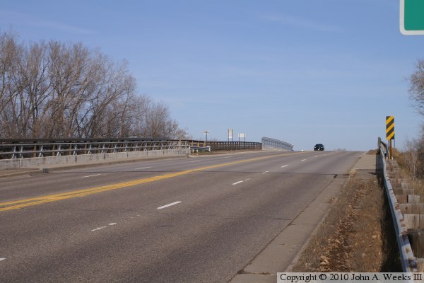
The photo above is looking north down the length of the bridge deck from
near the southeast corner of the structure.
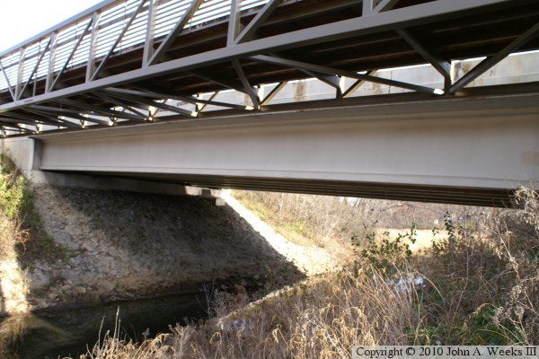
The photo above is the upriver west face of the Hopkins Crossroad Bridge.
The nearby trail bridge is in the foreground. The steep incline leading
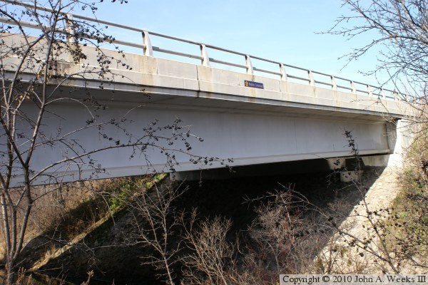
down to the water is visible in this view. The photo below is the downstream
east face of the bridge.
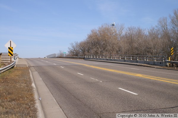
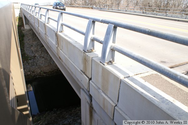
The photo above is looking north down the length of the bridge deck from
the southwest corner of the structure. Note the lack of sidewalks. The
trail bridge is located off of the left edge of this photo. The photo
below is looking along the west face of the highway bridge between the
highway bridge and the trail bridge.