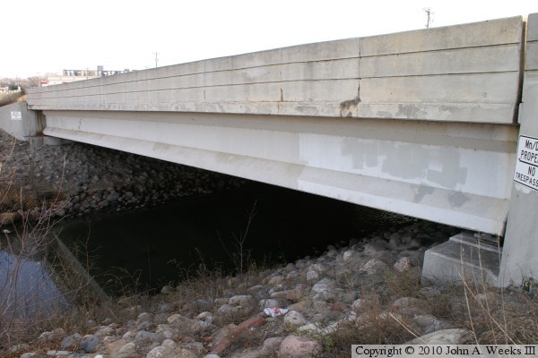
It is interesting to note that the National Bridge Inventory lists this structure as being 72 feet wide, but diagrams and aerial photo measurements suggest that it is 105 feet wide. NBI numbers are often curb to curb measurements of the traffic lanes, but in this case, there are no curbs on the bridge deck. It turns out that the 72 foot number is the width between the outside edges of the outermost lanes. 72 feet is very wide for a four lane highway. In this case, 72 feet includes a very wide center median. Despite being very wide, the 72 foot width is still 33 feet short of the 105 foot deck width. As it happens, the bridge has two full width shoulders outside of the traffic lanes. That is very wide considering that the bridge does not have sidewalks or a bicycle lane.
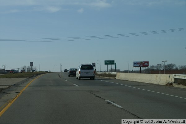
One of the photos below shows part of a Saint Louis Park city limits sign. When passing this sign, one might be the impression that they are crossing a north and south boundary, or that the creek is the boundary between Hopkins and Saint Louis Park. In reality, the border between the two cities runs roughly along highway MN-7. The highway has a slight southwest to northeast slant, while the city line runs due east and west. As a result, the city line is north of the highway west of the creek, and south of the highway east of the creek. The city line crosses MN-7 must east of the creek, with Saint Louis Park being north of the line, and Hopkins being south of the line.
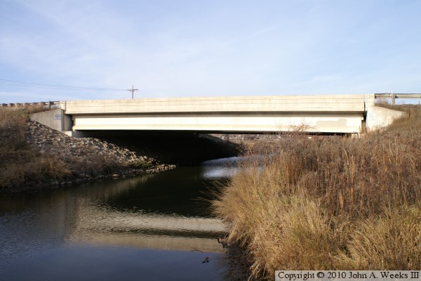
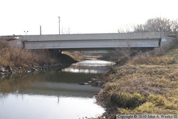
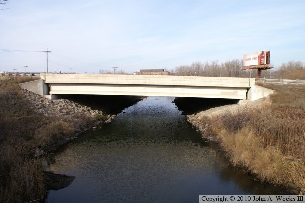
The photo above is looking north towards the downstream face of the MN-7 bridge over the Minnehaha Creek in Hopkins, Minnesota. This view is from the deck of the nearby Cambridge Street Bridge The photo below is a view looking east along the upstream north face of the bridge from the northwest corner of the structure.