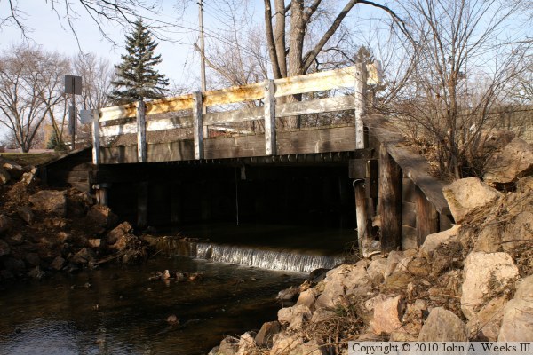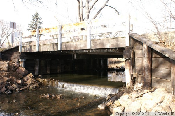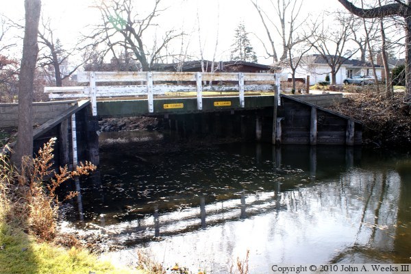
I have found two names in use for this bridge. The through street is West 34th Street. Just east of the bridge, West 34th Street turns into Aquila Lane, and West 34th Street branches off of Aquila Lane about a block east of the Minnehaha Creek. On a map, it looks like West 34th is continuous, and Aquila Lane starts at the branch-off point. However, the house numbers suggest that Aquila Lane continues west to the bridge, and West 34th Street has a gap. What this street trivia means is that it isn't clear from street markings or maps if this bridge is on Aquila Lane, West 34th Street, or half and half. The National Bridge Inventory lists it as being on West 34th Street, however, I commonly see Aquila Lane used for the bridge name. Since this is my story, I am calling it the Aquila Lane Bridge.
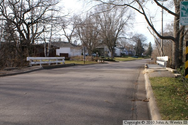
The area west of the creek is essentially an island in that there is only one bridge across the creek, and the west and south sides are blocked by highways. That makes for a very quiet neighborhood. In fact, part of the Saint Louis Park neighborhood development plan is visible in the photos below in the form of neighborhood boundary marker signs. There is a sign on the west side of the bridge stating that you are entering the Cobblestone Neighborhood when traveling eastbound, while a similar sign on the east side of the bridge indicates that you are entering the Minnehaha Neighborhood when traveling westbound.
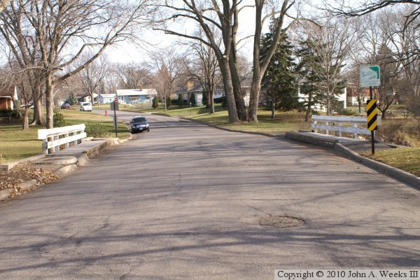
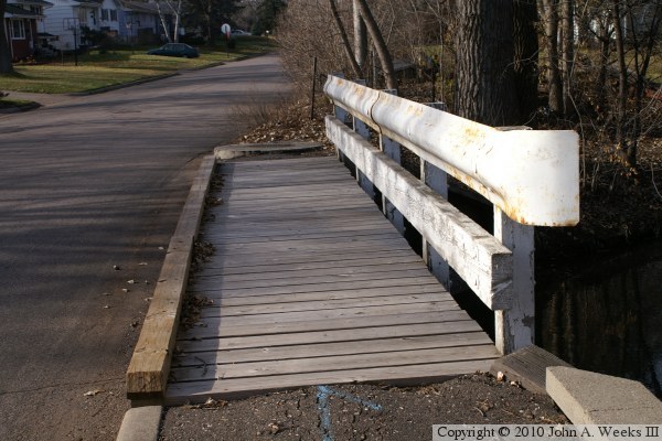
The photo above is looking west down the length of the Aquila Lane Bridge deck from the south side of the street. The creek is flowing downstream to the left in this photo.