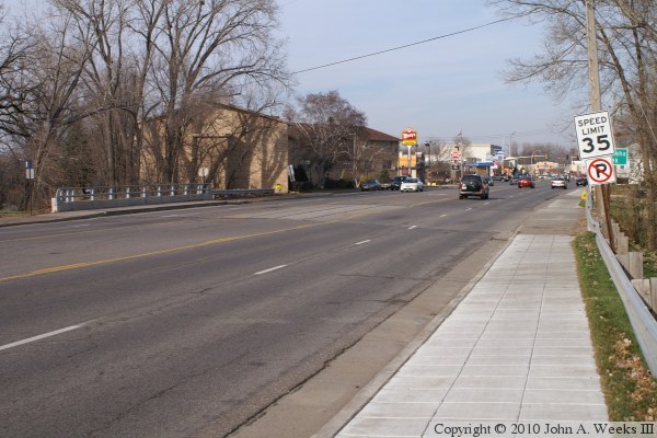
Blake Road starts at highway MN-7 in Hopkins and runs south through Edina.
The northern section of the road between MN-7 and Excelsior Boulevard is
a relatively busy street, and the bridge over the Minnehaha Creek is one of
the busiest street crossings over the creek. Typical traffic volumes on
the Blake Road Bridge are 18,300 vehicles per day.
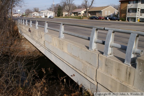
The Blake Road Bridge is a fairly routine prestressed concrete girder
bridge. This is a very common bridge style in Minnesota, and this technology
has proven to be very reliable. The interesting feature of this particular
bridge is that it is built at an angle. The Minnehaha Creek crosses Blake
Road at a 30-degree angle. The bridge abutments are built parallel to the
creek channel. The result is that the bridge deck is shaped like a diamond
or a rhombus.
Blake Road represents a transition point for the creek on its path downhill
towards the Mississippi River. Upstream of this location, the creek is less
developed and relatively undisturbed in modern times. Starting at Blake Road,
the creek enters a mile section that is heavily industrialized. It emerges
into an urban area, which it travels through for about 6 miles, and then
enters the 5 mile long Minnehaha Parkway system.
The photo above is looking north down the length of the bridge deck. Highway
MN-7 is located one-quarter mile to the north, with Knollwood Mall visible in
the distance on the far side of the highway.
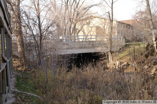
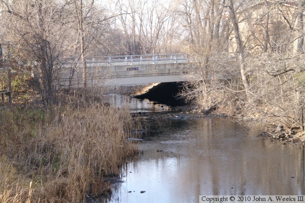
These two photos are looking upstream to the northwest at the east face of
the Blake Road Bridge. The photo above is a view from behind an office
building located at the corner of Blake Road and Lake Street. The photo
below is a view from the deck of the nearby Lake Street Bridge.
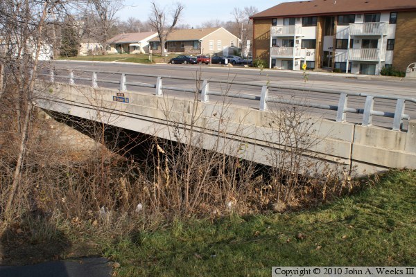
These two photos are views of the upstream west side of the Blake Road
Bridge as seen from the south bank of the Minnehaha Creek. The photo
above is taken from a few feet upstream of the bridge, while the photo
below is from the southwest corner of the structure. The signs on the
side of the bridge are street name signs for canoeists.
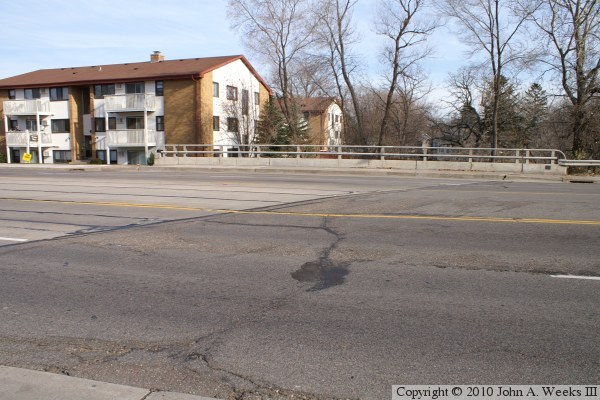
The photo above is looking east across Blake Road at the south end of the
bridge. Since the Minnehaha Creek crosses the road at an angle, the bridge is
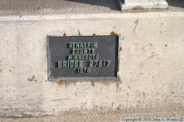
set an a 30-degree diagonal to the road. The photo below is the bridge plate.