Nicollet County highway 37 crosses the Minnesota River at the south end of New
Ulm. This steel girder bridge has a very graceful hump shape. It was built
that way because the land is relatively flat in the river bottom area, but
engineers wanted to keep the bridge from being flooded out during all but the
highest floods. At the same time, the roads on either side of the structure
were not raised as high to prevent the highway from acting like a large
earthen dam during periods of high water. The net result is a bridge that
stays high and dry, but the approach roads frequently flood. The Nicollet
County Board of Supervisors is looking at options for raising the approach
roads on either side of the bridge, but a formal project has not been funded.
This 1978 bridge appears to have replaced an older bridge that was located
up stream about one-half mile. That bridge would have landed near 12th
Street. The approach road on the north side of the river appears to still
exist, while roadway on the south side of the river is in an area that has
been redeveloped with new housing.
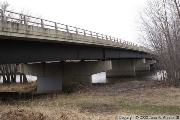
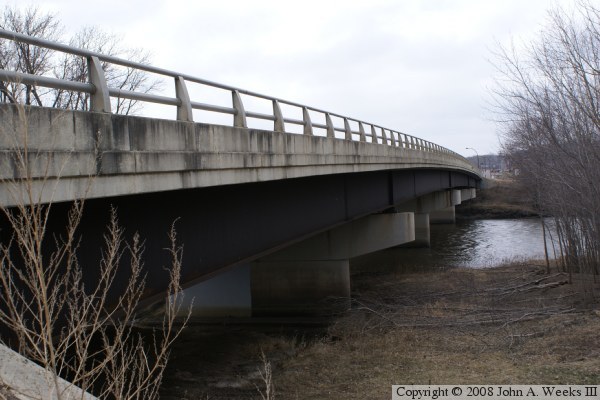
The two photos above and below are views from the southeast corner of the
structure looking north across the Minnesota River along the downriver east
face of the bridge. The photo above is a view from the river flats, while the
photo below is a view from just below the bridge deck.
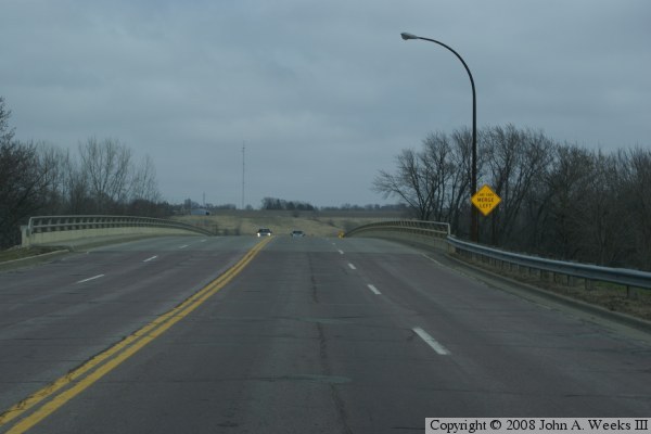
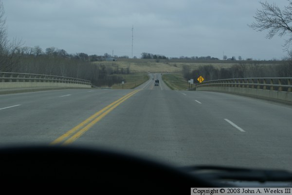
These two photos show a typical crossing of the highway 37 bridge in New
Ulm heading northbound towards highway US-14. The photo above is approaching
the south end of the bridge. The photo above is a view from mid-span at the
top of the hump in the bridge deck. Highway US-14 is at the T-intersection
visible in the distance.