The Beussmann Bridge crosses the Minnesota River connecting Brown and Nicollet
counties just north of New Ulm. As of 2008, this steel girder bridge is 20
years old. It still looks almost new despite surviving several large floods
and the harsh Minnesota winters.
Bridges of this length are generally built using prestressed concrete beams
rather than steel. The two inner spans have a much larger steel girder than
the outer spans. This results in very hefty piers in the middle, and lighter
piers towards the end of the bridge. The result is four different styles of
piers. The center pier has four concrete columns connected by a concrete web.
The piers at either end of the main steel span have two columns joined by a
web, but also feature a large cap on top of the pier. The next set of piers
moving outward are a set of steel posts connected by a web of concrete. The
final set of piers moving outward are little more than thin concrete walls.
Each pier by itself would be unusual, but to have all these different pier
styles on one bridge is very unique.
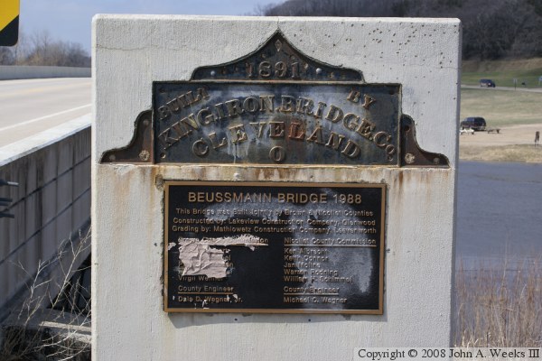
The previous bridge at this location was built in 1891. It was a single
lane truss bridge located about 100 feet downstream of the current bridge.
The photo above is a view looking north across the Minnesota River along the
west face of the bridge. This view shows the two sizes of bridge
beams and the different pier styles.
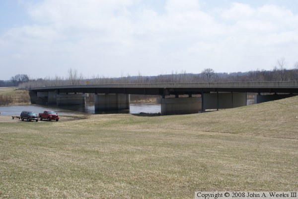
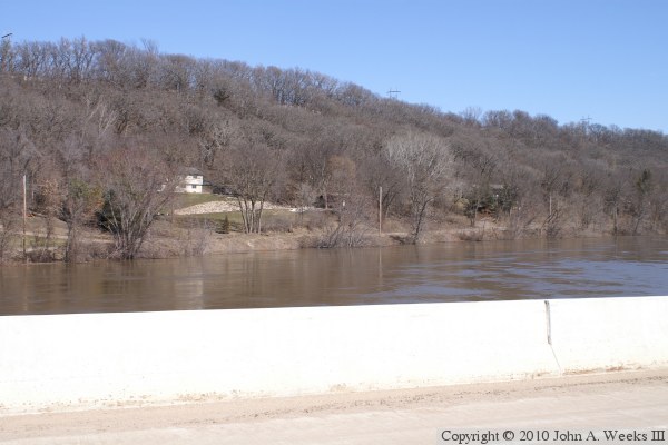
The photo above is looking southwest towards the downriver east face of the
Beussmann Bridge from the public water access park located on the north
riverbank. The photo below is a view crossing the bridge traveling
northbound.
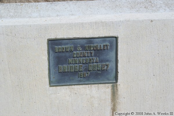
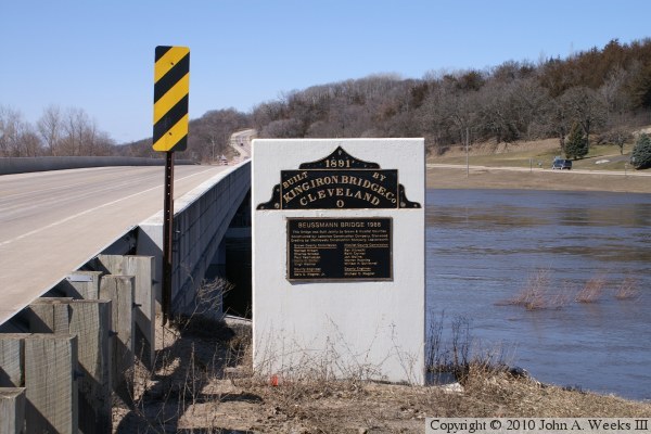
The photo above is the bridge plate for the new bridge. The photo below is
a monument that includes the bridge plate from the old bridge along with a
dedication plaque for the new structure. Unfortunately, this monument has
been vandalized with spray paint and plastic body putty.
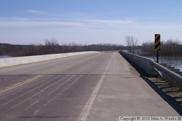
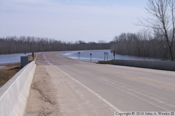
These two photos are looking southeast towards the city of New Ulm during
the flood of 2010. The photo above is looking down the length of the bridge
deck, which has been closed to traffic. The photo below is the causeway
running across the river flats. It is flooded just beyond the curve.
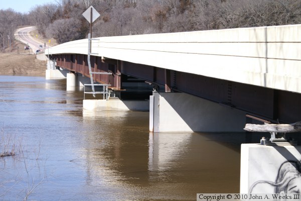
These are two additional photos from the flood of 2010. The photo above
is the upriver side of the bridge looking to the northwest. Compare the
water levels in this photo to the similar photo above. The photo below
is looking westbound down the length of the bridge deck. Note the barricades
blocking the bridge at the far end of the structure.
The photo above is the monument at the east end of the bridge. The bridge
plates have been restored since my previous visit in 2008. The photo below
is looking north across the Minnesota River from the middle of the bridge.