This Minnesota River bridge near the small town of Franklin is a very
typical 1950s era river bridge. It features steel girders and a
concrete deck. The guard rails are the older obsolete style that have
openings and no sloping face. The bridge is so lightly used, however,
that it is in great shape, and traffic demands do not warrant an upgrade.
Despite such low traffic volumes, there has historically been a bridge
at this location for over 100 years. The MN State Historical Society
has a photo of a steel through truss bridge at this location dated in
the year 1900. In the case of these rural bridges, they are not as
much justified by traffic volumes, but rather, by making agriculture
and commerce more efficient.
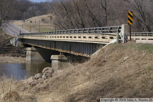
The photo above is the west face of the highway 5 and highway 11 bridge as
seen from the river flats on near the southwest corner of the structure.
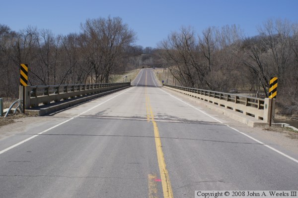
The photo below is looking north down the length of the bridge deck towards
Renville County from the center of Redwood County highway 11. Franklin is
located at the top of the bluffs one half mile north of the Minnesota River.
The photo above is looking north across the Minnesota River along the upriver
west face of the highway 5 and highway 11 bridge. Note the pipe attached to
the side of the concrete guard rail. This pipe carries communications cables.
Note that the brackets that support this conduit have broken in several
locations allowing the conduit to sag. In addition, the lower pipe of the
metal guard rail has been used to carry cables. The first section of that
pipe at each end of the bridge has been removed, and a conduit connects to
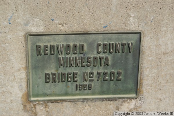
that pipe to carry the cables underground. The photo below is the bridge plate.
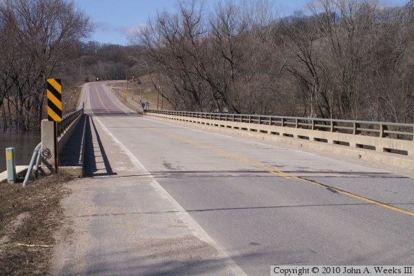
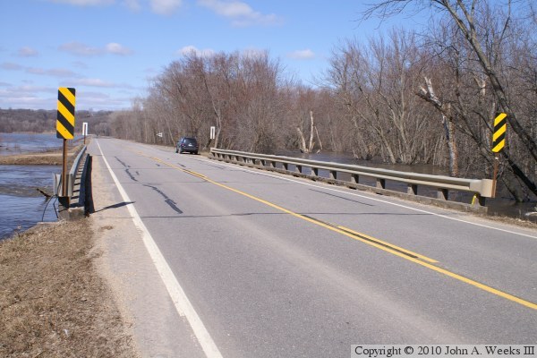
These two photos are from the spring flood of 2010. The photo above
is looking north down the length of the bridge deck. The photo below
is a view of the upriver west face of the bridge. Note that the water
is up to the top of the piers.
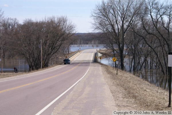
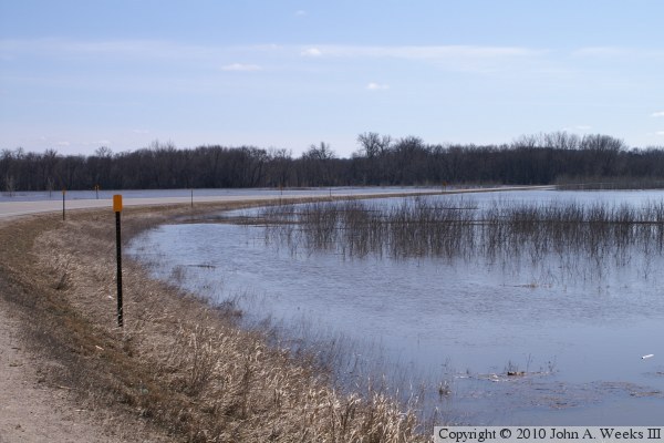
These two photos are views looking southbound during the spring flood of
2010. The photo above is looking downhill towards the main river span
bridge. The photo below is Redwood County highway 11 as it crosses the
river flats south of the main river channel.
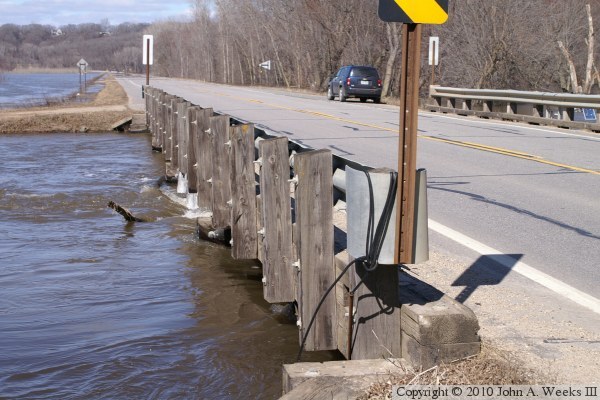
These two photos are views of the Wabasha Creek bridge on Redwood County
highway 11 located just south of the County 5 and County 11 bridge over
the Minnesota River. The creek flows into the river. Due to the high
water, the creek is serving as a secondary channel for the river. The
photo above is looking north down the length of the bridge deck. The
photo below is the upriver west side of the structure.
These two photos are additional views of the bridge over Wabasha Creek.
The photo above is another view of the water hitting the upriver west side
of the structure. Despite the blue skies on this sunny day, the water must
be very cold if ice is forming on the side of the bridge. The photo below
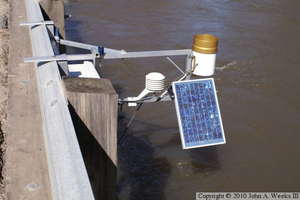
is a solar powered weather station attached to the downriver side of the bridge.