The Islands Of Peace Regional Park is located on the east side of the
Mississippi River in Fridley, Minnesota. To find the park, head north
from Interstate highway I-694 on Country Highway 1, also known as East
River Parkway, and turn left on Island Park Drive. The park is open to
the public, and there is no admission or parking fees. It is easily
accessible from the Northstar train via the Fridley station.
The park consists of three islands in the Mississippi River. Chase Island
features a number of walking trails, benches, and a beach. This island
is connected to the mainland via a pedestrian bridge. There is also a
causeway with a culvert for maintenance vehicles. The remaining two islands,
Gil Hodges Island, named after the famous baseball player, and Durnham Island,
named after an 1870s owner, are accessible only via the water.
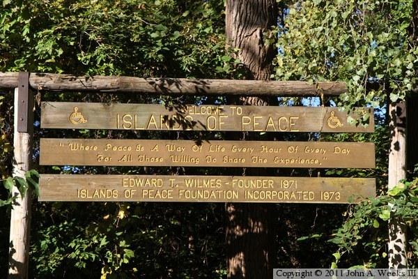
The park was founded by Edward T. Wilmes in 1971. He was a veteran who worked
tirelessly to raise funds to establish the park. He took a lease on the
islands, then established a park foundation in 1973 to own and operate the
park. An accidental drowning at the park in the mid-1970s made it impossible
for the foundation to obtain insurance. As a result, Anoka County took
ownership of the park. Today, the Islands Of Peace Foundation maintains a
library and visitor center while the Anoka County Parks and Recreation
Department maintains the park.
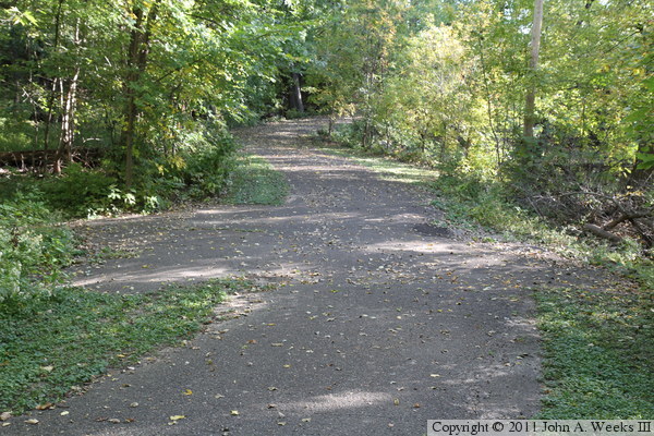
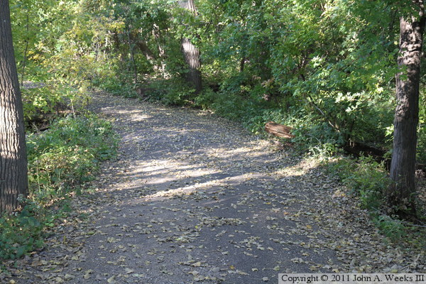
The photo above is the sign at the head of the trail leading to Chase Island.
The trail system is ADA accessible, however, be aware that the grade leading
down to the bridge to Chase Island is long and has several switchbacks.
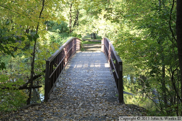
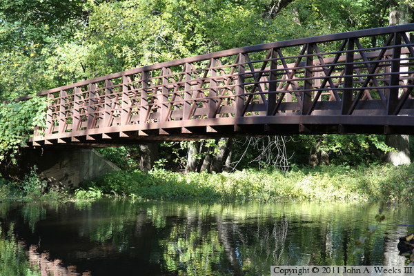
These two photos are looking down the length of the deck of the bridge
leading to Chase Island. The photo above is looking west, with the island
on the far end of the bridge. The photo below is looking east, with the
east bank of the Mississippi River on the far end of the bridge. I have
not determined the specific age of this bridge. It appears that a bridge
has existed here since the 1970s, but it appears that this bridge may have
been installed in the fall of 2003 when the park was refurbished.
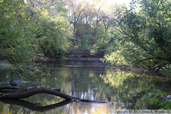
The photo above is looking south down the center of the river channel between
the mainland and Chase Island. While the bridge is in the center of the
photo, it is a little hard to see given that this photo is looking directly
into the bright mid-morning sun. The photo below is sneaking a peak between
two trees at the downstream south face of the bridge.
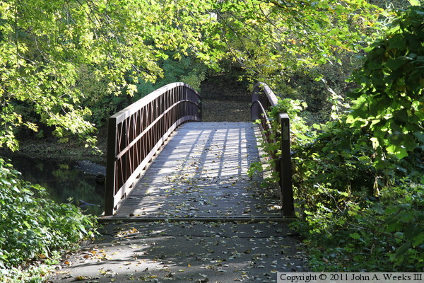
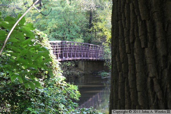
These two photos are views of the downstream south face of the bridge as seen
from the east bank of the Mississippi River. The bridge was half in a
shadow, and half in the bright morning sun, so the east end is underexposed,
and the west end is overexposed. The photo above is a close view of the
far end of the span, while the photo below is a wider view of the entire
bridge span.
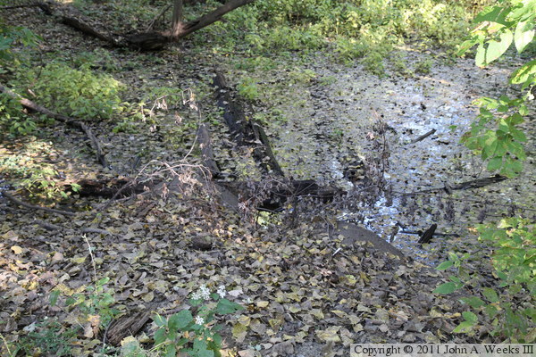
The north end of the channel between the east riverbank and Chase Island
is filled in by a causeway to allow maintenance vehicles onto the island.
The photo above is a spot where high water is allowed to flow across the
roadway. The photo below is a location where there are culverts allowing
water to pass under the roadway. The culverts are well hidden in this
view.
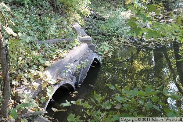
These two photos are the ends of the culverts. The photo above is the
upstream intake, while the photo below is the downstream exit for the
water flow.