This crossing was once MN-101. A new alignment was built for MN-101
just downstream on the south side of Elk River, where first one bridge
was built, and later a 2nd span was added. The old MN-101 was turned
back to the local counties and given county highway number 42. The
official designation of CSAH-42 stands for County State-Aid Highway.
A CSAH highway is an upper tier county highway that is supported with
state highway money, and is normally maintained close to the same
level as a state highway.
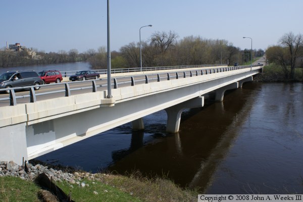
The photo above was taken in the spring of 2008 from an observation deck that
was recently installed as part of a project to build a mixed-use building
consisting of ground level retail space, professional offices, and condos on
the upper level. This style of building is becoming increasingly popular
across the metro area where former stand alone cities are now suburbs,
and they want to create a new downtown style area as a regional anchor.
Incorporating the observation deck was a very small part of the project,
but it was a stroke of genius in reconnecting people with the river in
an area that was otherwise blocked off.
The building in the background on the far left of the photo above is
the Elk River Station, a powerplant owned by Great River Energy. This
plant was built in 1950 as a coal and oil fired generator. It was
converted to nuclear in 1963, becoming one of the first operating
commercial nuclear powerplants in the nation. The nuclear reactor
operated from 1963 to 1968, when the plant was converted back to
coal and oil. The powerplant was converted again in 1989, this time
to run on RDF, a term used for fuel derived from solid waste refuse.
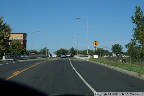
These photos are two views from late in 2008. The local construction
projects are finished, and CSAH-42 is freshly paved. The photo above
is just entering the bridge headed northbound, while the photo below
is a view from halfway across the bridge as we pull up to the stop sign
at the north end of the structure.
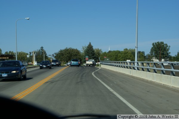
The photo above is a view of the CSAH-42 bridge looking southbound
from the T-intersection at the north end of the bridge. The street
is being rebuilt, so traffic is using a temporary lift of blacktop.
A mixed-use downtown building is being built to the right of the
bridge. As a result, that side of the bridge is fenced off, as well
as the river for two blocks heading north. When competed, there will
be an observation deck just to the right of the blue highway-42 sign.
That view is shown in the photo at the very top of this page.
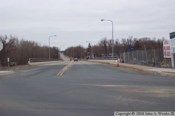
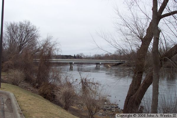
The photo below is view from the fall of 2005 from the east bank
of the river, looking downriver to the east towards the bridge.
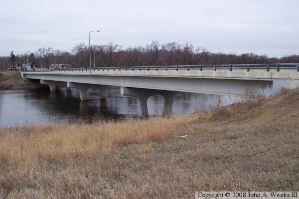
These two photos are two more views of the bridge from the fall of 2005,
taken from the east bank of the river looking southwest. The river makes
a tight loop at this location. The road heading south is essentially a
peninsula with the river on each side for nearly a mile. These two photos
show a good view the decorative features of the piers.