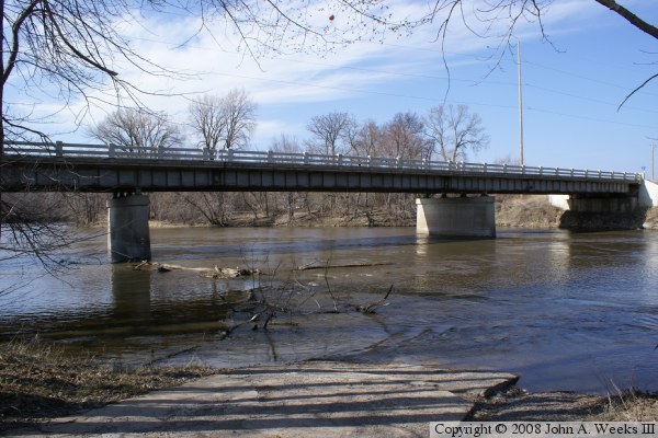
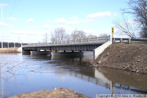
This is a very typical steel girder bridge from the era of the 1950s. It is a
very functional bridge, but a bridge with absolutely no decorative features,
which again is typical of that era. Today, this would likely have been built
as a prestressed concrete girder, much like many of the newer bridges on the
lower section of the Minnesota River. A feature worth noting is the concrete
fence style guardrails. This style is considered to be obsolete. The first
reason is that they present a vertical surface to anything that strikes the
rail. Second, they are open and allow road debris to be pushed into the river
by snowplows. Most such bridges are being updated to the new style solid
guardrail that features an angle at the bottom to redirect some of the force
of an impact.
The highway 1 and highway 101 bridge is located about 3 miles from the small
city of Redwood Falls. The actual falls at Redwood Falls is on the Redwood
River, which joins the Minnesota River just downstream from the highway bridge.
Richard W. Sears was the first agent for the railroad depot in North Redwood,
the small village between Redwood Falls and the Minnesota River bridge. Sears
was involved in a deal where a local jeweler refused to accept a shipment of
watches. Rather than send the watches back, Sears accepted the package and
sold the watches himself. This lead to the start of a mail-order business,
and along with partner Alvah R. Roebuck, they formed Sears, Roebuck, and
Company.
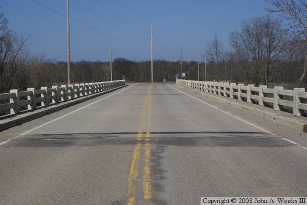
The photo above is a view looking north down the length of the bridge deck
towards Renville County from the center of Redwood County highway 101.
The photo above is the east face of the county highway 1 and highway 101
bridge as seen from a boat ramp located just downstream of the structure
on the south riverbank. The photo below is a view looking down the length
of the highway 1 and highway 101 bridge from the southwest corner of the
structure.
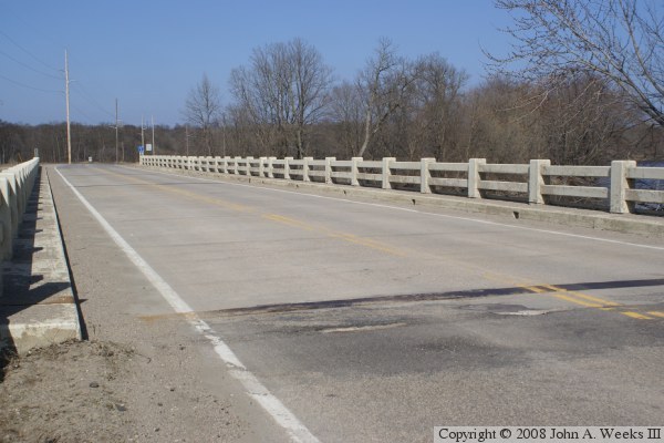
The photo above is looking north down the west face of the county highway 1
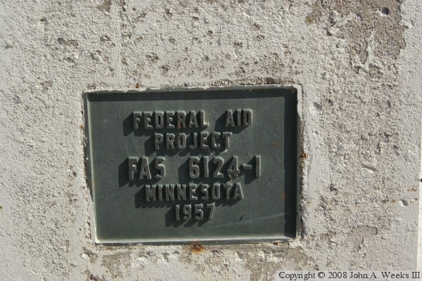
and highway 101 bridge. The photo below is the bridge plate.
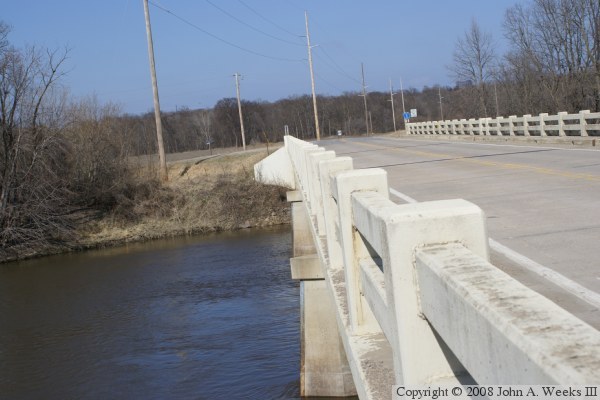
These two photos are views from the spring flood of 2010. The photo above
is looking north down the length of the bridge deck. The photo below is
the upriver west side of the structure. Note that the water level is near
the top of the bridge piers.