The first bridge at this location dates back to 1888 when a wooden
trestle supporting a footbridge was built across the Minnesota River
at this location. The bridge was built to connect a residential
district on the east side of the river with the business district
on the west side of the river.
In 1935, the wooden bridge was replaced with a steel bridge designed
under license from the Roebling Company, the firm famous for building
the Brooklyn Bridge. Roebling had expertise in suspension designs and
they were the primary vendor for the suspension cable and connectors.
Monumental floods in both 1997 and 2001 swamped this suspension bridge
and damaged the structure of the bridge. It has since been repaired,
which accounts for the nice new paint job we see in these photos. The
bridge is located in the downtown shopping area. There is a fantastic
view of the dam from the middle of the suspension bridge.
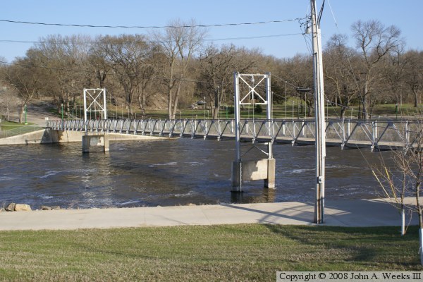
The photo above is a view looking southeast towards the upstream north side
of the Walking Bridge. The photo below is the bridge plate that is attached
to the west bridge tower.
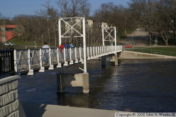
These two photos are views looking across the Minnesota River from the west
bank of the river just south of the Walking Bridge. The photo above is looking
down the south face of the structure, while the photo below is a profile view.
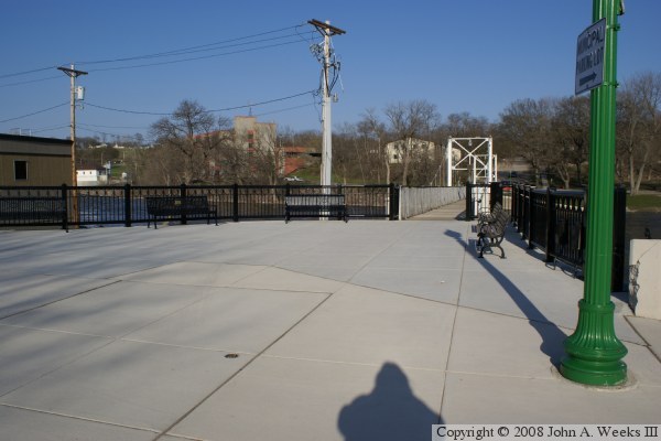
The photo above is looking east towards the Walking Bridge from the plaza
located on the downtown side of the river on the west end of the structure.
The photo below is looking east down the length of the bridge deck from
the plaza.
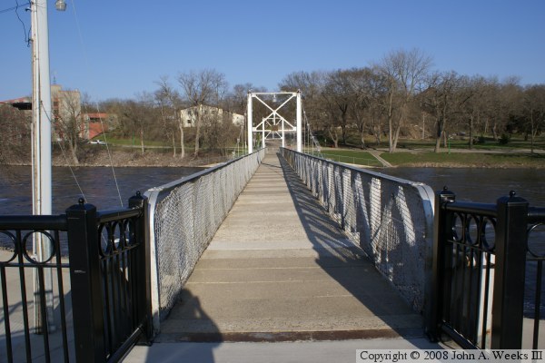
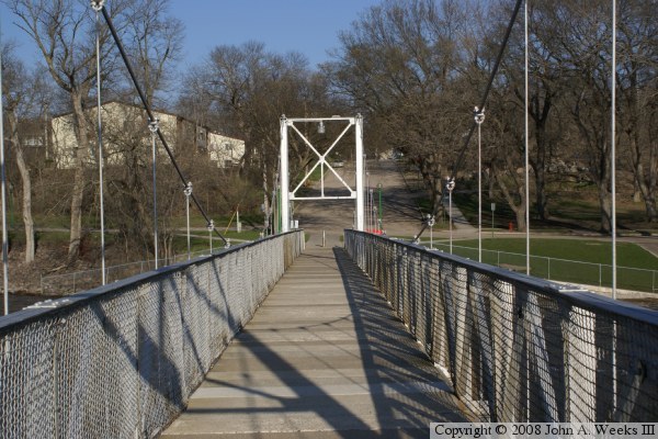
The photo above is looking east down the bridge deck from the just under the
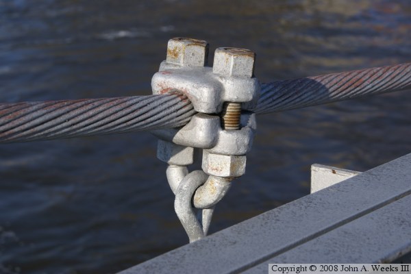
west bridge tower. The photo below is a detail view of one of the connectors
attaching the vertical support rods to the main suspension cable.
These two photos are the first of six photos taken during the spring flood of
2010. The photo above is looking east down the length of the bridge deck.
The photo below is a view of the upriver north side of the Walking Bridge.
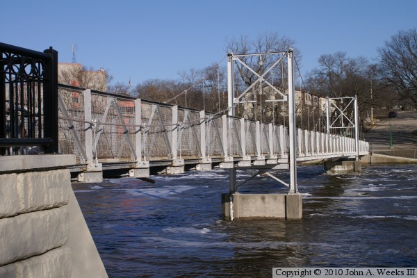
These two photos are from the spring flood of 2010. The photo above is
a view of the south downriver face of the walking bridge as seen from the
stairway leading from the bridge plaza down to the walkway that runs along
the Minnesota River. The photo below is a view from that walkway. The
river has risen out of its banks and has partly flooded the walkway.
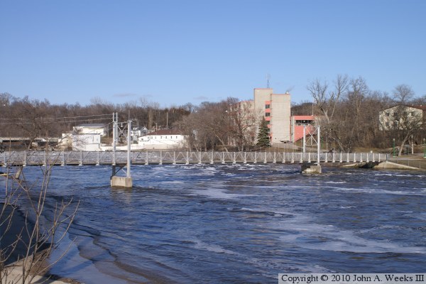
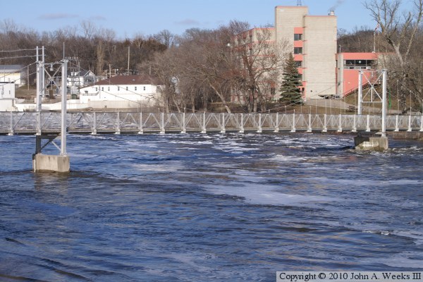
These two photos are the last of a six photo series from the spring flood of
2010. These two photos are views looking upstream towards the Walking Bridge
from the west bank of the Minnesota River. The photo above shows the entire
bridge, while the photo below is a closer view of the main suspended span.