The Lac Qui Parle Dam is one of three dams on the upper Minnesota River
built as part of a flood control project. The other two are the Marsh
Lake Dam and the Highway 75 Dam, both located upriver from this location.
The Works Progress Administration, a depression era jobs program, started
building this dam in 1936 to 1939. The US Army Corps of Engineers worked
with the State of Minnesota starting in 1941 to upgrade the project, and
the Corps took over full control in 1950. In 1996, the dam was rebuilt
and controllers were installed to operate the gates mechanically.
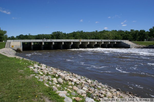
The dam is a total of 4,100 feet wide. Most of this distance is in the
form of an earthen embankment. The main spillway structure is 239 feet
long, and it consists of 8 bays that are 12 feet wide and 4 gates that
are 17 feet wide. The structure is 32 feet tall, but the typical water
fall is only 9 feet.
The pool behind the dam is known as Lac Qui Parle. It is reported to be
some of the best walleye fishing in the western part of Minnesota. The
lake varies from 1/2 to 3/4 of a mile wide, and extends 17 miles upstream.
The maximum depth is 13 feet, and it covers 10 square miles. In addition
to the US Army Corps of Engineers day use area and campgrounds at the
dam site, there are a number of other public access areas to the lake,
including a state park.
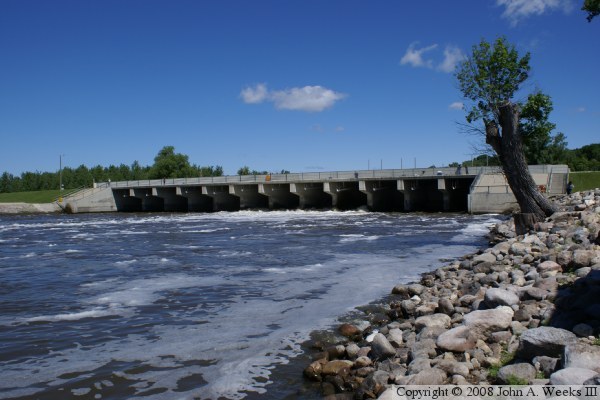
The photo above is looking north towards the Lac Qui Parle Dam control
structure as seen from the east riverbank.
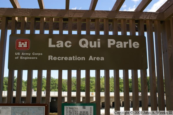
The photo above is the official project sign. The photo below is a view
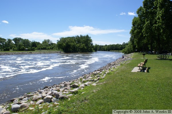
of the dam taken from downriver along the edge of the outflow channel.
Due to spring run-off, the outflow channel is higher, faster, and more
turbulent than normal.
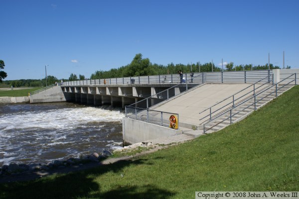
The photo above is a view from the base of the dam. The photo below is
a view of the front of the top of the dam. People often fish from the
top of the dam hoping to catch fish that are dazed by the churning water.
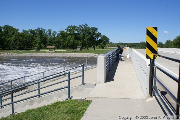
The photo above is a view of the back of the top of the dam. The
metal poles are attached to the dam gates, and the mechanisms on top
of the dam raise and lower the gates based on electrical control
signals. The photo below is the back of the dam.
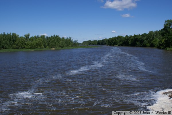
The photo above is looking upstream towards the Lac Qui Parle lake.
While the lake is quite wide in places, the first half-mile behind the
dam is little more than a deep river channel. The photo below is
looking downstream along the outflow channel. The channel is heavily
rip-rapped (rocks added to the shore) to prevent erosion of the river
banks.
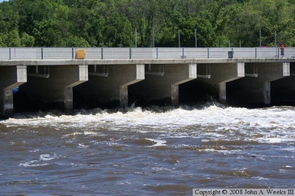
The photo above is a view of the dam from the west side of the river.
The photo below is a close-up of the water flowing through the dam
structure.