Township Road #156 is a small gravel road that crosses Marsh Lake between MN-7
and Lac Qui Parle CSAH-38. Highway signs mark it as a path between the tiny
cities of Correll and Louisburg. There was likely a more direct route between
these two cities that was flooded out in 1938 when the pool behind Marsh Lake
Dam started to fill. In addition, it is likely that an older bridge once
stood at this location, possibly a small steel truss bridge.
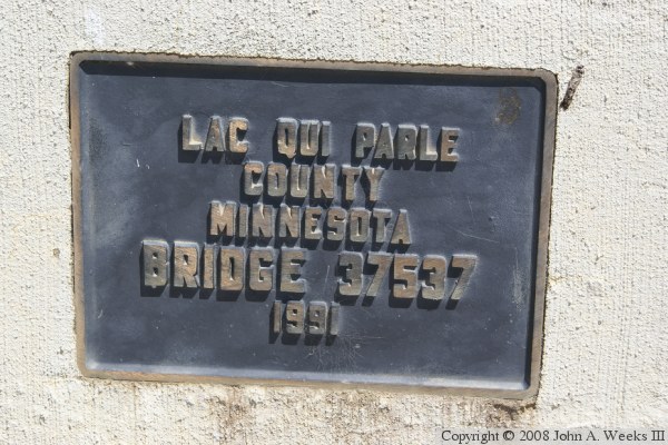
The Cement Bridge dates back to 1991. I don't know why it is called the
Cement Bridge, but I suspect that it was named the Cement bridge due to
it being made out of concrete, whereas the previous bridge was likely
constructed of iron or steel. The bridge consists of concrete girders
topped with a concrete deck. Given light traffic and occasional maintenance,
this bridge should last a century or more.
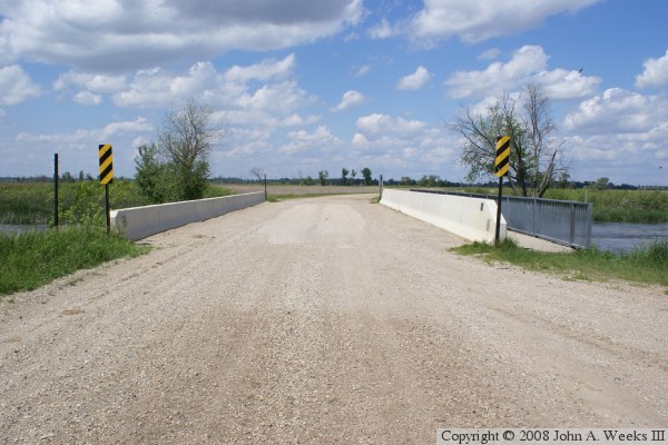
The photo above is looking north down the length of the bridge deck. The
water flows from left to right at this location. Despite the low traffic,
this is a popular fishing spot. There is a parking area on the southeast
corner of the bridge for day-use activities.
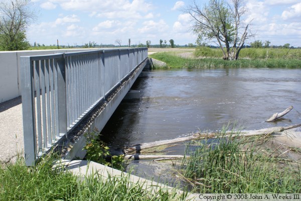
The photo above is a view of the bridge deck. Here, we see a walkway on the
downstream side of the bridge. This is just a bit humorous given that with an
average of 40 cars per day, one could lay down and take a 20 minute nap in the
middle of the road and have almost zero chance of being run over. Still, it
is good to encourage safe pedestrian access to important river crossings. The
photo below is the bridge builder's plate.
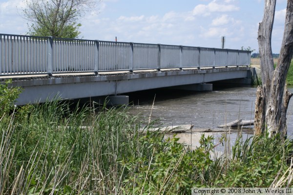
These two photos are views of the side of the bridge. With the high
water at the time these photos were taken, the water is nearly up to
the level of the bridge girders. The water would, however, flood the
road before flooding the bridge.
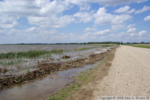
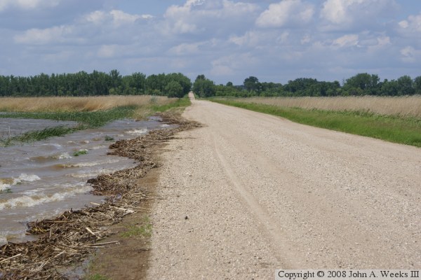
These two photos are views of the causeway towards the north end of the
river crossing. The photo above is a view that includes Marsh Lake.
The photo below shows where water is right up to the road level, and
starting to creep onto the road itself.
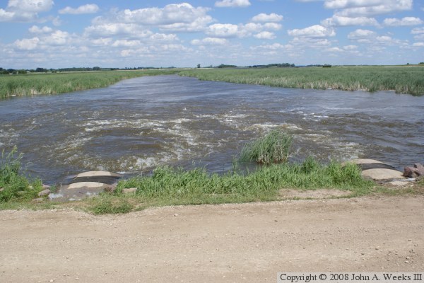
The photo above is a view of one of several sets of culverts that allow water
from Marsh Lake to cross under the highway. In this photo, we can see that
the culverts are almost totally submerged. One can also see that the joints
in the concrete between culvert sections are leaking. That shows how much
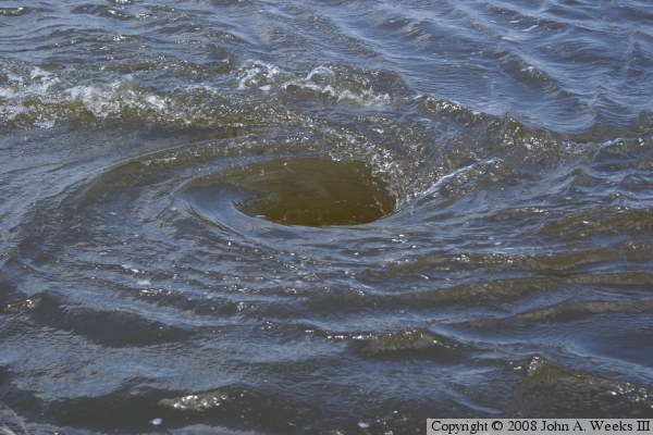
water pressure is inside these culverts. The photo below was taken on the
upstream side of the culverts. A whirlpool has developed above the entrance
to one of the culverts.