The MN-24 bridge at Clearwater is the second of two bridges that act as a
quick connection between US-10 and I-94, both of which parallel the great
river between Minneapolis and Saint Cloud. This bridge is relatively high off
of the water despite not having river navigation traffic to worry about. The
reason is that the river banks on the south (west) side of the river are
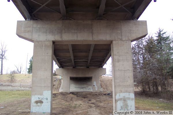
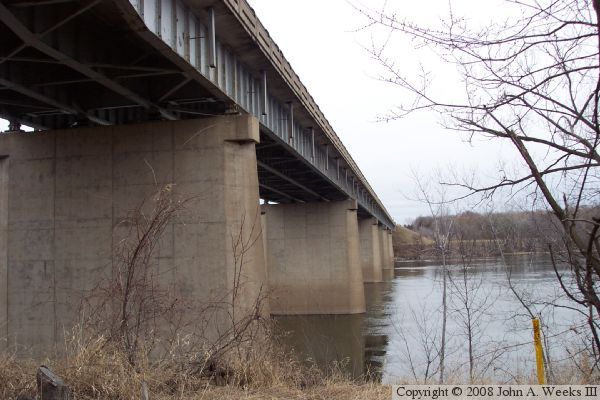
rather tall. It is interesting to note that the bridge uses two sizes of
steel girders, and two types of piers. The main river spans use closed in
piers and much taller girders. The riverbank spans use girders that are
about half as tall, and have an open style of pier.
Clearwater had a ferry crossing at this location as early as 1856. It is
noted as being the longest operating ferry on the entire Mississippi.
In 1897, a freak rainstorm dropped 14 inches of rain in 4 hours. This
resulted in the destruction of the Clearwater mill dam and railroad bridge.
The Clearwater Bridge is scheduled for replacement in 2015. The project
will involve building a new 4-lane river crossing and freeway connection
to I-94.
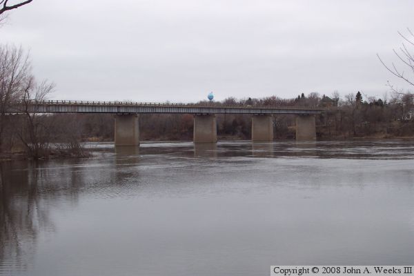
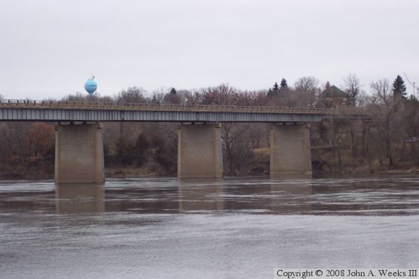
The photo above is a profile view of the Clearwater Bridge as seen from
the park located just upstream of the river crossing on the east bank of
the Mississippi River. The photo below is a view of the north face of
the bridge looking east from the northwest corner of the structure.
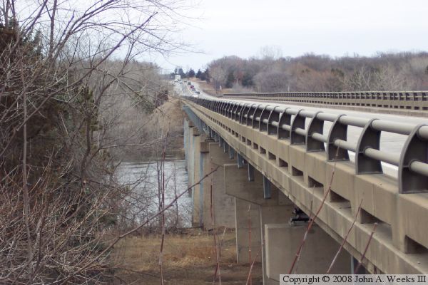
The photo above is looking east down the length of the traffic deck from
the northwest corner of the structure. The photo below is the west
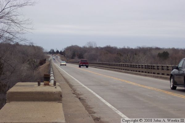
abutment as seen from directly under the structure.
The photo above is a view along the downstream south face of the bridge as
seen from the riverbank on the west side of the river. The photo below is
a view of the river channel spans as seen from the boat landing located
just upstream of the bridge on the east riverbank.