The Champion Dam played a role in the major flood of 1965. Ice dams formed in a number of unexpected places that year, causing large pools of water to form. Once such ice dam formed behind the Champion Dam, rising as high as 24 feet above the normal water level. The ice dam hit the ice breakers that are part of the dam structure, and the ice dam let go. A wall of water flowed down the Mississippi river, overtopping the Saint Cloud dam. The surge of water eventually flooded parts of Coon Rapids, and contributed to the already serious flooding in the Twin Cities area.
The Champion Dam marks a special location on the Mississippi River where it passes though the 1000 foot in elevation level. From Lake Itasca, the river has fallen 347 feet in 415 miles. This is a fall of about one foot per mile of river. Remarkably, we are only 121 air miles from Lake Itasca, which represents a fall of 3 feet per mile of actual progress towards the Gulf of Mexico. From this point heading south, the river has 1900 miles to fall the remaining 1000 feet, a fall of one foot every two miles.
Update—an air compressor exploded at the Sartell Mill on Memorial Day (May 28) 2012, killing one worker and starting a fire that gutted the plant. There were 4,000 rolls of paper in storage at the plant, which turned out to be extremely difficult to extinguish, especially after the plant roof collapsed. As of mid-summer 2012, the plant is shutdown, ending the run of 105 years of making paper in Sartell. While the state of MN has indicated that state aid might be available, the Verso management will have a very difficult business decision to make about rebuilding the plant during an economic downturn. The company had already mothballed two of the three paper machines at the factory the previous autumn.
Update—on August 3, 2012, Verso announced that they would not rebuild the Sartell mill. The company stated that the mill was no longer cost competitive, and it would take too long to rebuild the mill.
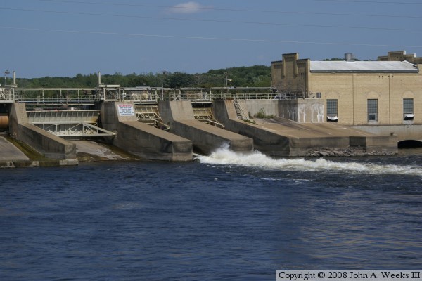
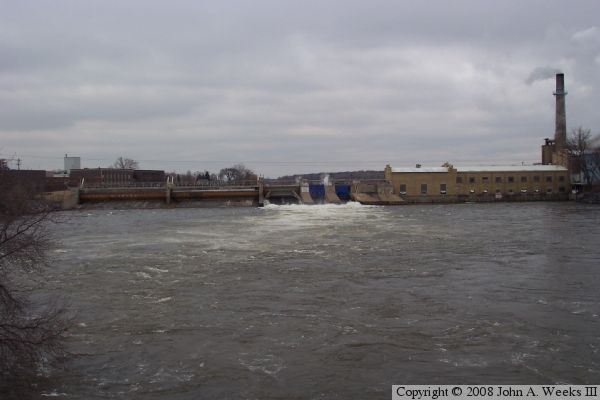
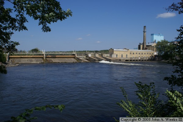
The photo above is a view from the summer of 2008 from a city park located just downriver from the structure on the west river bank. The photo below is a close view of the smaller control gates and the powerhouse.