Current Weather Conditions
John A. Weeks III
Thursday, September 2, 2010, 8:58:03 PM CDT
Home 12 Easy Steps Random Topics About The Author Portal
Aviation Spacecraft Highways & Bridges Photo Tours Rail Fan

Google Search

 Maps  Groups
 Images  Search
  Home
  • 12 Easy Steps
  • Aviation
  • Spacecraft
  • Highways & Bridges
    » Bridge Photography
      - MSP River Bridges
      - C & D Canal
      - Illinois River
        › Joliet - La Salle
          · Dresden Island L&D
          · EJ&E Railroad Br
          · Morris Bridge
          · Seneca Rail Bridge
          · Seneca Bridge
          · Marseilles Dam
          · Marseilles Bridge
          · Marseilles Mill Ruins
          · Marseilles Canal
          · Marseilles Lock
          · Veterans Memorial Br
          · Ottawa Rail Bridge
          · Starved Rock L&D
          · Utica Bridge
          · Abraham Lincoln Br
          · La Salle Rail Bridge
          · Shippingsport Bridge
        › Peru - Peoria
        › Pekin - Beardstown
        › LaGrange - Grafton
      - Minnehaha Creek
      - Minnesota River
      - Mississippi River
      - Missouri River
      - St. Croix River
      - St. Louis River
      - Wisconsin River
      - Cable Stayed Bridges
      - McGilvray Road
      - I-35W Bridge Disaster
      - Miscellaneous Bridges
    » Road Geek Topics
  • Random Topics
  • Photo Tours
  • Rail Fan
  • About The Author
  • John's Portal
 
Site Search By JRank
Highways, Byways, And Bridge Photography
Marseilles Dam
Illinois River Dam
Marseilles, IL

Marseilles Dam

• Structure: Marseilles Dam
• Location: River Mile 247.0
• Structure Width: 975 Feet, Total Of Three Dams
• River Elevation (Pool): 483 Feet
• River Elevation (Outflow): 459 Feet
• Water Fall: 24 Feet
• Date Built: 1933
Construction of the 9-foot navigation channel project on the upper Illinois River was started by the State of Illinois in 1921. The project was mostly complete by 1930 when the state ran out of money and stopped the project. The project was turned over to the US Army Corps of Engineers, who completed the project in 1933. The 1933 dam replaced an 1867 era dam. Various mills had dams at this location going back to 1832.

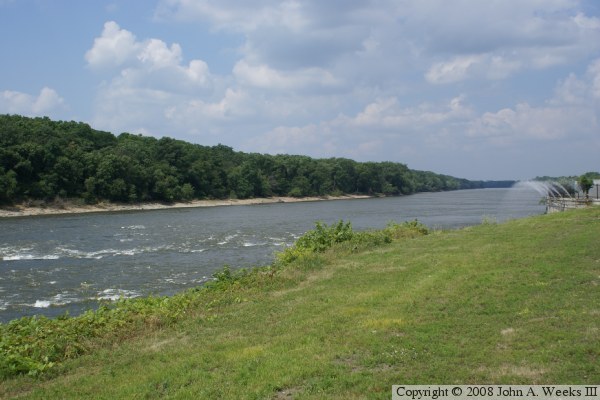
The Marseilles Dam and Marseilles Lock are unusual in that they are not in the same physical location. The lock is 2.4 miles downstream from the dam on a canal that was dug to bypass a large rapids in the main river channel. The main dam structure blocks the Illinois River, while it allows water to flow freely into the Marseilles Canal. The dam has side structures that also regulate the flow of water into the two mill raceway intakes. The main dam structure is about 600 feet long. It features submersible Tainter gates. These gates can be raised to allow water to flow under them in the summer, and then lowered to allow ice to flow over them in winter.


Marseilles Dam
Marseilles Dam

Made With Macintosh
Authored by John A. Weeks III, Copyright © 1996—2010, all rights reserved.
For further information, contact: john@johnweeks.com