Current Weather Conditions
John A. Weeks III
Sunday, October 1, 2023, 9:08:58 PM CDT
Home Photo Tours Rail Fan 12 Easy Steps
Aviation Spacecraft Highways & Bridges About The Author
 
Google Search
Maps   Groups   Images   Search
 
  Home
  • 12 Easy Steps
  • Aviation
  • Spacecraft
  • Highways & Bridges
    » Bridge Photography
      - MSP River Bridges
      - C & D Canal
      - Illinois River
        › Joliet - La Salle
          · Dresden Island L&D
          · EJ&E Railroad Br
          · Morris Bridge
          · Seneca Rail Bridge
          · Seneca Bridge
          · Marseilles Dam
          · Marseilles Bridge
          · Marseilles Mill Ruins
          · Marseilles Canal
          · Marseilles Lock
          · Veterans Memorial Br
          · Ottawa Rail Bridge
          · Starved Rock L&D
          · Utica Bridge
          · Abraham Lincoln Br
          · La Salle Rail Bridge
          · Shippingsport Bridge
        › Peru - Peoria
        › Pekin - Beardstown
        › LaGrange - Grafton
      - Minnehaha Creek
      - Minnesota River
      - Mississippi River
      - Missouri River
      - St. Croix River
      - St. Louis River
      - Wisconsin River
      - Best Miss River Photos
      - Cable Stayed Bridges
      - McGilvray Road Bridges
      - I-35W Bridge Disaster
      - Miscellaneous Bridges
      - Madison County Bridges
      - Hist Br Weekend 2013
    » Road Geek Topics
  • Photo Tours
  • Rail Fan
  • About The Author
 
Site Search By JRank
Highways, Byways, And Bridge Photography
Dresden Island Lock & Dam
Illinois River Lock & Dam
Channahon, IL

Dresden Island Lock & Dam

• Structure: Dresden Island Lock & Dam
• Location: River Mile 271.5
• Structure Width: 1,750 Feet Overall, 1,015 Foot Main Structure (Estimated)
• River Elevation (Pool): 505 Feet
• River Elevation (Outflow): 483 Feet
• Water Fall: 22 Feet
• Annual Lock Traffic: 5,511 Vessels, 19,371,000 Tons (2005)
• Date Built: 1933
The Dresden Island Lock & Dam is the uppermost of 5 lock and dam complexes that maintain the 9-foot navigation channel on the Illinois River. There are 3 more locks further up river on the Illinois Waterway, but while the Illinois River ends at the junction of the Des Plains River and Kankakee Rivers, the Illinois Waterway continues up the Des Plains River, the Ship Canal, and the Chicago River. That river junction is just up river from this location.

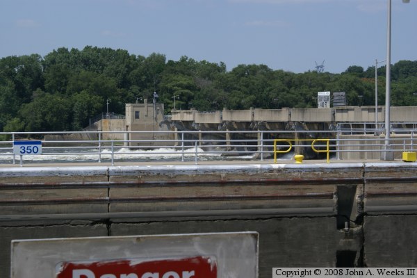
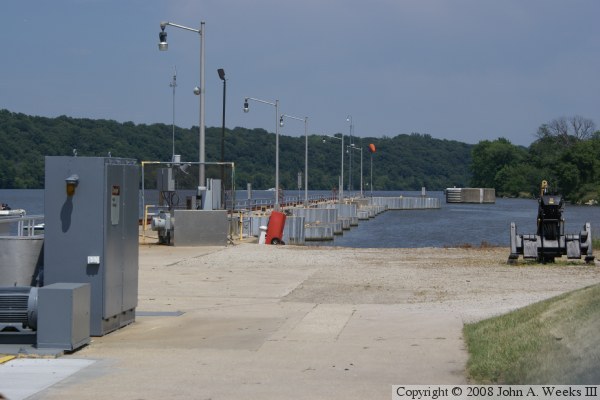
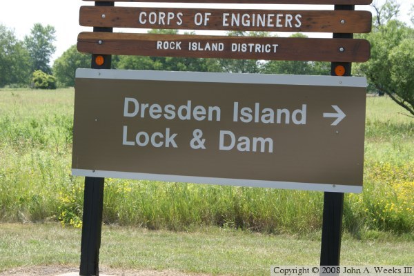
The Dresden Island Lock & Dam was built in the early 1930s as part of a project to increase the navigation channel to a 9-foot depth. The project was named after Dresden Island, the small island just downstream of the dam. As the river is currently arranged, navigation traffic exits the lock on the south side of the island, but water flowing through the gates of the dam flow past the north side of the island.

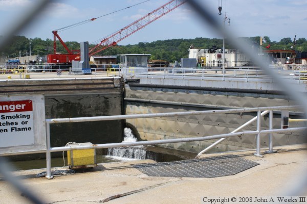
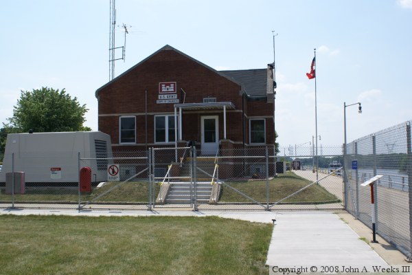
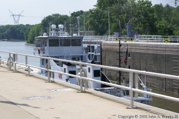
There is no observation deck at this location, so photographing lock traffic is difficult. There is also a chain link fence along the lock area, which increases the difficulty of getting good photos. The Lock & Dam can be accessed from the north via the I&M Canal tow path, but that only gives access to the earthen dike section of the dam. The visitors area by the lock is accessed by taking the highway to the Dresden Island Nuclear Power Plant, then following signs to the Lock & Dam.


Dresden Island Lock & Dam

Made With Macintosh
Authored by John A. Weeks III, Copyright © 1996—2016, all rights reserved.
For further information, contact: john@johnweeks.com