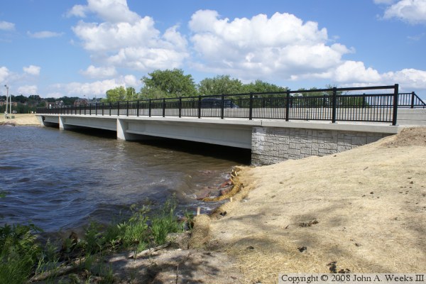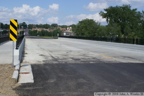
The old bridge was bridge number 5411, which was, 223 feet long and 27 feet wide, resulting in a narrow 2 lane bridge. The new bridge is shorter, but much wider. The new bridge has two wide lanes, enough room for shoulders, and a walkway and regional trail crossing on the northwest side of the bridge. The bridge has a few decorative effects, including some lines cast into the guardrails, 45-degree angles at the ends of the guardrails, and a rock pattern cast into the abutments. This is topped off with three sets of very elegant black steel railings. This makes for a very nice looking bridge that occupies such an important location at the very head of the Minnesota River.
The dividing line between Minnesota and South Dakota runs down the center of Big Stone Lake, the lake that is northwest of this bridge. Since the bridge is located about 1/3 of the way across the bottom of the lake, the bridge is fully within the State of Minnesota and Big Stone County. The state line exits the lake about 500 feet southwest of the bridge. The state line runs southeast of that point about 400 feet, and then it turns directly south. The current channel of the Minnesota River remains fully within the State of Minnesota.
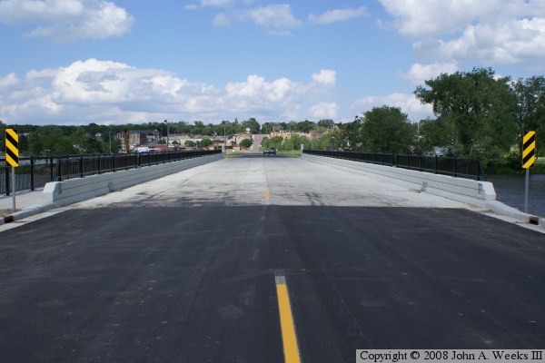
The photo above is looking northeast down the center of the bridge deck towards the city of Ortonville from the west side of the structure.