The Jefferson Avenue bridge is located in the Bemidji area just outside of
the city limits. Like the bridge just up river at Fern Lake Road, this is
a single span bridge that crosses the mighty river in a single bound. Unlike
the bridge just up river, this bridge is dressed up a little with horizontal
lines on the outside of the bridge railings and vertical lines on the
abutments. Like many of the headwaters area bridges, this one features a
solar powered river monitor placed by the State of Minnesota Pollution
Control Agency, who is watching the river for oxygen levels and heavy metals
such as mercury.
According to the Mary Costello book (Climbing The Mississippi River Bridge
By Bridge, Volume 2), the original bridge at this location was the 1926
Ritchie Highway Bridge, which was replaced by a pre-fabricated 1956
precast prestressed concrete bridge. The 1956 bridge was nearly a
carbon copy of the Beltrami County Highway 5 bridge over the Mississippi
River.
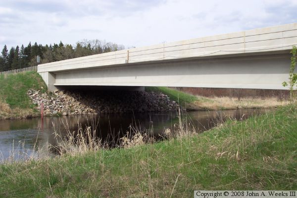
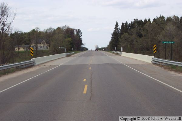
The photo above is a view of the west side and under the bridge as seen
from the water level. The photo below is a view looking north across the
traffic deck.
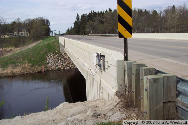
The photo above is a view of the side of the bridge as seen from the
northwest corner of the structure. The electronic monitoring equipment is
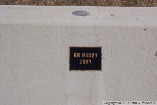
attached to the upriver side of the structure. The photo below is the
bridge plate. Note that a survey marker is embedded on top of the bridge
railing just above the bridge plate.