This Minnesota River crossing is in a rural area just north of the
city of Jordan, Minnesota. Jordan is located on US-169, which
roughly parallels the Minnesota River from Bloomington to Mankato.
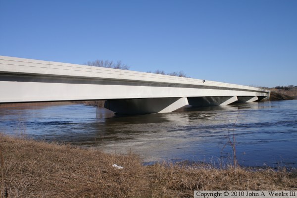
This bridge, built in 2002, is typical of the cookie-cutter concrete
girder bridges that are so common over the past 20 years. This bridge
is the most generic of that style, with no decorative features to
speak of. Given the rural location and low traffic count, function
and cost are far more important than style.
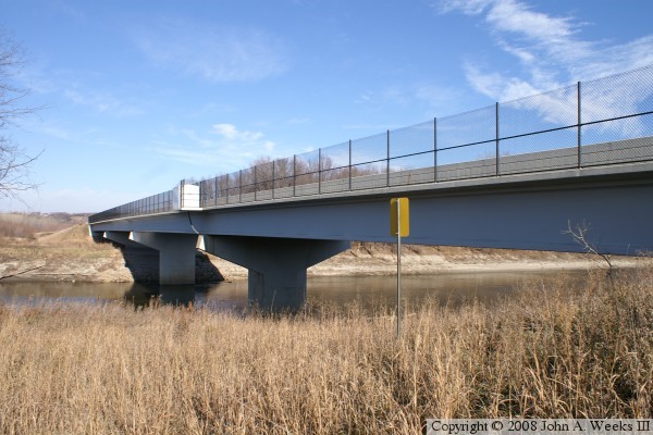
You may note a large white box on the side of the bridge. This is
a shared river monitoring station. Different agencies can install
equipment in these boxes to monitor different aspects of the river.
Typical uses are for the USGS to monitor river levels and water flow,
and the Minnesota Pollution Control Agency to monitor mercury and
oxygen levels in the water.
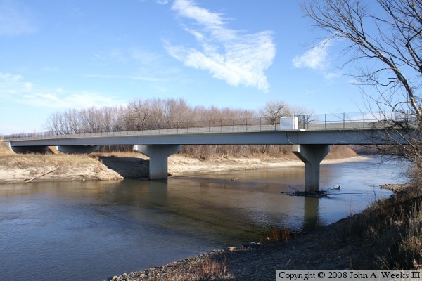
The photo above is looking east towards the upstream west face of the bridge
as seen from the south riverbank.
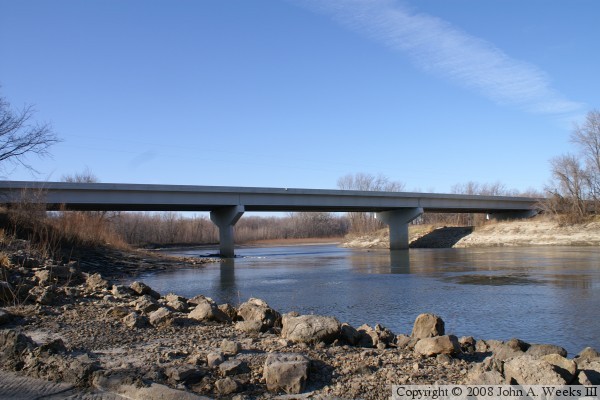
The photo above is looking west towards the downstream east face of the
bridge, again, from the south riverbank. The photo below is looking north
down the upstream west face of the County 9 and County 45 bridge.
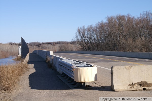
The photo above is a view looking west down the length of the traffic deck as
seen from the westbound traffic lane. The photo below is a view looking
west down the length of the bridge deck from the southeast corner of the
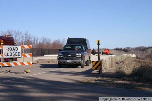
structure. Note the K-block across the traffic lane. The bridge was closed
for the flood of 2010 when this photo was taken.
These two photos are more views from the flood of 2010. The photo above is
the downstream east face of the structure. Compare the water level, which
is up to the level of the arms on the piers, to the photos above. The photo
below is the scene at the east end of the bridge. The county highway
department has blocked the bridge with K-blocks. Highway engineers are
preparing a rig that will allow them to inspect the bridge for damage.