US-169 originally crossed the Minnesota River at Saint Peter, and ran along
the east side of the river into Mankato. That route is currently used by
highway MN-22. The highway was moved off of Front Street in downtown
Mankato and routed along the west side of the river though North Mankato.
The road between Saint Peter and Mankato was developed as 4-lane expressway.
Moving the highway out of downtown required building a new Minnesota River
bridge. This bridge also crossed a large rail yard on the east side of
the river. The bridge was built in 1960, and is named the North Star Bridge.
Mankato has historically been hit by a series of large floods. Federal
funding for floodwalls was repeatedly turned down by the government, until
it was finally approved in the late 1950s. That project was never started,
and in 1965, the food of the century hit. That flood caused a huge amount
of damage in downtown Mankato when the make-shift dikes gave away. As a
result of the flood, the flood protection project was finally put into high
gear. That project built levees on both sides of the river, and capped
those levees with floodwalls. The US-14 bridge was lower than the floodwalls,
so it had to be removed. It was replaced with the new Veteran's Memorial
Bridge. The North Star Bridge was high enough, but the levees and floodwall
just barely cleared under the bridge structure. Since that time, the flood
protection system has worked very well, protecting the city from several
50 and 100 year floods in the late 1990s and early 2000s.
By the late 1980s, the pavement on the US-169 bypass had reached the end
of its life, and the bridge was in need of repairs. As a result, MN-DOT
funded a project to rebuild the US-169 bypass, put in new concrete
pavement, widen the shoulders, and put in modern guardrails. This allowed
MN-DOT to raise the speed limit on the highway from the traditional 50 MPH
to the more normal 55 MPH.
The North Star Bridge is the third of three bridges to carry US-169 across
the Minnesota River when heading upstream from the Twin Cities. The other
two crossings are the Bloomington Ferry Bridge in the southwest metro area,
and the US-169 bridge at Le Sueur.
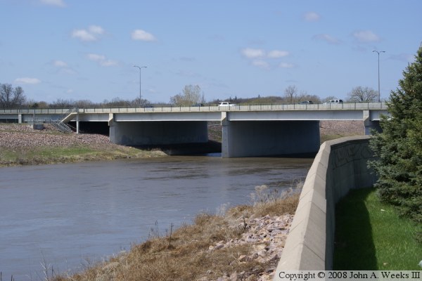
The photo above is looking southwest towards the main Minnesota River channel
spans from the north side of the river. The vantage point is the bicycle trail
that runs along the north side of the river between US-169, the Minnesota
River, and the Lookout Drive highway interchange. Note that the steel girders
on the river spans is much larger than the steel girders on the railroad
crossing spans that start at the far left side of the photo. Also note that
while the levee on the south side of the river comes very close to the bottom
of the bridge girders, the bridge does not end at the levee.
The photo above is a telephone view looking east from the intersection of
Judson Bottom Road and Lookout Driver on the north side of the river channel.
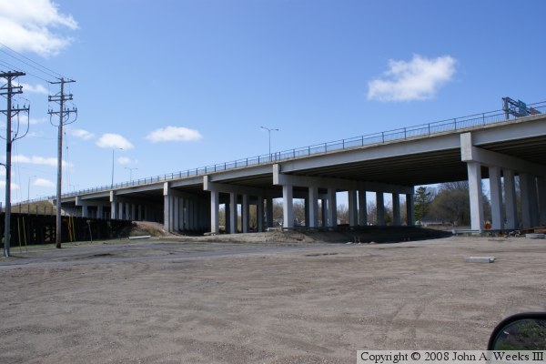
The photo below is looking southwest towards the railroad crossing spans
from the north side of the river. The vantage point is the bicycle trail
that runs along the north side of the river between US-169, the Minnesota
River, and the Lookout Drive highway interchange.
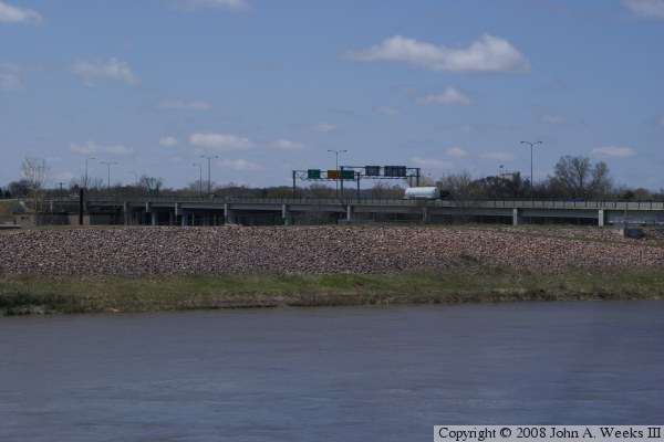
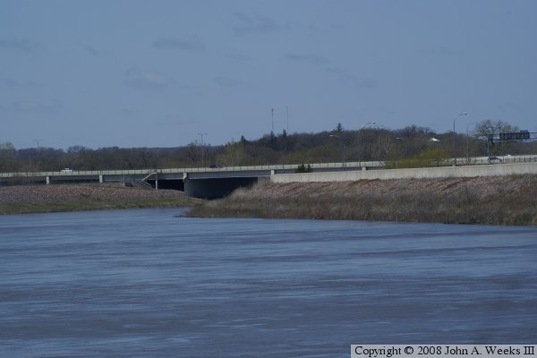
The photo above is a view looking southwest towards the railroad yard bridge
spans on the south end of the North Star Bridge. This area was once a large
sand and gravel operation and a railroad maintenance yard. It has since been
cleared and is being redeveloped. Note that the main line of the Union
Pacific railroad passes over a trestle just before passing under the North
Star Bridge. Also note that the bridge piers run at an angle on each side
of the railroad tracks, while the rest of the bridge piers are perpendicular
to the bridge deck.
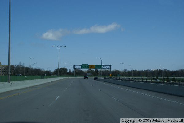
The photo below is a view traveling southbound on US-169 traveling over the
main Minnesota River channel spans of the North Star Bridge.
These two photos are views crossing the North Star Bridge heading northbound
on US-169. The photo above is crossing the railroad bridge spans on the south
end of the bridge. The signs indicate that the Lookout Drive exits are
coming up soon, and that a sharp turn to the right is at the north end of
the bridge. The photo below is crossing the main Minnesota River channel
spans. The signs ahead point to where the Lookout Drive exit departs from
US-169 and that the outside lane comes to an end.
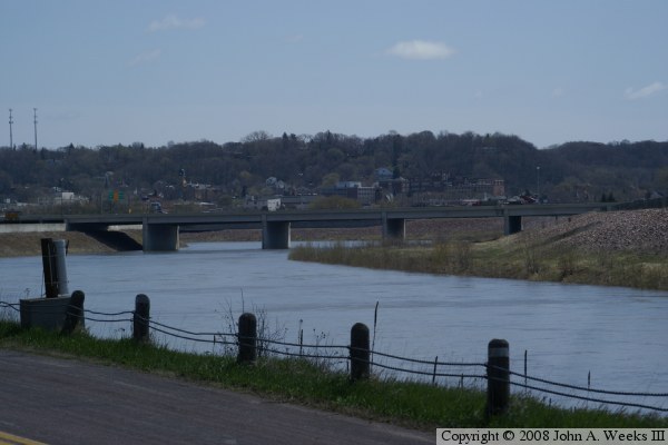
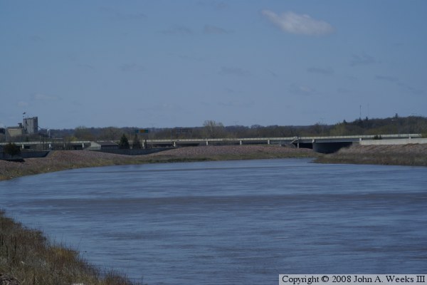
These two photos are telephone views looking southeast from the riverfront
bicycle trail on the east riverbank from a location just south of the
Veterans Memorial Bridge. The North Star Bridge is about two-thirds of a
mile away from this vantage point. The photo above is an overview showing
the river spans on the right side of the photo and the railroad crossing
spans on the left side of the photo. The photo below is a closer view of
the river spans.