Current Weather Conditions
John A. Weeks III
Friday, September 22, 2023, 10:01:07 AM CDT
Home Photo Tours Rail Fan 12 Easy Steps
Aviation Spacecraft Highways & Bridges About The Author
 
Google Search
Maps   Groups   Images   Search
 
  Home
  • 12 Easy Steps
  • Aviation
  • Spacecraft
  • Highways & Bridges
    » Bridge Photography
      - MSP River Bridges
      - C & D Canal
      - Illinois River
      - Minnehaha Creek
      - Minnesota River
      - Mississippi River
        › Lake Itasca Area
        › Bemidji Area
        › Cass Lake - Ball Club
        › Grand Rapids Area
        › Blackberry - Crosby
        › Brainerd Lakes Area
        › Little Falls Area
        › St. Cloud Area
        › North Metro Area
        › Port Of Minneapolis
        › St. Anthony Falls Area
        › Mississippi Rvr Gorge
        › St. Paul Area
        › S St. Paul - Hastings
        › Red Wing - Winona
        › La Crosse Area
        › Lansing - Clinton
        › Quad Cities Area
          · Fred Schwengel Mem
          · Le Claire Canal
          · Smith's Island Foot
          · LD #14 Entrance Br
          · Lock & Dam #14
          · Campbell's Island Br
          · Iowa-Illinois Mem Br
          · Moline-Arsenal Br
          · Sylvan Slough Canal
          · Moline Power Plant
          · Sylvan Island RR
          · Sylvan Island Wagon
          · Sylvan Slough RR
          · Arsenal Power Plant
          · Sylvan Slough Via
          · Government Bridge
          · Lock & Dam #15
          · Centennial Bridge
          · Crescent RR Br
          · Sgt. John F. Baker Br
        › Muscatine - Louisiana
        › St. Louis Area
        › Chester - Cairo
        › Miss - Tenn - Ark
        › Ark - Miss - Louisiana
        › Louisiana Structures
      - Missouri River
      - St. Croix River
      - St. Louis River
      - Wisconsin River
      - Best Miss River Photos
      - Cable Stayed Bridges
      - McGilvray Road Bridges
      - I-35W Bridge Disaster
      - Miscellaneous Bridges
      - Madison County Bridges
      - Hist Br Weekend 2013
    » Road Geek Topics
  • Photo Tours
  • Rail Fan
  • About The Author
 
Site Search By JRank
Highways, Byways, And Bridge Photography
Sylvan Island Wagon Bridge
Sylvan Island Mississippi River Crossing At Moline
Moline, Illinois

Sylvan Island Wagon Bridge

• Structure ID:  
• Location: River Mile 484.5.
• River Elevation: 545 Feet.
• Structure Type: Pedestrian Foot Bridge.
• Bridge Type: Double Quadrangular Truss.
• Length: 174 Feet Overall, 87 Foot Longest Span.
• Width: 14 Feet.
• Navigation Channel Width: Non-Navigable.
• Height Above Water: 16 Feet.
• Date Built: September 1872, Strengthened 1901.
Sylvan Canal was built as a tailrace (outflow channel) for the newly built Moline Power Plant. This cut off a section of land from the Illinois side of the Mississippi River. The piece of land was given the name Sylvan Island. After the tailrace was complete, the Federal Government installed this bridge to provide access to the island.

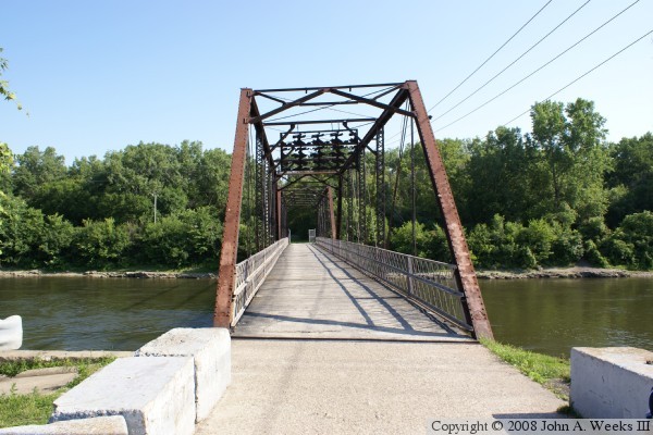
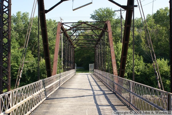
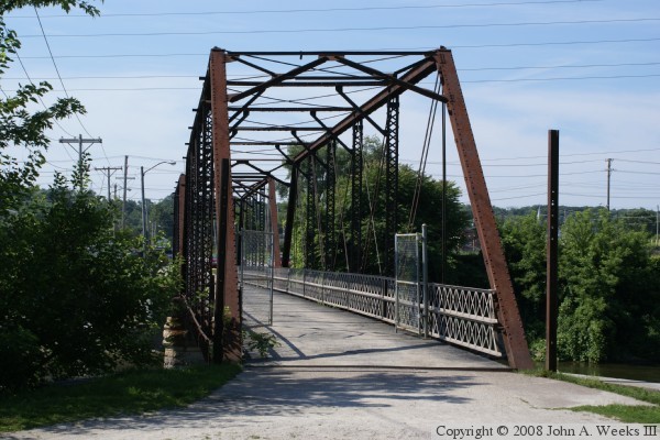
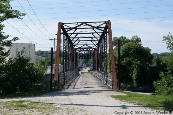
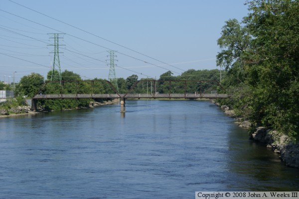
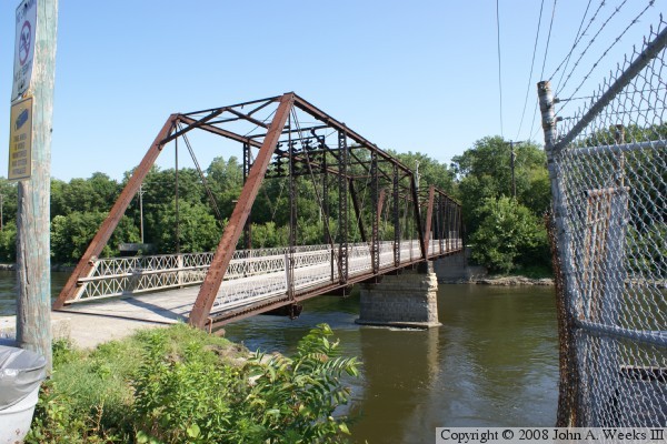
The bridge was strengthened in 1901. The wood floor was removed in 1953 and replaced with steel and asphalt. The steel mill on Sylvan Island closed in 1956, which lead to a decline in traffic over the bridge. The bridge was closed in the early 1960s due to safety issues. The federal government transferred ownership of the bridge to the City of Moline in 1975. In 1995, the city repaired the bridge, and opened it up for pedestrian and bicycle use.

Today, nature has reclaimed Sylvan Island. It has become an ever more popular place to take a nature walk or go for a run as the quad cities continues to reclaim its riverfront area.


Sylvan Island Wagon Bridge

Made With Macintosh
Authored by John A. Weeks III, Copyright © 1996—2016, all rights reserved.
For further information, contact: john@johnweeks.com