The Knife Falls Dam on the north side of Cloquet was developed at the same
time as the Scanlon Dam a few miles downstream. Like the Scanlon Dam, this is
considered to be a small hydro project with an electrical output of
2.4-megawatts. The Knife Falls Dam is also owned and operated by Minnesota
Power.
The dam is located at the site of a natural rapids in the river. River rapids
are common in this area where the Saint Louis River plunges from an elevation
of 1,200 feet on top of the bluffs down to Lake Superior at an elevation of
602 feet. The Saint Louis River has two channels in this location. The main
dam and powerhouse is on the south channel of the river. It consists of a
1,644 foot wide reinforced concrete and steel structure. While the dam is
sitting on piles driven into the rock at the rapids, the structure depends on
its weight to hold it in place. The north
channel is much narrower and requires a very short dam. There are several
smaller dams blocking channels through the rocks between the two main river
channels.
The downstream side of the dam is blocked off by the Sappi Paper Mill, which
is the former Potlatch Mill. A road runs along the north side of the river.
It is blocked off by a gate, but parking is allowed along this road and you
can walk in to the dam site. This is a popular fishing location. The Knife
Falls Dam area is reported to be a great location for catching Northern Pike
and Smallmouth Bass.
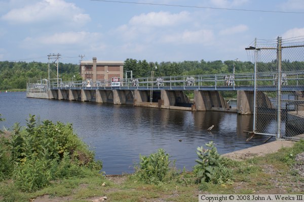
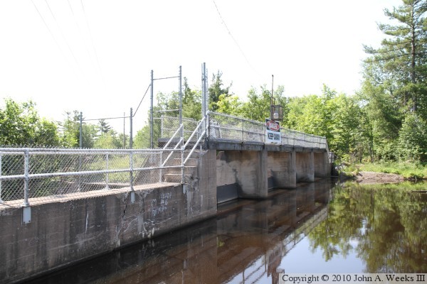
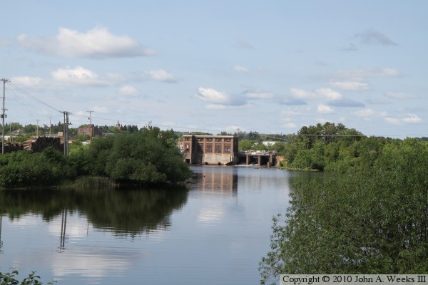
The photo above is the upriver side of the dam control structure across the
south channel of the Saint Louis River. Access to the downriver side of the
dam is on Sappi property and is not open to the public. The photo below is the
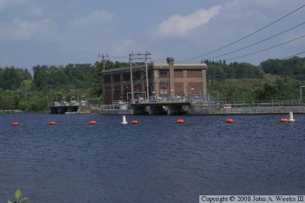
dam power house and control gates, also seen from the south side of the river.
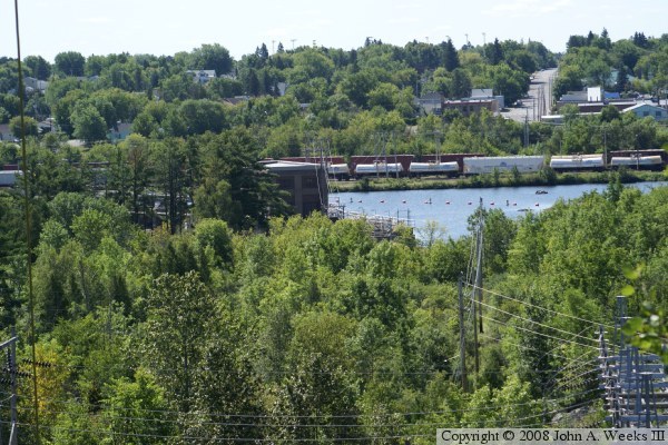
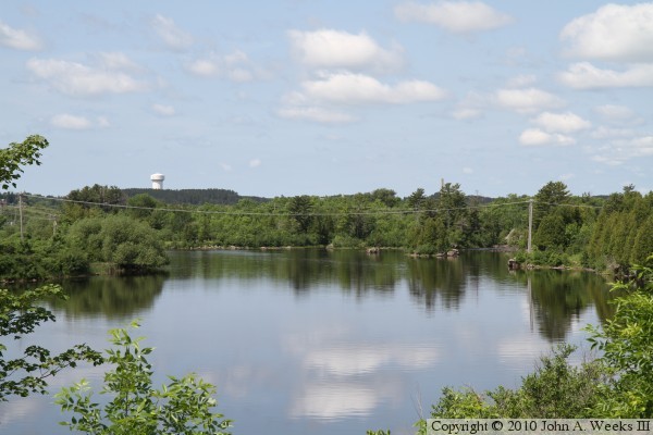
My first attempt to visit the dam structures on the north side of the river
was by attempting to walk down the hill from Jackson Street. That path did
not work out, but it did offer a nice view of the river. The photo below is
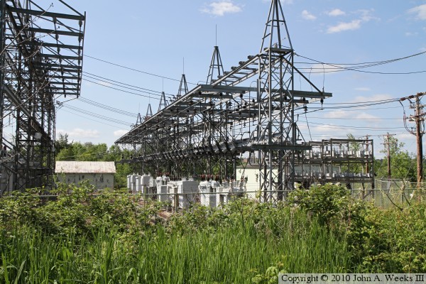
the power substation on the north side of the river. Walking in on the access
road worked much better.
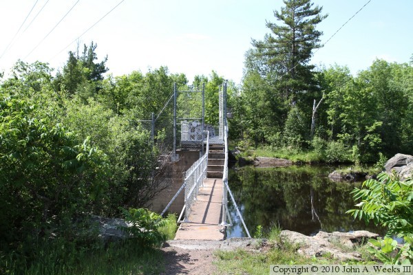
The photo above is the upstream side of the control dam over the north river
channel. This photo is looking directly into the bright morning sun. The
reflections are very bright even when looking at the photo on a computer
screen. The photo below is looking south towards the north channel dam.
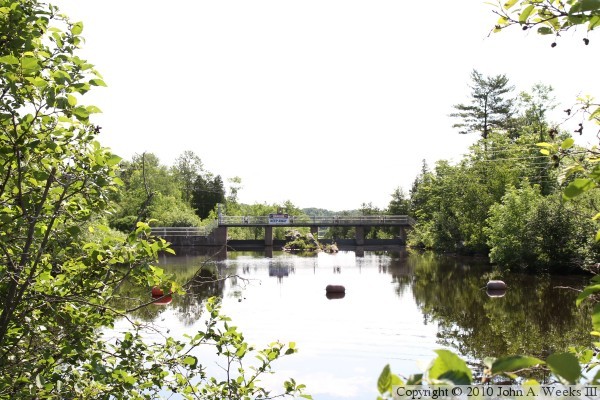
The photo above is the upriver pool side of the north channel dam as seen
from the north side of the river. The photo below is looking upstream from
this same location. The orange markers in the water warn boaters of the
dam.
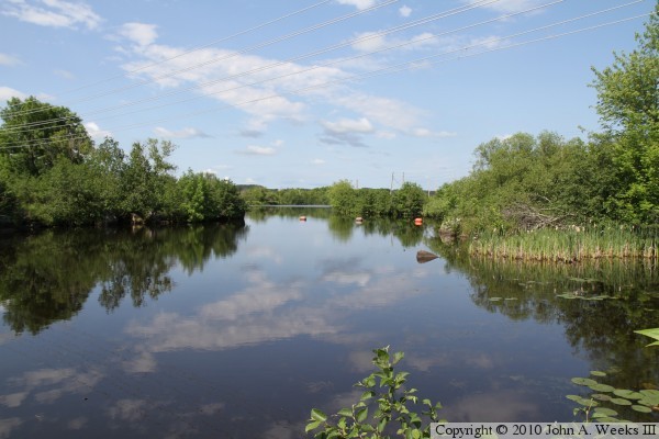
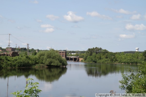
The photo above is looking upstream from a location below the Knife Falls Dam
from the north side of the river. The rocks are the visible portion of a now
submerged rapids located between the north and south channel dams. There are
several small dams located in the trees blocking off small channels between
the rocks. The photo below is a view of the downriver side of the south
channel dam and power house. The vantage point is the access road leading to
the Cloquet Dam on the north side of the Saint Louis River.
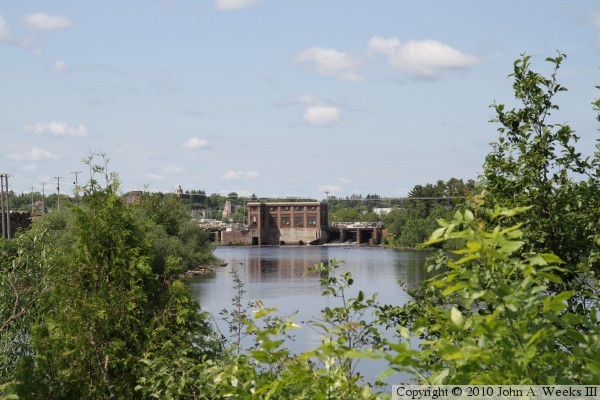
These two photos are additional views of the downstream side of the south
channel dam and power house, from the same vantage point as the photo above.
I unfortunately did not have a telephone lens with me on this trek. That
leaves something for me to do the next time I pass through this area.