These photos show the remains of an old bridge that once crossed the north
channel of the Saint Louis River at Cloquet. It appears that this was a road
bridge that would have been used along with the old Main Street Bridge as the
one and only Saint Louis River crossing in the city of Cloquet. I have not
yet learned the dates when this bridge was built or removed. It appears that
the current MN-33 expressway bridges are replacements for earlier bridges on
the same alignment, so these bridge remains would have been from and even
older time period. If I had to guess, I would suggest that this bridge might
have been built around the turn of the century, it survived the 1918 fire,
and was removed in the late 1940s.
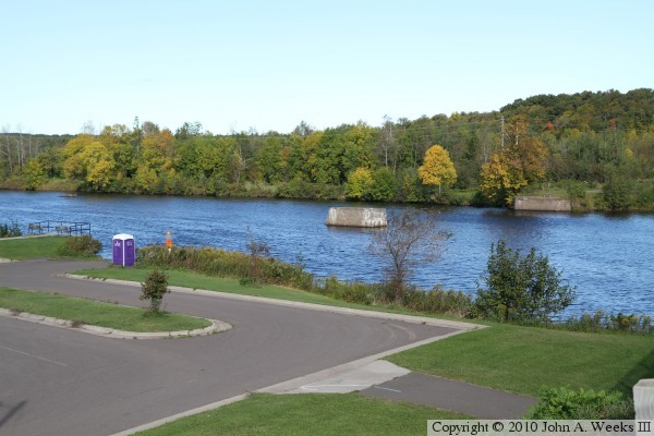
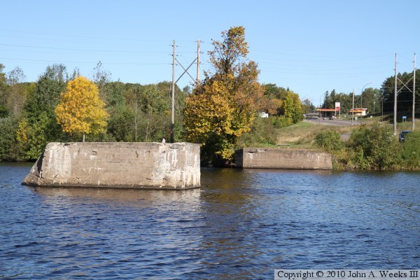
The photo above is looking northwest towards the bridge ruins from the
sidewalk on the north span of the MN-33 expressway bridge. Both abutments
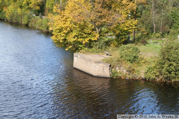
and the center pier is visible. The photo below is a closer view of the
south bridge abutment. It is now used as a fishing pier.
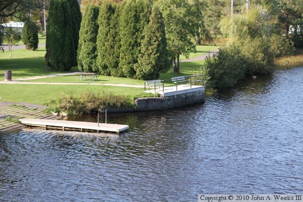
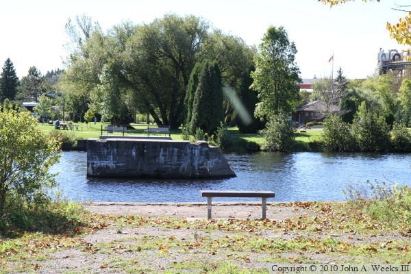
These two photos are also views from the north span of the MN-33 expressway
bridge. The photo above is the mid-channel pier. The Upper Dunlap Island
Bridge is visible in the background. The photo below is the north bridge
abutment.
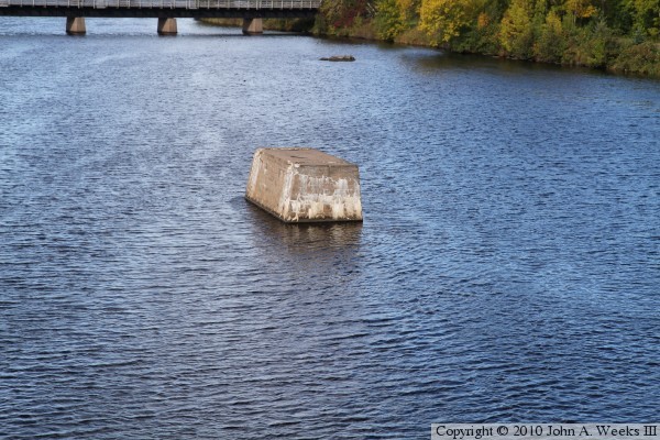
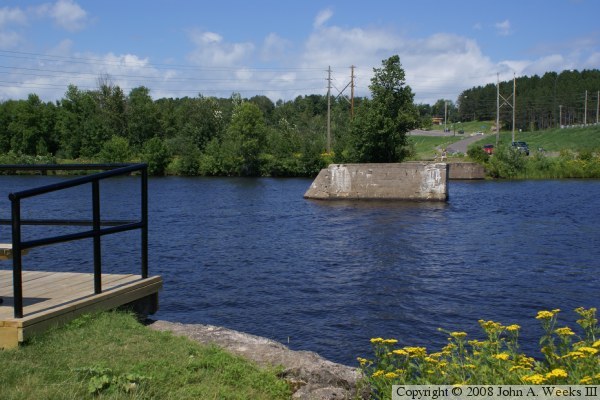
The photo below is looking north across the river channel from the south
bank of the river. The photo below is looking south across the river. Note
that the leading edge of the mid-channel pier is angled to help break up
ice that might lodge against the pier.
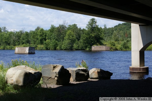
These two photos are about 4 years older than the photos above, and are
taken in early summer as opposed to early autumn. The photo above is
looking north across the river from the south bridge abutment, while the
photo below is looking northwest towards the old bridge pier and north
abutment from under the northbound span of the MN-33 Bridge.