Thomson Road is one of three roads, along with MN-45 and MN-210, that
serve the Thomson and Carlton area and have freeway exits from I-35. Thomson
Road approaches the area from the east, while MN-45 approaches from the
north and MN-210 approaches from the east. All three roads converge
just south of the Thomson Reservoir, the northernmost component of the
huge Thomson Dam water project.
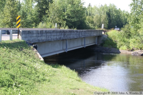
In the case of the Thomson Road Bridge, it does not cross the main
channel of the Saint Louis River. Rather, it crosses the Forbay Canal.
This canal carries water from the Thomson Reservoir two miles to the
east, where it then flows through pipes for another mile. The water
eventually runs through giant power generating turbines before returning
back to the Saint Louis River at River Mile 24.
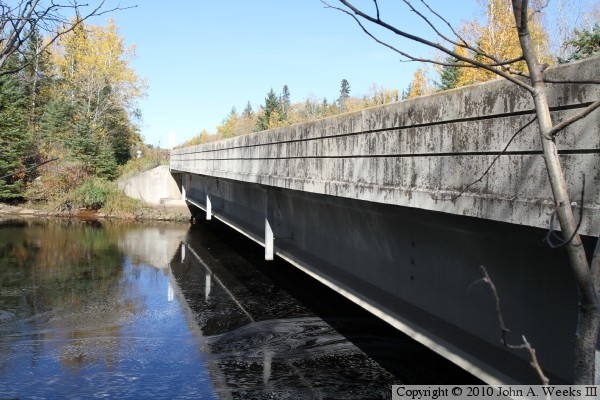
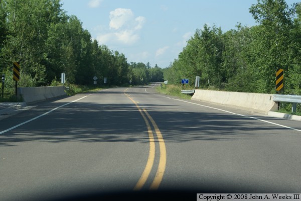
The bridge is a very typical prestressed concrete girder bridge. It
is short enough that mid-span piers are not required. As a result,
the girders are supported on each end by the bridge abutments. The
bridge features a reinforced concrete deck, and the modern style
slanted solid guardrails. One feature of note is that the bridge
has metal guardrails attached to the north end. On the south end,
the bridge connects to curb and gutter. The east side of the bridge
has a metal guardrail, while the west side does not. Rather it has
a sidewalk with a handicap ramp leading down to the roadway. There
is no guardrail to prevent someone from walking past the sidewalk
and into the canal other than a small blue and white marker sign.
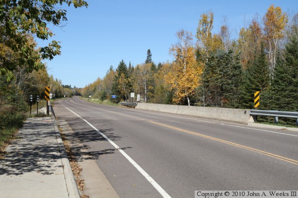
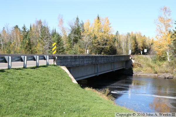
The photo above is an autumn view looking north across the bridge deck from
the southwest corner of the structure. Note that the sidewalk ends at the
bridge, but doesn't have a guardrail like the other three corners of the
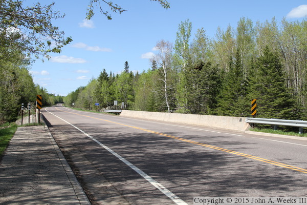
bridge. The photo below is a summer view from the same vantage point.
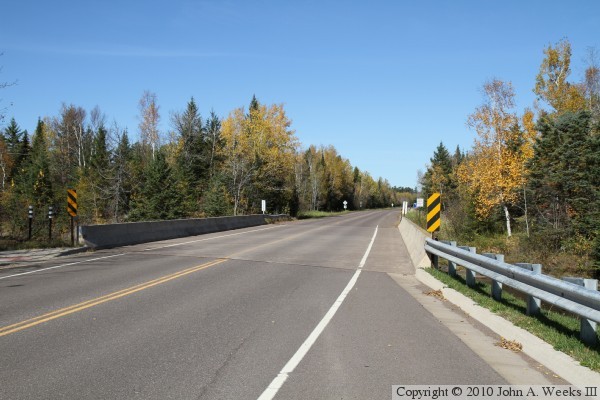
The photo above is a view looking north down the length of the bridge deck as
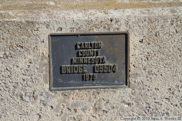
seen from the southeast corner of the structure. The photo below is the
bridge plate.
The photo above is looking north across the Forbay Canal along the upstream
east face of the Thomson Road Bridge. The photo below is a similar view
looking north across the canal along the downstream east face of the bridge.
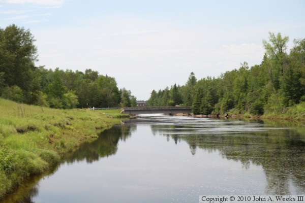
The photo above is looking upstream to the northwest along the canal channel
towards the Thomson Road Bridge. The vantage point is a concrete retaining
wall along the edge of the canal near the former railroad bridge that now
carries the Willard Munger Trail across the canal. The photo below is the
upstream side of the Thomson Road Bridge as seen from the south bank of
the Forbay Canal. Note that the water level is relatively high in this
photo following an early snowstorm in October, 2010, that melted very quickly
causing spring-like water levels in the Saint Louis River.
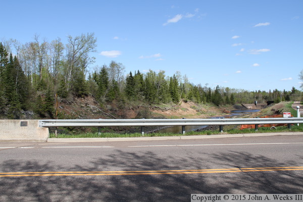
These two photos are summer views of the Thomson Road Bridge. The photo
above is looking north down the center of the bridge deck, while the photo
below is the downstream east face of the bridge.
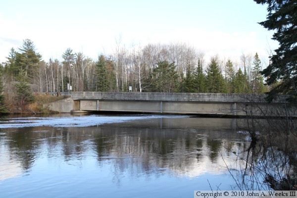
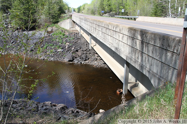
A storm of historic proportions hit the Duluth area on June 19-20, 2012,
dropping 11 inches in some areas. The Thomson Dam overtopped resulting in
a large flow of water to surge down the Forbay Canal, blowing out the
side of the canal and creating a new river channel through Jay Cooke
State Park. The canal was drained and left in a dewatered state as repairs
took over two years to complete. The photo above is looking downstream from
the Thomson Road Bridge, while the photo below is the canal on the upstream
side of the highway.