The huge Thomson Energy Center, also known as the Thomson Water Project,
generates 70-Megawatts of hydroelectric power. That is enough electricity to
light up a city of 100,000 people. That electrical power is generated when
water descends 370 feet through three parallel mile-long penstock pipes. The
penstock pipes are up to 20 feet in diameter. They run from the Thomson Dam
Intake, which is at the east end of the Forbay Canal, and they connect to a
power house on the north bank of the Saint Louis River. There, the water
re-enters the Saint Louis River after passing through the turbines in the
power house.
The highway MN-210 bridge over the penstock pipes is not visible from the
surface, rather, it is completely buried. The bridge consists of three
steel culverts, one placed around each penstock. The largest of these
culverts is 21 feet in diameter. The Penstock Bridge is listed as being
built in 1975. Given that the Thomson Dam was built in 1907, I suspect that
the bridge was rebuilt, possibly as part of a project to replace or upgrade
the penstock pipes. They would have been almost 60 years old at that point
in time.
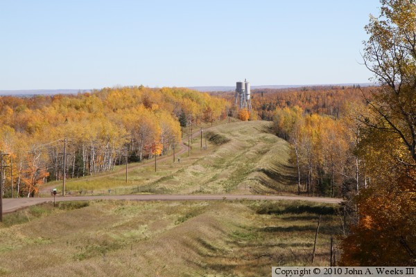
The photo above is looking downhill towards the surge towers near the power
plant along the path of the three penstock pipes. The vantage point is the
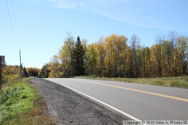
Thomson Dam Intake. The photo below is looking westbound down the length
of the Penstock Bridge.
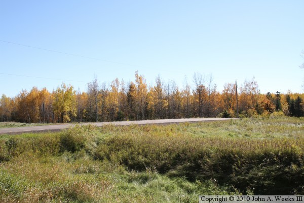
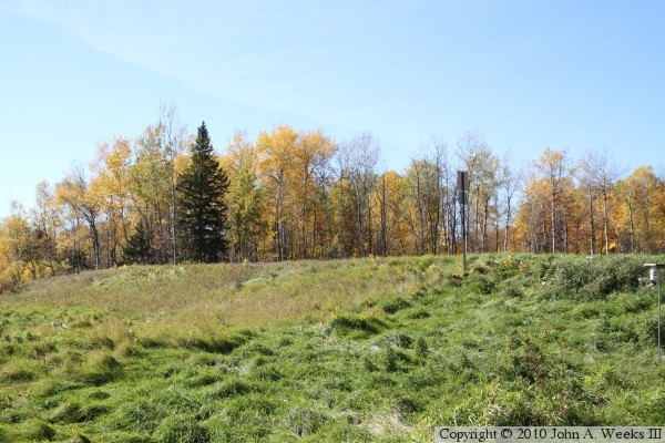
The photo above is looking southwest towards the uphill side of the Penstock
Bridge. The photo below is looking northwest towards the downhill side of
highway MN-210. It is difficult to make out the paths of the pipes in these
ground level views despite them showing up so clearly in the views from the
top of the hill. The dark section of grass in the foreground of the photo above
is the side of the mound covering the pipe. The eastern of the three pipes
is located just beyond the highway sign in the photo below.