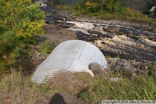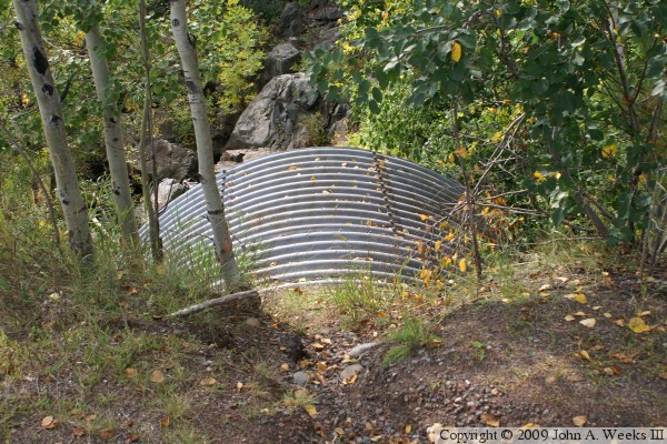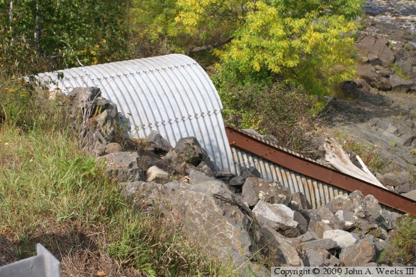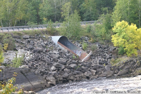
The Saint Louis River is mostly diverted into the Forbay Canal on the east end of the Thomson Reservoir, but a portion of the river water is allowed to flow down the historic river channel bypassing the hydroelectric power plant. The river channel at highway MN-210 is relatively narrow where it passes between two rock outcroppings. As a result, during periods of high water, this gap in the rocks would become a choke point.
To help prevent the bridge site from becoming a dam, and causing the water to eventually overtop and possibly wash out MN-210, an relief valve was installed. That relief is this 18-foot diameter steel culvert, the MN-210 Side Channel Bridge. The side channel bridge is set about a dozen feet above the normal river level. As a result, the river normally flows under the main highway truss bridge. If, however, the water level rises, a significant fraction of that water is diverted through the side channel culvert, bypassing the narrow spot under the truss bridge.
The photo above is looking southwest across the river channel towards the north face of the highway MN-210 Side Channel Bridge. The vantage point is the parking lot of the University of Minnesota Duluth Outpost. The outpost is part of the Recreational Sports Outdoor Program at UMD, and offers canoe, kayak, and whitewater classes.