| Highways, Byways, And Bridge Photography |
McKinley Bridge
McKinley Bridge Crossing From West To East
Saint Louis, Missouri
|
• Structure ID: |
NBI 000060600214602. |
|
• Location: |
River Mile 182.5. |
|
• Highway: |
McKinley Bridge Road. |
This is a photo tour of a crossing of the McKinley Bridge traveling west
to east from Saint Louis over the Mississippi River and landing in Illinois.
This trip was made in 2008 after the bridge was reopened following a major
rebuild.
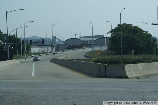
The photo above shows one of two ways to access the McKinley Bridge
from Saint Louis. The path is from the local neighborhood west of I-70.
An overpass over I-70 branches off of Salisbury Street and leads to
the McKinley Bridge.
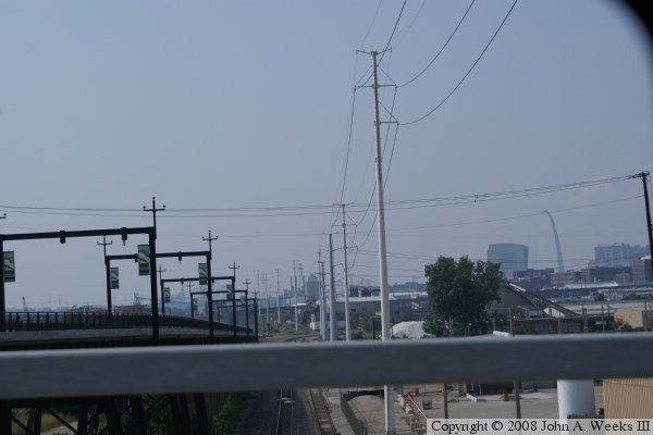
The photo below shows the other path to the McKinley Bridge access
road. This is the curve from North 9th Street, which is most often
access from a new ramp that was added to I-70 for the McKinley Bridge
project.

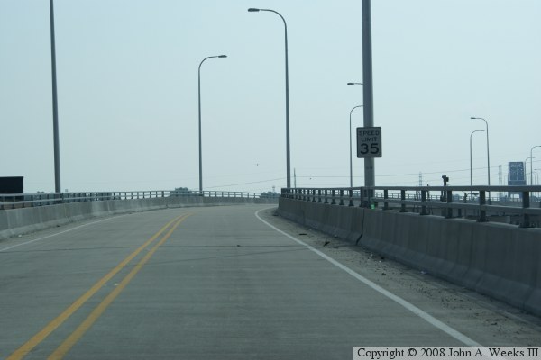
The photo above is the our first view of the elevated roadway that leads
to the McKinley Bridge. First, we gain a little altitude, and then turn
to the right. In the photo below, we make a second turn, this time to
the left.
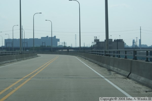
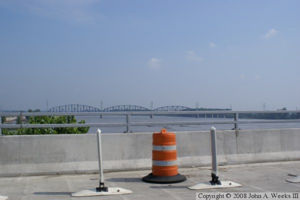
The photo above is another view of the elevated highway after passing
the S-curves. We have a bit more altitude to gain, and a small bend
to the right to be lined up with the bridge. In the photo below, we
look to the right, and see where the former electrified rail line, which
is now a regional trail, meets the bridge.

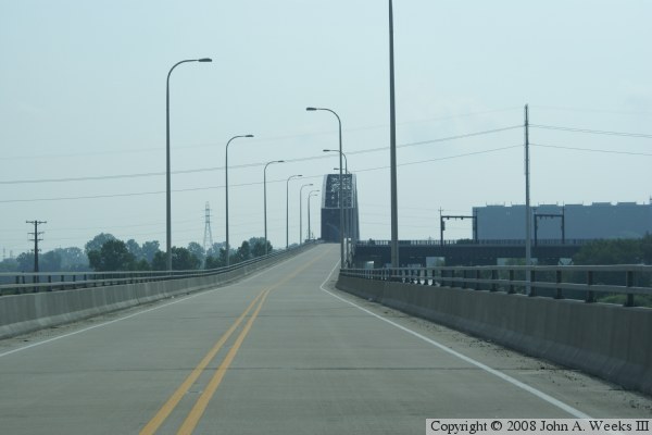
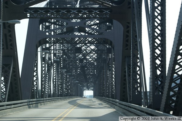
The photo above is a view of the bridge truss structure just before we
enter the first truss span. Notice that there are two lanes inside the
truss, and one lane on each side of the truss. The lane on the right is
a regional trail, while the lane on the left is for maintenance vehicles.
The while plastic barriers can fold down to give emergency vehicles quick
access to the outer lanes.
The photo below is a view looking to the left up river. We see the
Merchants Bridge, and the Mississippi River at a high water level.
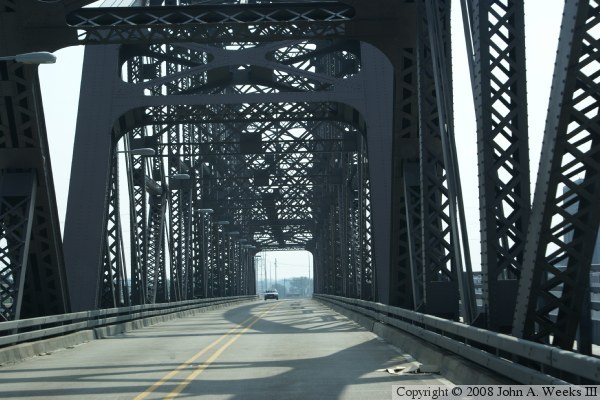
The photo above is exiting the western truss span and entering the center
truss span. The photo below is exiting the center truss span and entering
the eastern truss span.

The photo above shows our view as we exit from the final truss span.
The photo below shows the approach road after leaving the eastern span.
We will need to make a curve to the left before too long.

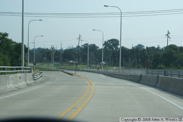
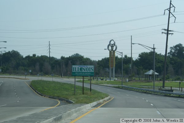
The photo above is a view of the roadway curving to the left and
descending down into Venice, Illinois. The photo below shows that we
are close to landing on earth again, which is marked by the change from
a concrete roadway to blacktop. Note the new style state line sign for
Illinois, and the bridge monument in the background.
|
