To solve this problem, the US Army Corps of Engineers designed and built the Chain Of Rocks Canal to bypass this area. The canal ran from just south of the mouth of the Missouri River to just north of downtown Saint Louis. The canal cut across highway US-66, so a bridge had to be built over the canal. Later, when I-270 was constructed, a pair of big metal monster bridges were built just north of US-66.
Due to bedrock being so close to the surface, the canal could only be so deep. Since cutting through the rock would be dramatically more expensive, an alternate solution of providing a deeper channel was accomplished by building a dam across the Mississippi River just south of the entrance to the canal. This caused water to back up behind the dam, raising the level of the river by 3 feet, giving the canal an extra 3 feet of water depth. The dam across the Mississippi River did not need to provide for navigation. So rather than building an elaborate lock and dam structure, the US Army Corps Of Engineers simply dumped barge load after barge load of rock in the river. The water raises up behind the rocks, and then flows over the rocks.
Locks #27 are located at the south end of the canal. While the canal water level remains level at 400 feet above sea level, the Mississippi River drops nearly 15 feet in the 10 miles that are bypassed by the canal. As a result, a lock is required to maintain that difference in water levels.
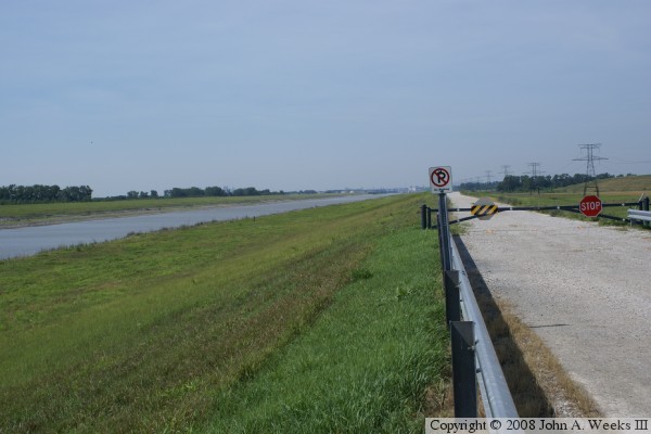
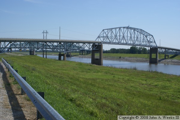
The photo above is looking north, with a view of both the single and double chain bridges. The first photo below is taken at the same location looking south. The canal was built very straight and level. The bottom photo is the northern entrance to the canal. The canal is in the foreground, while the combined Mississippi River and Missouri River is in the background.