To solve this problem, the US Army Corps of Engineers designed and built the Chain Of Rocks Canal to bypass this area. A low water dam was built just below the north end of the canal. This ensured that the entrance to the canal had sufficient water depth for tow boats. A lock was installed at the south end of the canal.
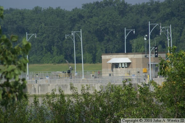
The locks were built in the late 1940s and early 1950s, opening in 1953. There is one 1200 foot super-lock, and a standard sized 600 foot lock. The 1200 foot lock allows larger tows to lock in one operation without having to break the tow into multiple pieces. Locks #27 are the busiest locks on the Mississippi River given that they are located south of the convergence with the Missouri River, so these locks handle the combined cargo flow from the Mississippi River, Missouri River, and Illinois River.
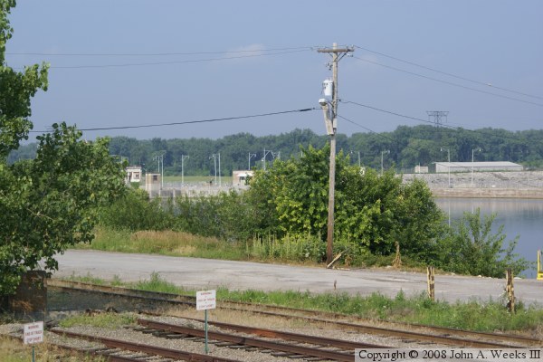
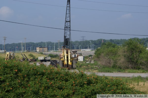
At this time, there is no public viewing area to see Lock #27. The west side is a national wildlife refuge that is closed to motor vehicles. The east side approach road is fenced off, the river front area is all private property, and the south flank is part of a military installation. As a result, the best photos possible at this time are glimpses taken with a telephoto lens. This situation is ironic because there are signs directing traffic to Lock #27 on highway IL-3 for over a dozen miles when traveling from Alton towards Granite City.