Current Weather Conditions
John A. Weeks III
Saturday, July 27, 2024, 2:56:12 AM CDT
Home Photo Tours Rail Fan 12 Easy Steps
Aviation Spacecraft Highways & Bridges About The Author
 
Google Search
Maps   Groups   Images   Search
 
  Home
  • 12 Easy Steps
  • Aviation
  • Spacecraft
  • Highways & Bridges
    » Bridge Photography
      - MSP River Bridges
      - C & D Canal
      - Illinois River
      - Minnehaha Creek
      - Minnesota River
      - Mississippi River
        › Lake Itasca Area
        › Bemidji Area
        › Cass Lake - Ball Club
        › Grand Rapids Area
        › Blackberry - Crosby
        › Brainerd Lakes Area
        › Little Falls Area
          · Pink Bridge Ruins
          · MN-115 Bridge
          · US-10 Br (Main Ch)
          · US 10 Br (Back Ch)
          · BNSF Little Falls (N)
          · Broadway Bridge
          · Little Falls Ped Br
          · Little Falls Dam
          · Little Falls Mill Ruins
          · BNSF Little Falls (S)
          · Blanchard Hydro Stn
          · Soo Line Trail Bridge
          · Morrison Co Hwy 26
          · Btn & Strns Hwy 2
        › St. Cloud Area
        › North Metro Area
        › Port Of Minneapolis
        › St. Anthony Falls Area
        › Mississippi Rvr Gorge
        › St. Paul Area
        › S St. Paul - Hastings
        › Red Wing - Winona
        › La Crosse Area
        › Lansing - Clinton
        › Quad Cities Area
        › Muscatine - Louisiana
        › St. Louis Area
        › Chester - Cairo
        › Miss - Tenn - Ark
        › Ark - Miss - Louisiana
        › Louisiana Structures
      - Missouri River
      - St. Croix River
      - St. Louis River
      - Wisconsin River
      - Best Miss River Photos
      - Cable Stayed Bridges
      - McGilvray Road Bridges
      - I-35W Bridge Disaster
      - Miscellaneous Bridges
      - Madison County Bridges
      - Hist Br Weekend 2013
    » Road Geek Topics
  • Photo Tours
  • Rail Fan
  • About The Author
 
Site Search By JRank
Highways, Byways, And Bridge Photography
Little Falls Mill Ruins
Mississippi River Historic Site
Little Falls, MN

Little Falls Mill Ruins

• Structure ID: N/A
• Location: River Mile 965.2
• River Elevation: 1,083 Feet
• County: Morrison
• Date Built: 1887 (Grist Mill), 1898 (Paper Mill)
Water power in Little Falls dates back to 1848, when James Green built a sawmill on the east bank of the falls. The sawmill and water rights passed onto several owners before becoming the Little Falls Company in 1854. A new dam and several mills were built at that time. A flood in 1860 swept the dam and all the mills away.

The little falls site remained unused after the food of 1860. There were several attempts to restart milling in the area. It was considered to be the second best hydropower location in the Midwest after Saint Anthony Falls given the 20-foot water head available.

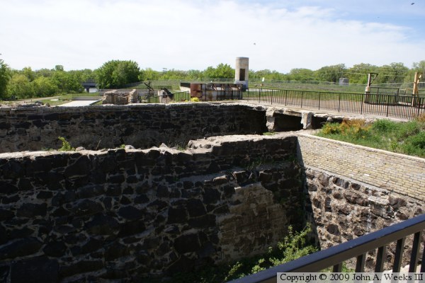
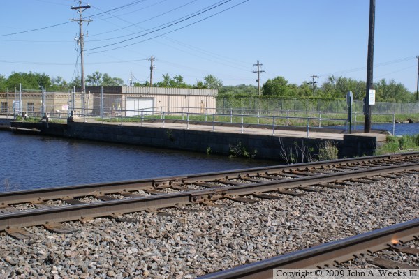
The next work at the site started in 1887 with the incorporation of the Little Falls Water Power Company. The company built a new dam, a canal on the west side of the river, both a head and waste gate structures, a powerhouse (which provided mechanical power), and a large grist mill. The canal was 1,000 feet long, 80 feet wide, and 13 feet deep. It was lined with retaining walls to hold back the sidewalls.

The Hennepin Paper Company from Minneapolis established a paper mill next to the grist mill in 1890. The paper mill was powered by the mechanical power that was available on-site. The Hennepin Paper Mill expanded in 1898 becoming one of the largest paper mills in operation. It was the largest employer in Little Falls for over 100 years. The mill was famous for making a rough grade of construction paper. In fact, for many years, this mill was the sole source of the paper used on Crayola Crayons. That fact resulted in a visit by Fred Rogers, host of the children's TV show “Mr. Roger's Neighborhood”, who featured a tour of the mill on his show in the late 1980s.

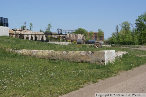
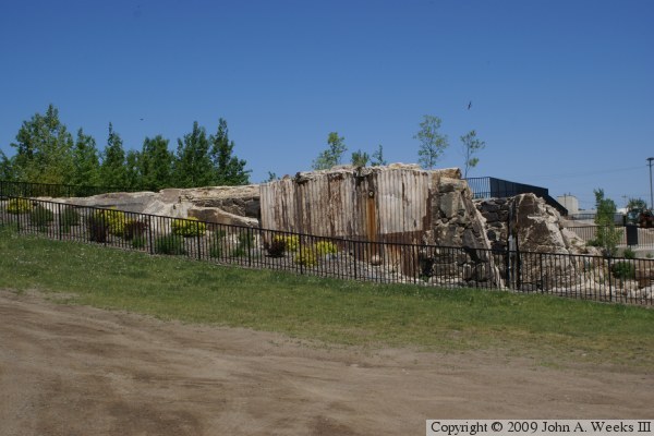
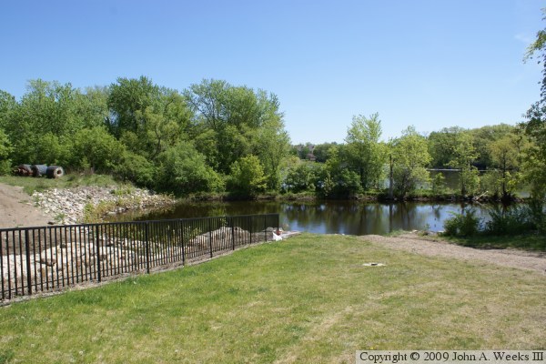
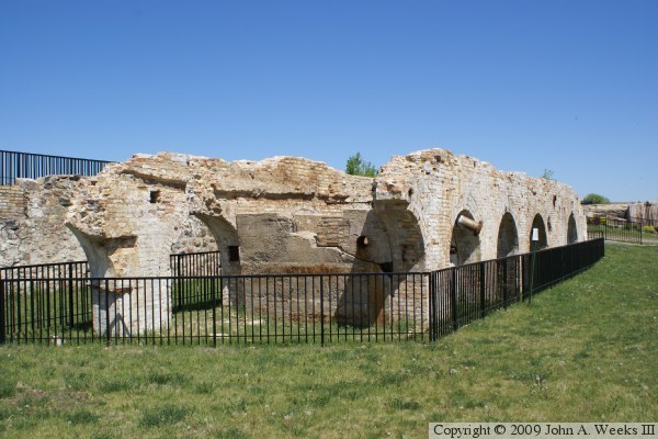
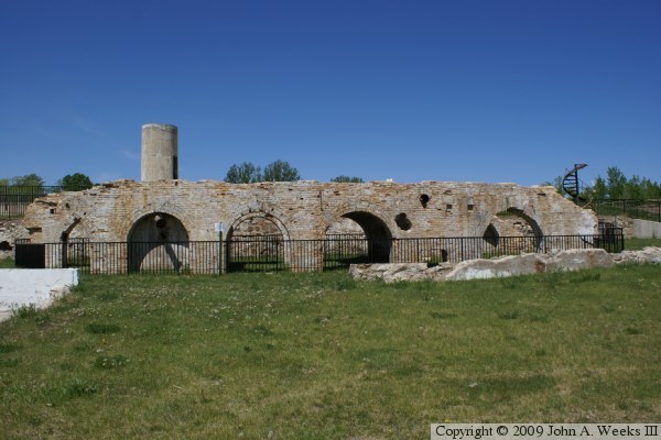
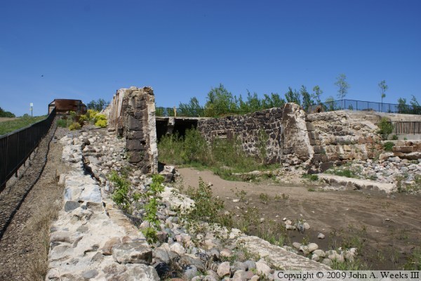
The Hennepin Paper Mill became economically obsolete in the 1980s and 1990s. It was bought and sold by several companies, such Wausau Paper Mills and Saint Regis Paper Company. The final owner was Minnesota Power, who finally closed the plant in 1999. The building sat idle for several years until a fire swept through the complex and caused major damage to the warehouse building. A review after the fire revealed extensive contamination of hazardous materials and the presence of large quantities of asbestos. Money was obtained from a number of sources including the EPA to tear down the buildings and clean up the site. A total of nearly $3-million was spent on the cleanup. Once the site was safe, it was decided to develop the land on the west side of the river as a regional park. As part of the park project, the mill ruins were stabilized and developed into a historical display. The park had its grand opening in 2005. There are still plans to do further development in the park such as restoring the canal to operation and building more interpretative displays.

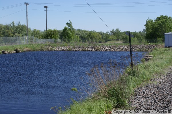
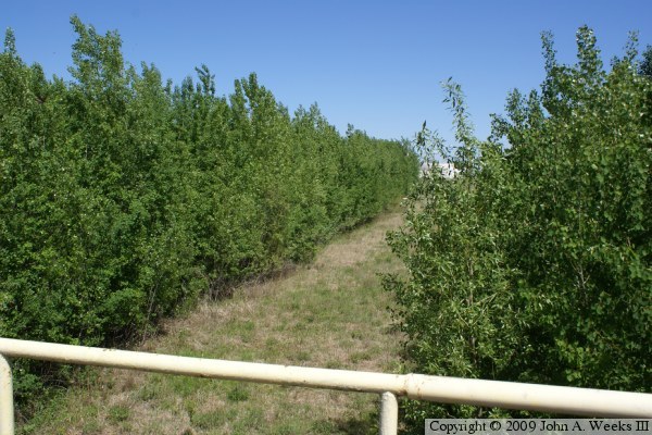
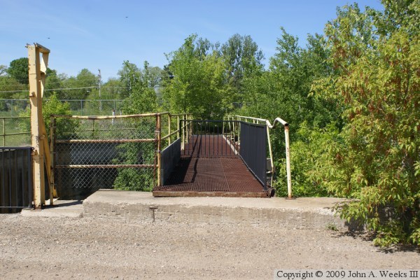
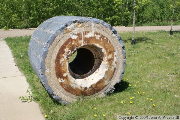
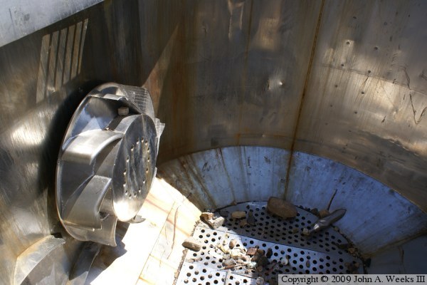
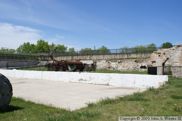
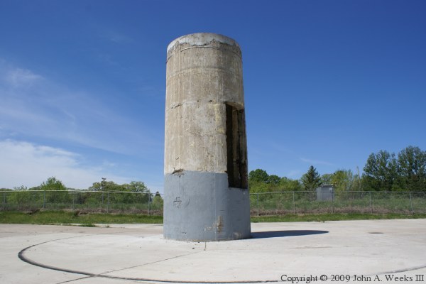
Several ruins of the mill complex are included in the Mill Park. The canal head structure, waste gates, and the foundations of the paper mill are still intact. The canal has been partially filled in, but the path is still readily apparent.


Little Falls Mill Ruins
The photo above is a view of the paper mill foundation from the west side. The photo above is a view of the paper mill foundation from an observation platform at the top of the ruins.

Little Falls Mill Ruins
The photo above is the westernmost section of the Little Falls Dam. The canal leading to the milling area starts at this concrete barrier. There is a tunnel under the water level that allows water to flow past this section of the dam. The photo below is the cofferdam that was built to block the mill canal.

Little Falls Mill Ruins
The photo above is the path of the canal leading to the mill head gate structure. The canal has been blocked with a cofferdam and largely filled in. There has been discussions on the possibility of digging out some of the canal to allow river water to once again flow through the mill site. The photo below is a side view of the head gate structure.

Little Falls Mill Ruins
These two photos are views of the head gate structure. The water flow was regulated by adding or removing vertical planks from the gate structure.

Little Falls Mill Ruins
The photo above is the channel in the basement of the paper mill where the water exited the water wheel that once turned the massive pulp grinders. The photo below is where the water flowed back into the Mississippi River.

Little Falls Mill Ruins
The photo above is one of the stones that was used to grind logs into wood pulp. While this looks ancient, a label inside the hole in the stone indicates that this is a Norton Pulpstone from March 1984. The photo below is a large stainless steel hydropulper. This device mixes the ground up pulp with water resulting in a slurry that has the consistency of oatmeal.

Little Falls Mill Ruins
These two photos are views of the remains of the basement level of the former Hennepin Paper Mill. This is a small part of what was once a much larger complex.

Little Falls Mill Ruins
The photo above is a view of more of the ruins of the Hennepin Paper Mill basement. The photo below is the remains of the mill smoke stack. This stack was once about 4 times taller.

Little Falls Mill Ruins
The photo above is the remains of a spiral staircase that once lead from the basement to the main level of the paper mill. The photo below are two of the finishing and drying rollers salvaged from the paper machine. The paper machine included 43 rollers of this design.

Little Falls Mill Ruins

Made With Macintosh
Authored by John A. Weeks III, Copyright © 1996—2016, all rights reserved.
For further information, contact: john@johnweeks.com