This bridge carries 125th Street NW across the Mississippi River near the
small town of Rice, Minnesota. It is one of two highway bridges between
Sartell at the northern extent of the Saint Cloud area and Little Falls.
This structure is a very modern steel girder bridge. It represents a
transition for the bridges over the great river. When heading north, this
is the first of the shorter and lower bridges over the river. Traveling
south, this will be the last bridge before you start getting to bridges that
are major civil engineering projects. Traveling north, you often find
bridges over the Mississippi River in rural areas where the roads naturally
meet the river. Going south, the bridges tend to be part of major metro
areas that can generate the traffic needed to justify a major river bridge.
The bridge itself is the typical 1970s and 1980s economical style steel
girder with concrete deck and concrete piers. It should last 100 years or
more with only routine painting and inspections.
The previous bridges in this location did not last that long. According
to Mary Costello (Climbing The Mississippi River Bridge By Bridge, Volume
2), the first crossing here was a ferry service. A 3 span steel truss
bridge was built in 1900. It was destroyed by ice in the spring of 1906.
A new metal truss bridge was built in 1907. Due to being very narrow
and lightly constructed, the 1907 bridge was more or less obsolete the
day it opened. It did, however, survive for 70 years.
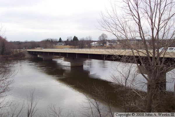
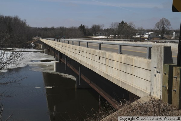
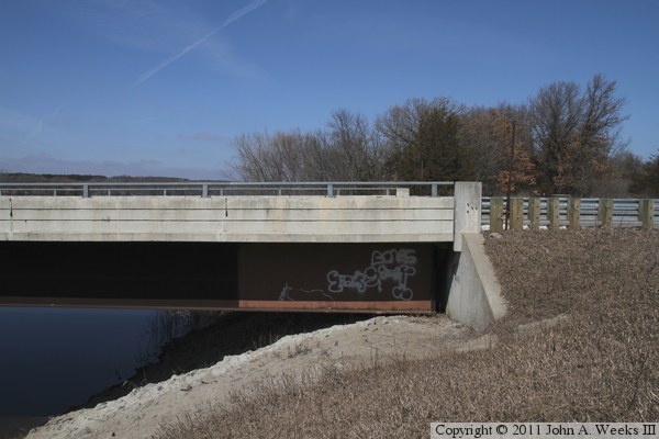
The photo above is the north face of the bridge looking towards the west.
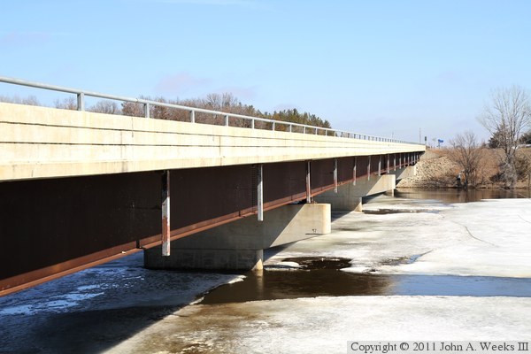
The photo below is a view looking west down the length of the traffic deck.
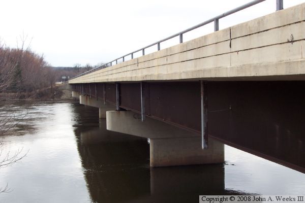
These two photos are views of the downriver or south face of the bridge.
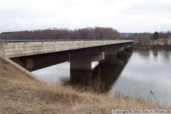
The photo above is a view from the east riverbank from a clearing located
a few hundred feet downstream of the bridge. The photo below is a view
from the southeast corner of the structure.
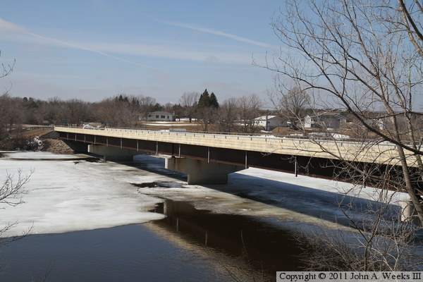
These two photos, and the eight that follow, are views from the spring of
2011 just as the last of the winter snow was melting. The photo above is
looking west down the length of the bridge deck as seen from the downstream
south side of the highway. The photo below is looking west across the
Mississippi River along the downstream south face of the bridge.
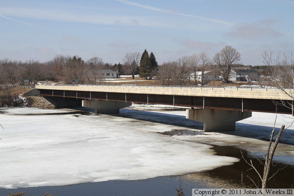
These two photos are looking northwest towards the downstream south face
of the County Highway 2 bridge from two different vantage points on the
east bank of the river. The slow moving current at this location has not
yet broken up all of the ice on the river.
These two photos are views looking north towards the east end of the bridge.
The photo above shows the first bridge span, while the photo below shows
the east bridge abutment.
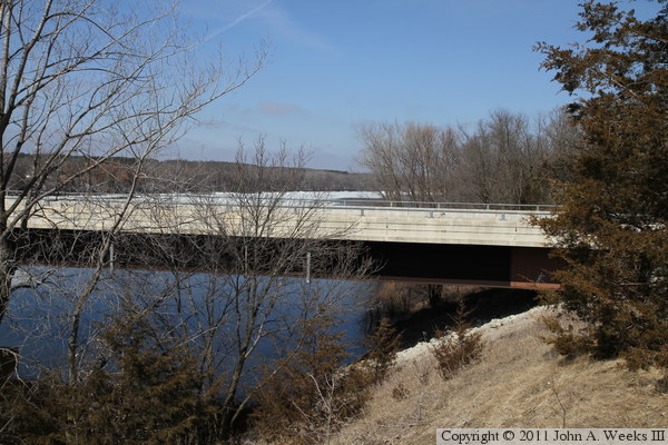
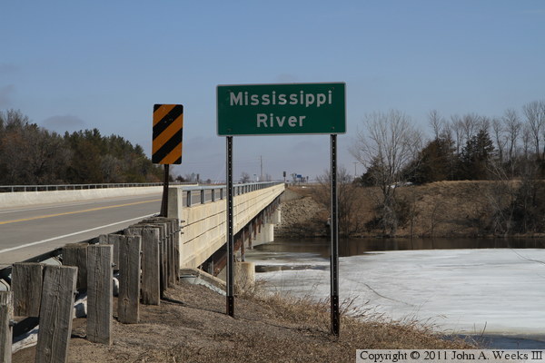
The photo above is looking east across the Mississippi River along the
downstream south face of the County Highway 2 bridge from near the water
level. The photo below is a similar view, but taken from higher on the
riverbank near the traffic level.
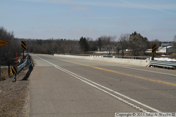
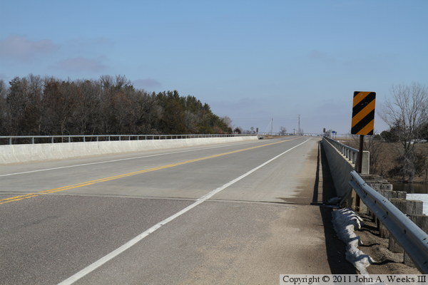
The photo above is looking east down the length of the bridge deck from
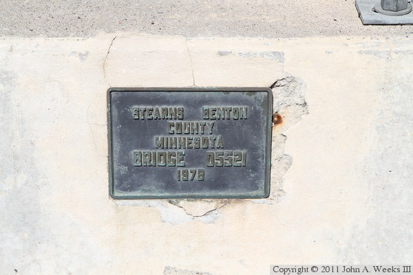
the southwest corner of the structure. The photo below is the bridge plate.