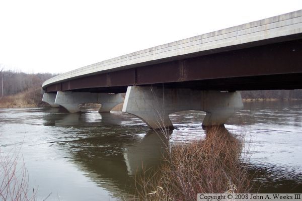
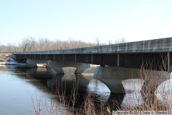
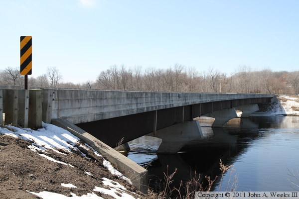
This bridge carries Nature Road, also marked as Morrison County Highway
26, across the Mississippi in a very rural area between Saint Cloud and
Little Falls. It is a typical steel girder bridge with concrete deck
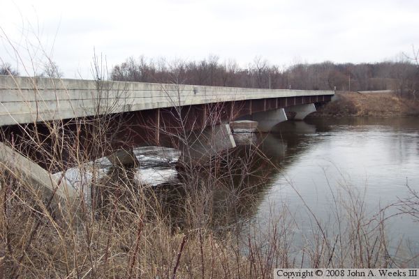
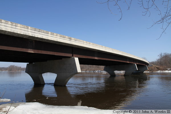
and concrete piers, but it has two very atypical features. First, is has
decorative curved piers. Due to the high water, those piers are
largely submerged in these photos. The second is that the bridge is built
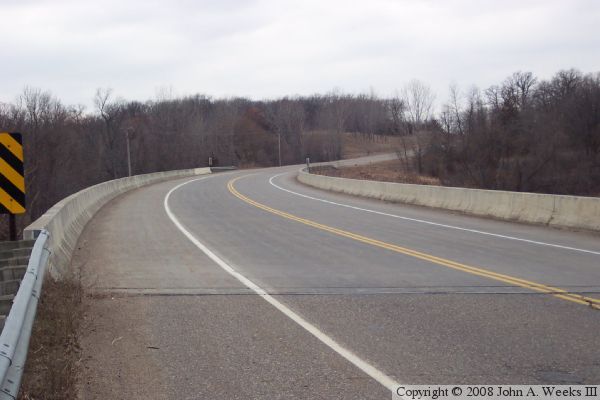
as one long curve. Steel girders work well for curved bridges because they
can be manufactured to match the roadway curve.
This bridge is located in a fairly lonely part of the state and sees
relatively little traffic. In fact, the Great River Road is unpaved
in sections north of there. This area is, however, worth seeking out.
The boyhood home of famous aviator Charles Lindberg is located on the
west side of the river between this bridge and Little Falls (though
a more direct route may be taken from Little Falls).
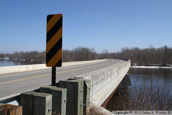
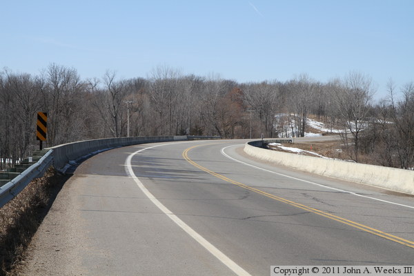
The photo above is the downriver face of the bridge. The photo below
is the upriver face of the bridge. The photo at the top of the page
is a view looking west done the length of the curving traffic deck.
These two photos, and the eight that follow, are views from the spring of
2011 just as the last of the snow was melting. The photo above is looking
east across the Mississippi River along the south face of the bridge. The
photo below is a similar photo looking east along the south face of the
bridge, but from near the traffic level rather than the water level.
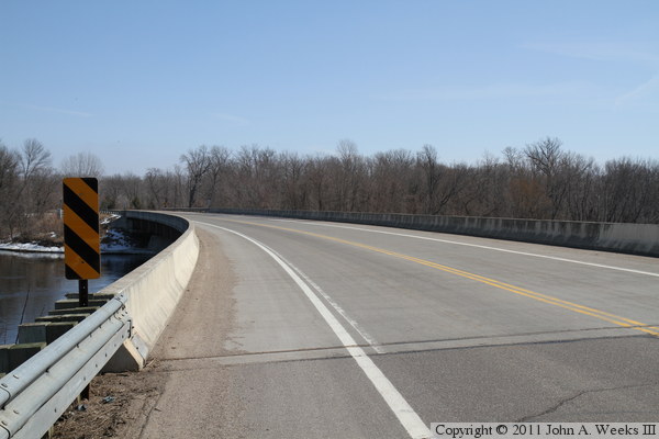
These two photos are looking east down the length of the bridge deck. The
photo above is taken from near the southwest corner of the structure, while
the photo below is from the northwest corner of the bridge.
These two photos are views of the upstream side of the bridge, which is
shaded from the midday sun. The photo above is looking east across the
Mississippi River, while the photo below is looking west across the river.
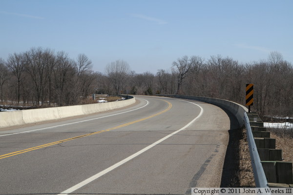
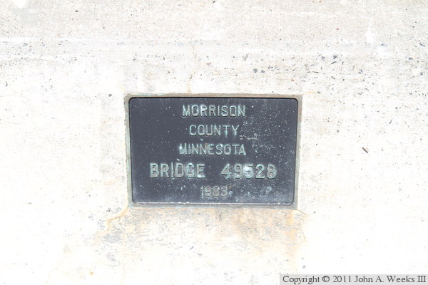
The photo above is looking west down the length of the traffic deck. The
road curves to the northwest as it crosses the Mississippi River. The
photo below is the bridge plate.
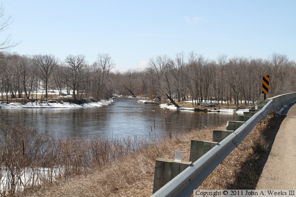
The photo above is looking southwest from the southeast approach to the
river crossing. A stream flows into the Mississippi River on the far
side of the river. A local landowner has built their own private park
just below the bridge on the west side of the river. Their fishing deck
can be seen in the trees along the riverbank. The photo below is the
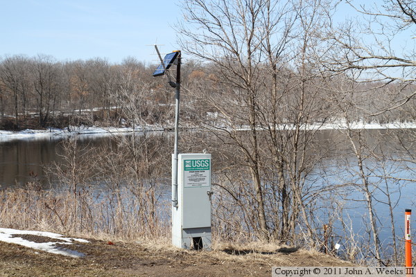
United States Geological Survey stream gauge located near the northeast
corner of the bridge.