Current Weather Conditions
John A. Weeks III
Thursday, September 2, 2010, 9:03:59 PM CDT
Home 12 Easy Steps Random Topics About The Author Portal
Aviation Spacecraft Highways & Bridges Photo Tours Rail Fan

Google Search

 Maps  Groups
 Images  Search
  Home
  • 12 Easy Steps
  • Aviation
  • Spacecraft
  • Highways & Bridges
    » Bridge Photography
      - MSP River Bridges
      - C & D Canal
      - Illinois River
      - Minnehaha Creek
      - Minnesota River
      - Mississippi River
        › Lake Itasca Area
        › Bemidji Area
        › Cass Lake - Ball Club
        › Grand Rapids Area
        › Blackberry - Crosby
        › Brainerd Lakes Area
        › Little Falls Area
        › St. Cloud Area
        › North Metro Area
        › Port Of Minneapolis
        › St. Anthony Falls Area
        › Mississippi Rvr Gorge
        › St. Paul Area
        › S St. Paul - Hastings
        › Red Wing - Winona
        › La Crosse Area
          · Lock & Dam #7
          · Dresbach Bridge
          · Round Lake Bridge
          · French Slough Bridge
          · Rest Area Bridge
          · Black River Channel
          · Hiawatha Islands Br
          · Clinton Street Bridge
          · Fisherman's Bridge
          · CP RR La Crosse
          · CP RR East Channel
          · CP RR French Slough
          · CP RR Black Rr Br
          · Pettibone Park Br
          · The Miss River Br
          · West Channel Bridge
          · Isle La Plume Foot Br
          · Niedbalski Bridge
          · Green Island Bridge
          · Goose Island Bridge
        › Lansing - Clinton
        › Quad Cities Area
        › Muscatine - Louisiana
        › St. Louis Area
        › Chester - Cairo
        › Miss - Tenn - Ark
        › Ark - Miss - Louisiana
        › Louisiana Structures
      - Missouri River
      - St. Croix River
      - St. Louis River
      - Wisconsin River
      - Cable Stayed Bridges
      - McGilvray Road
      - I-35W Bridge Disaster
      - Miscellaneous Bridges
    » Road Geek Topics
  • Random Topics
  • Photo Tours
  • Rail Fan
  • About The Author
  • John's Portal
 
Site Search By JRank
Highways, Byways, And Bridge Photography
French Slough Bridge
I-90 Mississippi River Crossing At La Crosse
La Crosse, Wisconsin

French Slough Bridge

Westbound Structure
• Structure ID: NBI B32004900000000.
• Highway: I-90 Westbound.
• Daily Traffic Count: 14,180 (2003).
• Length: 137 Feet.
• Width: 39 Feet.
 
Eastbound Structure
• Structure ID: NBI B32004800000000.
• Highway: I-90 Eastbound.
• Daily Traffic Count: 13,250 (2003).
• Length: 137 Feet.
• Width: 39 Feet.
 
Statistics Common To Both Structures
• Location: River Mile 701.8.
• River Elevation: 631 Feet.
• Bridge Type: Concrete Girder, Concrete Deck.
• Navigation Channel Width: Non-Navigable.
• Height Above Water:  
• Date Built: Built 1967.
The I-90 Mississippi River crossing at La Crosse is nearly 3 miles across. The crossing consists of long causeways, the main channel Dresbach Bridge, the Black River Channel Bridges, the Round Lake Bridges, and these two bridges over French Slough. These two bridges are the shortest of the 7 bridges that make up the I-90 Mississippi River crossing at La Crosse. French Slough is a small backchannel that runs along the edge of French Island, a large island in the middle of the Mississippi River that is home a residential area, several marinas, an industrial park, and the La Crosse Airport.

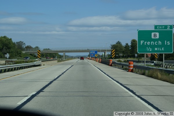
The photo above shows the westbound bridge heading towards Minnesota during late summer, while the photo below shows the same westbound crossing during mid-winter. The photo at the bottom is the eastbound bridge. In that photo, you can see the rest area bridge on the right, and the westbound bridge on the left.


French Slough Bridge

Made With Macintosh
Authored by John A. Weeks III, Copyright © 1996—2010, all rights reserved.
For further information, contact: john@johnweeks.com