|
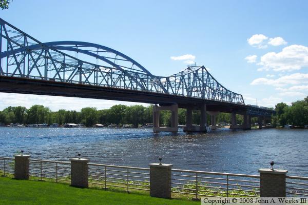
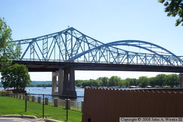
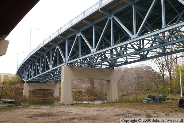
Cass Street Structure |
|
• Structure ID: |
B32030000000000. |
|
• Highway: |
Westbound US-14, Northbound US-61. |
|
• Daily Traffic Count: |
22,296 (2003) |
|
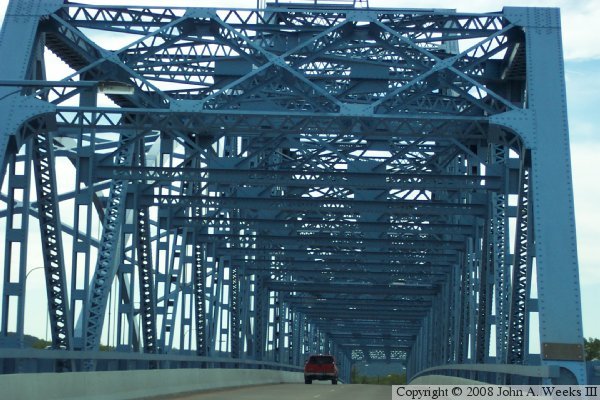
• Bridge Type: |
Steel Truss Through Deck. |
|
• Length: |
2,532 Feet Overall. |
|
• Width: |
30 Feet, 2 Lanes. |
|
• Height Above Water: |
67 Feet. |
|
• Date Built: |
Opened July 1940. |
| |
|
Cameron Avenue Structure |
|
• Structure ID: |
NBI B32020200020000. |
|
• Highway: |
Eastbound US-14, Southbound US-61. |
|
• Daily Traffic Count: |
19,800 (2003) |
|
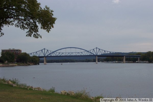
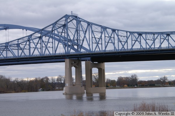
• Bridge Type: |
Steel Arch Suspended Deck. |
|
• Length: |
2,573 Feet Overall, 475 Feet Longest Span. |
|
• Width: |
50 Feet, 2 Lanes. |
|
• Height Above Water: |
68 Feet. |
|
• Date Built: |
Opened November 17, 2004. |
| |
|
Statistics Common To Both Spans |
|
• Location: |
River Mile 697.5. |
|
• River Elevation: |
631 Feet. |
|
• Navigation Channel Width: |
462 Feet. |
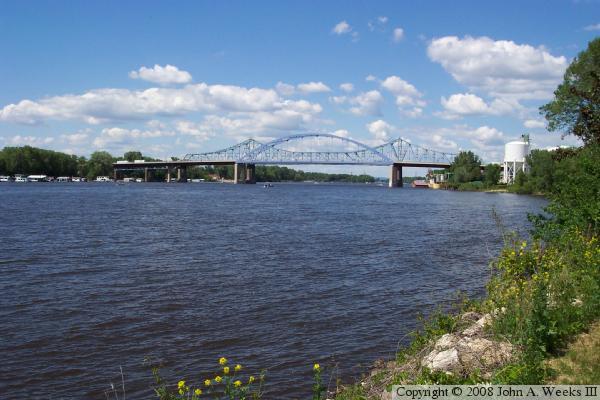
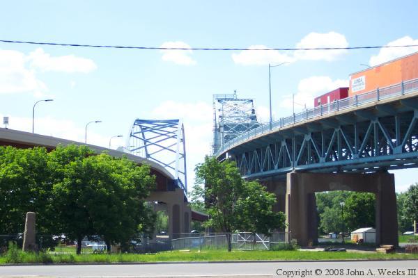
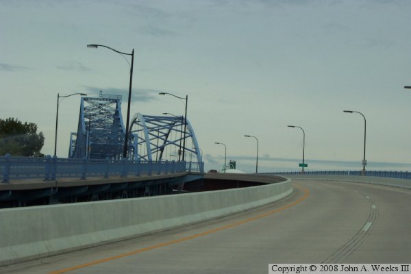
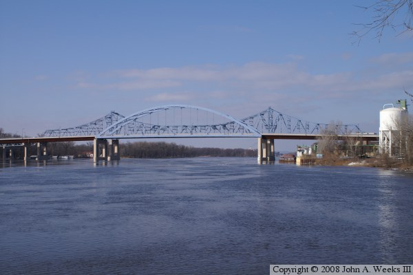
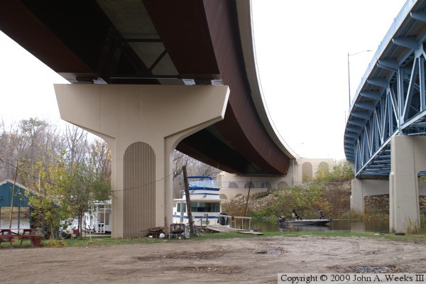
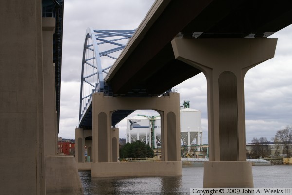
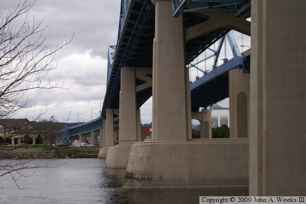
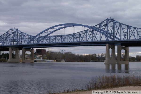
There are two bridges at this crossing. The
older steel truss bridge is known as the Cass Street Structure. The
new steel arch bridge was added in 2005. It is known as the Cameron Avenue
Structure. Together, they are called The Mississippi River Bridge. The
87 foot tall arch for the Cameron Avenue bridge was built in a dry dock
downstream and floated into place. This allowed the main channel to
remain open for shipping during construction. The Cass Street bridge
is being rehabilitated during 2005 and 2006, with all traffic routed
on the Cameron Avenue bridge during the project. When completed, the
older bridge carries US-14 and US-61 west to Minnesota, while the
newer bridge carries US-14 and US-61 traffic into downtown La Crosse.
The older bridge has a single entry in the National Bridges database. The
newer bridge, however, has three entries. The approach spans are treated
as separate bridges from the arch section. The lengths and NBI numbers
are:
- West Approach: 1,110 Feet, NBI B32020200030000
- Main Span: 475 Feet, NBI B32020200020000
- East Approach: 1,010 Feet, NBI B32020200010000
Note that adding these three lengths ends up with a number that is longer
than the officially reported length of the entire bridge project. I find
these types of numerical discrepancies to be common.