This bridge is one of the first 15 bridges to cross the Mississippi River.
The bridge was built as a truss bridge in 1876. It was replaced with a
swing span in 1902. That swing span was removed in 2004 and replaced
with a bascule draw lift bridge. This is the only draw bridge on the
Mississippi River. It mainly serves recreational boat traffic, much
of it generated by the nearby marinas. The bridge operates an estimated
2,000 times per year.
The Black River was once a separate river that converged into the Mississippi
River near downtown La Crosse. When Lock & Dam #7 was built, the
Mississippi River captured the Black River about 10 miles upstream. The Black
River channel remains wetlands in areas, is used as farmland in some areas, and
the southernmost three miles now carry the combined Mississippi River and Black
River flows.
This bridge is part of a total of 4 bridges that make up the La Crosse railroad
crossing. These bridges are, moving east, the Main Channel Rail Bridge, East
Channel Rail Bridge, French Slough Rail Bridge, and this, the Black River
Channel Rail Bridge. These bridges were built by the Milwaukee Road, which
merged with the Soo Line, which has since been bought out by the Canadian
Pacific Railway. The La Crosse rail bridge is one of three places that the
Amtrack Empire Builder passenger train crosses the Mississippi River, the other
two being Hastings, MN, and Little Falls, MN.
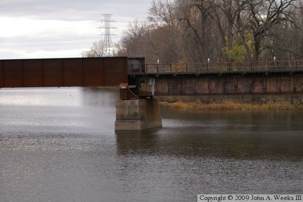
The photo above is a view from the west bank of the channel as seen from
French Island. The view is looking to the southeast. This photo was taken
in the winter of 2004 and 2005 shortly after the bridge was completed. The
railroad set up an observation area along the river to allow spectators to
watch the bridge construction. The project received a lot of local press
coverage at the time. The photo below is the transition point between an
older deck pate girder span and a pony plate girder span on the west side
of the draw span.
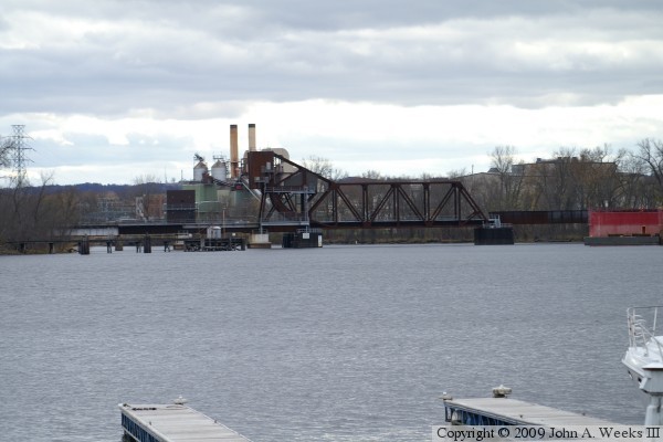
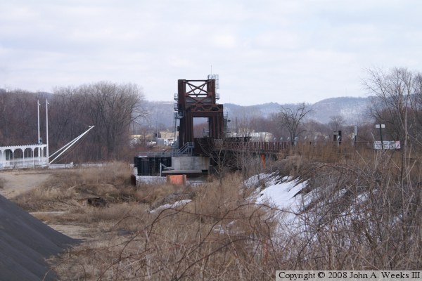
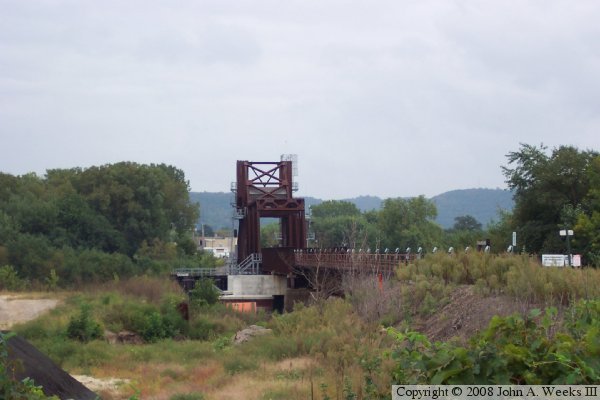
These two photos are views looking south from the tip of Veterans Freedom
Park. The photo above is an overview, while the photo below is a close
view of the draw span.
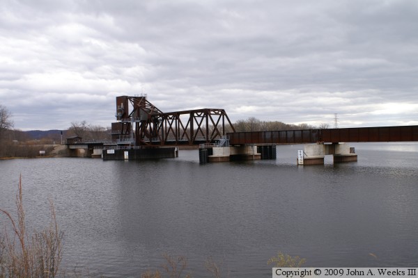
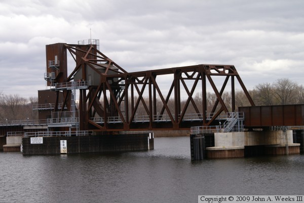
These two photos are looking southeast from a location on French Island just
north of the structure. The photo above is an overview, while the photo below
is a close view of the draw span. The small house on the draw span appears
to be a machinery room. It would tip when the bridge operates, so it is
unlikely that the bridge operator would be on the structure as it opens.
Rather, it appears that there is an operator hut located on the east shore
of the river.
These two photos are winter views looking towards the east from French Island.
The photo above is looking along the north face of the structure, while the
photo below is looking through the draw span.
These two photos are views looking towards the east from French Island, this
time, taken during the summer. Since these photos were taken, the area on
the north side of the bridge has been cleaned up. It is now a parking area.
A road has been put in that runs along the railroad embankment and crosses
under the deck plate span between the west bridge abutment and the river.